Download
1 / 5
50 likes | 130 Views
Understand the location of countries and capitals in Africa, Asia, and the Southwest Pacific using latitude and longitude coordinates. Learn about the Equator, Prime Meridian, and hemispheres. Test your knowledge with map exercises.

E N D
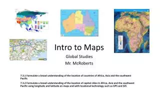
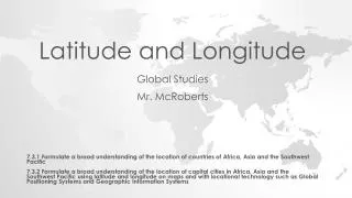
Latitude and Longitude Global Studies Mr. McRoberts 7.3.1 Formulate a broad understanding of the location of countries of Africa, Asia and the Southwest Pacific 7.3.2 Formulate a broad understanding of the location of capital cities in Africa, Asia and the Southwest Pacific using latitude and longitude on maps and with locational technology such as Global Positioning Systems and Geographic Information Systems
Latitude Latitude is made of parallel lines running north and south of an imaginary line called the Equator. These lines are called parallels, because they are equal distance from each other. The Equator splits the earth into two hemispheres: Northern and Southern. Lines above the equator will have a value and north (ex. North pole = 90°N). Lines below the equator will have a value and south (ex. Sorthpole = 90°S).
Longitude Longitude is made of lines called meridians, running west and east of an imaginary line called the Prime Meridian. This divides the earth into two hemispheres: Western and Eastern. Lines west of the Prime Meridian will have a value and west (ex. 90°W). Lines east of the Prime Meridian will have a value and east (ex. 90°E).
So Where is the Center of the Earth (0°, 0°)? The origin point (0,0) is where the Equator intersects the Prime Meridian. (0,0) is off the western coast of Africa in the Atlantic Ocean.
Let’s put our latitude and longitude knowledge to the test!!! See if you can solve some mysteries using latitude and longitude to pinpoint geographic coordinates on a map!