Download
1 / 27
270 likes | 286 Views
This overview explores the various applications of Earth Science in the EGEE infrastructure, including topography, land cover, marine phenomena, climate change, and more. It also discusses the challenges and opportunities in processing and disseminating data for real-time and long-term predictions.

E N D
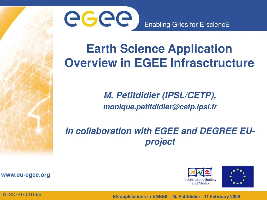
Earth Science Application Overview in EGEE Infrasctructure • M. Petitdidier (IPSL/CETP), • monique.petitdidier@cetp.ipsl.fr • In collaboration with EGEE and DEGREE EU-project
Topography & Motion Land cover & vegetation Marine SST, SSH& colour Currents, bathymetry & ice Planet Earth : a complex system GOME total ozone assimilation Stratospheric Ozone Industrial Emissions Atmospheric profiles 10 y displacement of Etna 1992-01
Acute Questions for Earth Science • Forecasting of meteorological events • Extreme events: storm, tornado, hurricane, earthquake, tsunami… • Water management: precipitations, flood, aquifer.. • Pollution,,… • => To provide real time information: real time data access, data assimilation and modelling • Long term prediction : Climate Change • In October 2007, Albert Arnold (Al) Gore Jr. and the IPCC (Intergovernmental Panel on Climate Change): Nobel Peace Prize 2007 "for their efforts to build up and disseminate greater knowledge about man-made climate change, and to lay the foundations for the measures that are needed to counteract such change”. • Climatology i.e. trend of parameter variations like temperature, precipitations…. • Polar ozone hole • Impact on agriculture, weather… • => Long series of multiple data sets, Intense processing, • Discoveries and Dissemination of the knowledge • How it works, Why… • These are Questions for Operational and Science organisations
Earth Science Challenges • To answer the questions, needs to address the following situations: • Global, regional, local applications • Alternative use of the data at different time and spatial resolutions • Large historical distributed archives • Long term data archives to be exploited for climatology • Near real-time access to data and processing • For processing, value adding and dissemination • For now-casting and alert • Models to provide long term trends and forecast • Processing-intensive, data-intensive and complex applications • Integrate different data sources • Standardisation, Data policy, … • Data fusion, data assimilation, data mining, modelling … • Link data to technical information and scientific results • Data are at the centre of ES applications
GRID Technology • GRID infrastructure • Considered a comfortable “open platform” for handling computing resources, data, tools… • Impressive number of shared resources • A collaborative possible platform among teams and/or countries • Secure and restricted access to resources, data, tools • Use of Grid: application requirements of the proposed application, data, numerical approach, type of computing resources, languages of code • EGEE well adapted to: • Sharing data and algorithm • Processing and/or production of large data sets of data • Complex workflow • Statistical approach • Other approaches: MPI, Modelling, simulation • Grid opens new fields of investigation in Earth Science
Earth Science Applications in EGEEII Flood of a Danube river-Cascade of models (meteorology,hydraulic ,hydrodynamic….) UISAV(SK)- ESA, UTV(IT), KNMI(NL), IPSL(FR)- Production and validation of 7 years of Ozone profiles from GOME Rapid Earthquake analysis (mechanism and epicenter) 50- 100CPUs IPGP(FR) Geocluster for Academy and industry CGG(FR)- Data mining Meteorology & Space Weather (GCRAS, RU) DKRZ(DE)- Data access studies, climate impacts on agriculture Modelling seawater intrusion in costal aquifer (SWIMED) CRS4(IT),INAT(TU),Univ.Neuchâtel(CH)- Specfem3D: Seismic application. Benchmark for MPI (2 to 2000 CPUs) (IPGP,FR) Air Pollution model- BAS(BG) Mars atmosphere CETP( FR):
Sharing data and algorithm • GOME/ERS – Production of ozone profiles and validation by Lidar data • ESA, UTV, KNMI, IPSL • 2 papers JQSRT • GEOCLUSTER – seismic plateform developed by CGGVeritas • Available for academic end-users • ELMER • available for ESR VO partners • CODESA3D - Hydrology
GOME Raw satellite data from the GOME instrument (~75 GB - ~5000 orbits/y) Level 1 (example of 1 day total O3) ESA(IT) – KNMI(NL) Processing of raw GOME data to ozone profiles. 2 alternative algorithms ~28000 profiles/day IPSL(FR) Validate some of the GOME ozone profiles (~106/y) Coincident in space and time with Ground-Based measurements Level 2 Visualization & Analyze Meta Database server PosgreSQL – geospatial search EGEE environment
GOME • 7 years of data, 14,5 orbits/day • Algorithms: • Neural network, NNO, (ESA, UTV) using IDL - 2 versions • Inversion Algorithm (KNMI) –data, O3 climatology, ECMWF.. • Lidar data (NSDC) • 7 stations maximum (IPSL) • Number of filed: 70000 for both 2 versions of NNO • Common development • Metadata base on a server with security and restricted access • Query by Geolocalisation in time and space of orbits passing over a lidar site by using PosgreSQL) • Results • Unique case of validation of a whole satellite data set with all the data taken by other instruments • Once the application was ported the validation of another algorithm or version is very fast
Geocluster – CGG Veritas • Seismic platform software developed by CGG (400 modules) ported on EGEE for research (R&D Industry + Academy) including tools le for data processing, simulation and visualisation • License server for authorized users • Available for academic french users of Geocluster • last Version available no need to download • Processing at a larger scale by using Grid resources
ELMER - CSC Pictures describe the flow of the glacier inside volcano Uskovsky, Kamchatka, Russia • Physical models of fluid dynamics, structural mechanics, electromagnetics, heat transfer and acoustics. • Available on Grid to ESR VO • http://www.csc.fi/elmer See the poster
Processing and/or production of large data sets • GOME • Geoscope: • Noise analysis of Geoscope database 25 years of seismic data • Evolution of pesticides into the soil • BRGM –European project Footprint • On going
Geoscope IPGP:E. Stutzmann, G. Patau, IPSL/EGEE: D. Weissenbach • 25 years of data • 28 seismological stations and data center • . Data access: query by mail, and made available on the geoscope ftp server • A daily data file for all the stations SEED (~200MB) • Job download the data (wget) and compute the noise DSP (~1h CPU). Code Fortran , octave (~Matlab), shell and perl scripts See the poster Impact on the design of other seismic data server
Footprint (http://www.eu-footprint.eu) • European project coordinator BRGM (Bureau deRecherches Géologiques et Minières) • Risk evaluation of contamination of water resources by pesticides at different time and spatial scales. • Weather scenarios (data base by Meteo France), soil scenarios and 100 pesticides • 12 millions de run 1-2h each • 10 TBytes • Interest to use EGEE: • 24/24 et 7 days/7 • Possibility to run simultaneously hundreds of jobs
Complex Workflow • Forecasting of river flood • Development of a platform on EGEE by IISAS (SK) • Collaboration IISAS in the framework of INTAS (CNES, Ukraine and Russia) to be used for Ukrainian rivers • Collaboration IISAS with l’Ecole des Mines d’Alès for French rivers • Interest of European project CYCLOPS (Cyber-infrastructure for CiviL protection Operative Procedures)
Forecasting of flood Cascade de simulations Data sources Meteorological simulation Hydrological simulation Hydraulic simulation Portal L. Hluchy, Viet Tran, M. Ciglan …. (II-SAS, Bratislava Slovaquie) • Danube river • Data :météorology, river network rivières, landscape • Meteorology model ALADIN (MPI-parallel), MM5 (MPI-parallel) • Hydrology HSPF (sequential-parametric), NLC (sequential-parametric), • Hydraulic. DaveF (MPI-parallel), FESWMS (MPI-parallel) • output: weather, précipitations, hydrography, water level and flood speed forecast • Cascade of jobs managed by dynamical workflow
Statistical approach • Intrusion of seawater into coastal aquifer • CRS4 (Italie), Univ. Neuchâtel (Suisse), INAT (Tunisie), France • Large interest by mediterranean countries –SWIMED, EUMedGrid • Monte Carlo method to get probability map with good accuracy • Radiation Transfer • OPGC/LaMP, France • Simulation of the back-scattered signal of the CALIOP experiment aboard the satellite CALIPSO using Monte Carlo approach. • high-resolution vertical profiles of aerosols and clouds
Hydrology Management of water resources in Mediterranean area (SWIMED): G. Lecca (CRS4 Italy), P. Renard (Unine, CH), J. Kerrou (INAT, Tunisia), R. Ababou (IMFT, Fr) CODESA-3D:Density-dependent 3D coupled groundwater flow and transport simulations Data requirement: Geology, Topography, Meteorology, Water extraction by the farmer, Aquifer properties (Soil maps, Land use) • GRID Impacts: • Enhancing the data sharing among the field geologists, modelers, and water managers • Allowing the water managers in Tunisia to investigate the potential impacts of management decision through a remote use of the grid : web interface - EUMEDGrid
OTHER Approaches • Control and optimisation of execution time of a bunch of simultaneous jobs • Earthquakes • Near –Real time job • Flood -Cyclops • RISICO - Cyclops • parametric Jobs • Geomorphologiy • Chain of jobs • Polar Ozone • Jobs longs (>24h) • MPI • SPECFEM3D • 3DSEM_UNSTRUCT • Meteorological Modelling • MM5, WRF, RAMS • Danish Pollution model
Earthquake Characteristics Fast Determination of mechanisms of important earthquakes (IPGP: E. Clévédé, G. Patau; IPSL: D. Weissenbach) • Application to run on alert • Collect data of 30 seismic stations from GEOSCOPE worldwide network • Select stations and data • Define a spatial 3D grid +time based on the assumed earthquake location • Run for each grid point or group of grid points a job => ~ 50-100jobs Results obtained ~6hr after the earthquake data arrival Important for emergency action and other related researches All major earthquakes so treated: 21/24 in 2006 => catalogue
Geomorphology Objective : understanding landscapes formation and evolution IPGP: C. Narteaux and O. Rozier Examples : erosion of the mountains, dynamic of dunes ... Algorithm : 3D cellular automaton for geomorphological researchvery simple transition rules between cells of different states (transport, deposition ...).
Modelling study of polar stratospheric ozone loss (IPSL) REPROBUS ECMWF Winds (2.5°/2.5°) chemical scheme resolution: (1 pt/ °) (2°/2°) Advection time step: 1 h regular grid advected grid interpolation vertical scheme every 6 h MIMOSA-CHIM Diabatic heating rates calculation S. Godin-Beekmann, J. Gazeaux A. Pazmiño, C. Boonne, O.P. Tripathi, D.Weissenbach • .Long Job • Complex workflow
SpecFEM3D (moguilny@ipgp.jussieu.fr) • Resolution of regional scale seismic wave propagation problems to model wave propagation at high frequencies and for complex geological structures, with use of the spectral-element method. • Application first written by D. Komatitsch (Université de Pau), used in more than 75 laboratories in the world,especially for the study of earthquakes. • Very scalable application using F90 + MPI needing NFS mounted homes and requiring the successive launch of two mpirunon the SAME nodes, allocated in the SAME order. • Project: to be distributed on EGEEII to authorized users
Meteorological modelling • MM5, WRF or Rams • Very common software in Earth Science • Large variety of applications: • Dependent on the input data for initialization and added modules • weather forecasting, climate, time evolution of phenomena, sensitivity test • Rams already ported • MM5, WRF on going • MPI based Skiron/Eta weather forecasting system for short time periods • Limited Area Weather and Environmental Forecasting on Grid Platform (LAWEF-GRID)
Final remarks • In EGEEIII improvement and/or implementation of functionalities more adapted to Earth Science • License server • Data management • Workflow • Portal • New tools needed to use the whole Grid potential • Due to Change in scale of computing power • Need of Exploration of huge data sets • Creation of Platform integrating web services, computing power, information systems…. • New conceptual approach of Earth Science • Role of Scientist • Interactive collaboration -> less duplication of development and/or adaptation • More time for new ideas, new research • Confidentiality of the research • Application development ( access to several large data sets, more CPUs…)
Strategic objectives • Bridge the ES and GRID communities throughout Europe • Ensure that ES requirements are satisfied in next Grid generation • Ensure the integration of emerging technologies for managing ES knowledge http://www.eu-degree.eu • The DEGREE team: • IISAS, Slovakia (Coordinator) • CNRS, France • KNMI, The Netherlands • UNINE, Switzerland • CRS4, Italy • SCAI, Germany • GCRAS, Russia • ESA-ESRIN, Italy • CGG, France • Dutch Space, The Netherlands Project Vision Build a bridge linking the ES and Grid communities
Earth Science Expectations • Pushing frontiers of scientific discovery by exploiting advanced computational methods. EGU (European Geophysical Union), Vienna, Austria – 13-18 April. 2008 EGEE booth & 2 Grid sessions ESSI8 and ESSI9