Download
1 / 17
170 likes | 246 Views
Delve into the significance of ocean bathymetry and how seafloor topography is measured through geoid principles, satellite technology, and its impact on ocean circulation, climate, and societal activities. Explore the relation between the Earth's geoid, the irregular seafloor topography, and the role of satellites in mapping ocean surfaces for various applications.

E N D
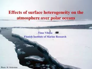
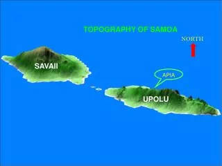
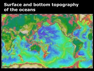
Surface and bottom topography of the oceans
How do we measure seafloor topography? • Why is ocean bathymetry important? Questions:
What does it mean to be at an altitude of 4000m? It means that I am 4000m above the Mean Sea Level (MSL) Then, what sets the mean sea level ?
Geoid of a rotating tank • Geoid = the shape of mean sea level • Centrifugal force pulls up the surface away from the axis of rotation • Parabolic surface • Apparent gravity is perpendicular to the tilted surface
Geoid on a spherical planet • Centrifugal force bulges out the surface away from the axis of rotation • Geoid ≈ ellipsoid • Apparent gravity is deflected outward • The Earth’s geoid has irregularities due to spatially varying gravity (shape) of the planet
What sets the Earth’s geoid? The spin of the planet Ellipsoid Irregular seafloor topography Local changes in gravity
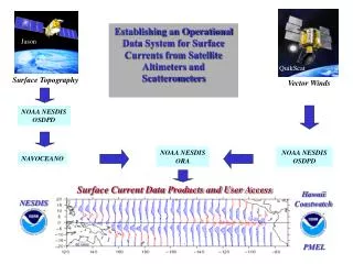
Measuring seafloor from space Reading material on Class Website “Satellite Topography and Oceanography from Space”
Satellite can measure the height of ocean surface very accurately The shape of surface ocean reflects spatially varying gravity of the planet Seafloor topography can be calculated based on the irregularity of gravity field
Why ocean bathymetry? • Tsunami prediction • Ocean current, climate studies • Offshore resource development • Submarine cables for telecommunication • International boundaries
Ocean Circulation and Climate Heat Transport affected by topography!
Ocean Circulation and Climate Ocean Currents take different paths!
Ocean Circulation and Climate Deep ocean mixing and pathways
Ocean Circulation and Climate Mixing energy and dissipation of tides!
Ocean Circulation and Biology Seamounts ….
Societal impacts Tsunami
Societal impacts Gas and oil extraction