Download
1 / 10
100 likes | 352 Views
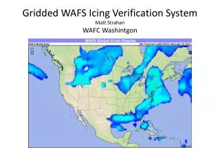
Gridded WAFS Icing Verification System Matt Strahan WAFC Washintgon. What to Verify?. WAFS grids are to be used during flight planning. WAFS icing grids are to be used to plan fuel loads needed to avoid potential icing if aircraft were to be forced to descend to icing levels.

E N D
Gridded WAFS Icing Verification SystemMatt Strahan WAFC Washintgon
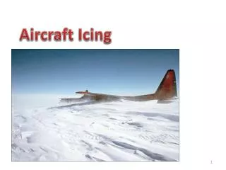
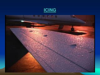
What to Verify? • WAFS grids are to be used during flight planning. • WAFS icing grids are to be used to plan fuel loads needed to avoid potential icing if aircraft were to be forced to descend to icing levels. • It follows that the requirement is to verify skill at detecting areas of potential icing. • Limited direct observations of icing are available. • Current Icing Product (CIP) product developed to observe areas of potential icing.
Explanation of Current Icing Product (CIP) • Areas of potential identified via a combination of satellite and initial analysis of temperature, vertical velocity and relative humidity to identify potential areas of icing. • This answers the questions: • Is there a cloud? • Is there potential for supercooled water? • Is there large scale vertical motion?
Further Refinement of Potential • PIREPS – increase/decrease potential • Radar – large droplet detection • METAR – rule out areas with frozen precip, increase potential in areas of freezing precip. • Lightning – increase potential in Cbs
Example of 20km CIP with all necessary inputs. It resolves severity and probability. Valid 29 April, 2013, 18 UTC. Highest value in column from 1000ft to FL300. Vertical resolution is 1000m. Does not match next slide, which is only for 600mb (FL140). Calibrated against automated TAMDAR observations. http://www.aviationweather.gov/adds/icing/icingnav
24HR WAFS 600mb Max Icing FcstValid 29 Apr, 2013, 18 UTC General areas of icing in agreement with CIP on previous slide. Note: Visual comparison is difficult. Previous slide in 20km resolution and shows vertical max. WAFS Grids in 139km resolution. Also, WAFS Grid is just potential, whereas previous slide is in severity.
Using CIP as Observational Analysis Field • Facilitates Grid to Grid Verification • A hit is when the analysis potential is equal or higher than the forecast potential. • A false alarm is when the analysis potential is less than the forecast potential. • Using a sequential series of potentials, a ROC curve can be generated that plots Hit Rate against False Alarm Rate.
WAFS Icing Verification Demonstration Web Site • URL is subject to change after final development is finished. • Currently only covers the Continental U.S. (CONUS). Global coverage is expected soon. • http://nomad7.ncep.noaa.gov/WAFS/EMC_VSDB_verif_demo/aviation.cgi
Expansion to Global Coverage • Studies show that Satellite and Initial Analysis are most important inputs. These are all that are used for WAFS verification. • Global satellite data in correct IR bandwidth to be available for use soon. • Plan to allow user to select from pre-defined regions. ICAO Regions?