Download
1 / 4
40 likes | 176 Views
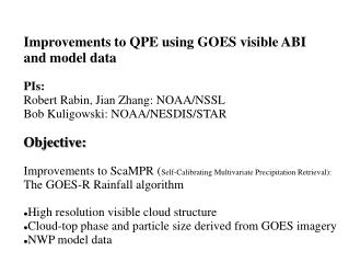
Improvements to QPE using GOES visible ABI and model data PIs: Robert Rabin, Jian Zhang: NOAA/NSSL Bob Kuligowski: NOAA/NESDIS/STAR Objective: Improvements to ScaMPR ( Self-Calibrating Multivariate Precipitation Retrieval): The GOES-R Rainfall algorithm

E N D
Improvements to QPE using GOES visible ABI • and model data • PIs: • Robert Rabin, Jian Zhang: NOAA/NSSL • Bob Kuligowski: NOAA/NESDIS/STAR • Objective: • Improvements to ScaMPR (Self-Calibrating Multivariate Precipitation Retrieval): • The GOES-R Rainfall algorithm • High resolution visible cloud structure • Cloud-top phase and particle size derived from GOES imagery • NWP model data
Milestones: Year 1 • Obtain SCaMPR software and modify for introduction of new variables. • Collect initial case studies (current GOES and NMQ; SEVIRI and NIMROD data). • Perform enhanced analysis of visible cloud structure for input to SCaMPR • Extract archived cloud-model output and simulated imagery. • Perform statistical analysis of added value of new parameters with SCaMPR. • Compare results with observed and simulated GOES data.
Milestones: Year 2: • Extend the analysis completed in year 1 to independent cases for further testing of SCaMPR. • Setup real time processing of with current GOES data for evaluation of QPE accuracy in site specific areas such as the Tar basin of North Carolina. • Document and submit results for publication
Use of visible and NSSL-WRF stats in QPE: 24 Aug 22:45 UTC WRF: Visible WRF:IR Band 13 WRF: Rain Rate (R) -40 -60C 10 20 30 40 50/hr G13: Vis G13: IR Band 4 R: WRF stats 50 75 100% -40 -60C G13: Overshoot probability R: WRF+overshoot stats R: radar NMQ 10 20 30 40 50/hr 10 20 30 40 50/hr 10 20 30 40 50/hr