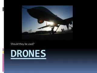
DISASTER ZONE DRONES
In recent years, typhoons, hurricanes, floods and earthquake disaster zones the world over, have all benefitted from the use of UAV’s, otherwise known as Unmanned Aerial Vehicles or drones. Their increased use for humanitarian purposes has seen the United Nations stepping in to create an official policy brief, outlining how they should be used safely and responsibly for disaster response purposes, and several other organizations such as UAViators and OSHA, have collaborated to explore how drones can be most effectively employed in disaster zones.

DISASTER ZONE DRONES
E N D
Presentation Transcript
In recent years, typhoons, hurricanes, floods and earthquake disaster zones the world over, have all benefitted from the use of UAV’s, otherwise known as Unmanned Aerial Vehicles or drones. Their increased use for humanitarian purposes has seen the United Nations stepping in to create an official policy brief, outlining how they should be used safely and responsibly for disaster response purposes, and several other organizations such as UAViators and OSHA, have collaborated to explore how drones can be most effectively employed in disaster zones.
Here are a few ways in which drones are helping to save lives when natural disasters strike: Giving a birds’ eye view of disaster zones: Humanitarian responders simply cannot assess disaster zones effectively from ground level and getting a birds’ eye view of the affected area is vital. Satellite imagery has long been used for this purpose, but they are costly, cannot be operated during certain weather conditions, are restricted when it comes to sharing data and have time limitations when acquiring images.
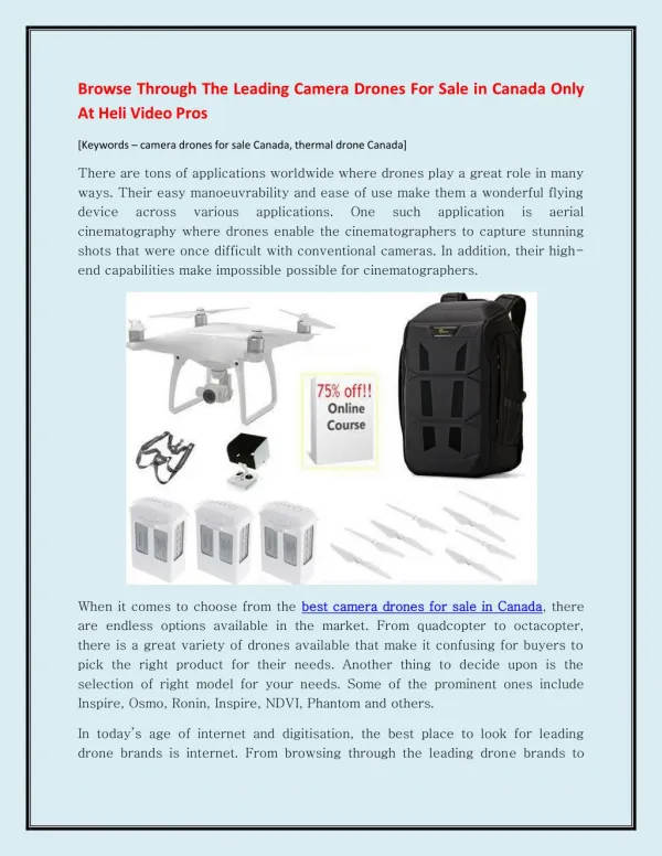
Drones, on the other hand, can capture aerial imagery at a higher resolution surpassing that of a satellite and can do so quicker and cost effectively. Not only this, but drones can be owned and operated by members of the public, enabling more people to get involved and help communities respond to a life-threatening crisis. There are even groups who have formed to help instruct local communities in how to operate UAV’s in preparation for a natural (or man-made) disaster. Helping communities help themselves: Disaster zones can be incredibly dangerous places, so it’s imperative
that those groups helping local people to form rescue coalitions using drones,teach them how to use the drones responsibly, safely and ethically, but there can be no disputing the fact that they can be instrumental not only in helping to save lives, but in helping with damage limitation and preparing communities in the event of future disasters. Sharing aerial images captured by drones in disaster zones must also be shared with local stakeholders; when the high-resolution aerial imagery is printed onto banners, it can be used by local stakeholders for subsequent community mapping projects.
The ‘Code of Conduct and Operational Check-list’: To enable drones to continue to be used effectively in disaster zones, UAViators compiled a code of conduct, an initiative designed to include the community from beginning to end, and which highlighted the fact that the public can play an important role in helping humanitarian organisations in the wake of natural disasters. The code of conduct is ongoing, and as UAV’s continue to be used to help aid efforts, more will be known about how to ensure that they are used appropriately. Drones may look small and often weigh little, but their effectiveness is
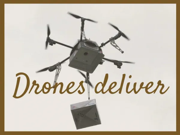
second to none when responding to disasters, and while they are currently being used predominantly to capture high resolution imagery, they will soon be used for transporting small but vital packages to those in need, and whom cannot easily be reached on foot or vehicle. Beverly Hills Aerials is a fully licensed and insured cinematography company in Los Angeles. We provide drone photography and aerial filming los angeles and throughout the United States at affordable prices with less turnaround time. If you are looking for drone los angeles or los angeles aerial photography, Visit us at http://beverlyhillsaerials.com