Download

1 / 5
0 likes | 3 Views
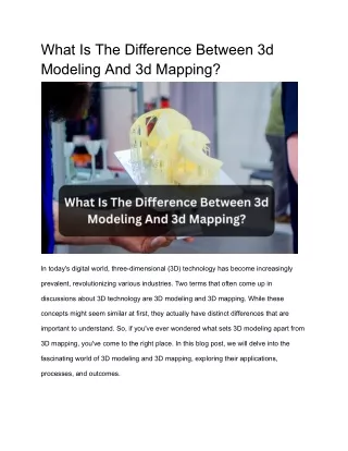
Railway development depends on reliable, updated information for effective execution. Rail inspections supported by 3D modeling and drone technology enable rapid assessment and detailed reporting. This approach increases operational safety and reduces manual intervention in high-risk areas. Advanced visual engineers captured by drones help to identify structural issues and plan maintenance. Read the full blog to know more.

E N D
Drone Mapping and 3D Modeling for Railway Infrastructure Planning Railways have long been the veins of progress, connecting cities, communities, and commerce. But planning, inspecting, and maintaining rail infrastructure is no small feat. Today, thanks to drone mapping and 3D modeling, that process has become faster, more accurate, and far less disruptive. At Birds Eye Aerial Drones (BEAD), we’ve seen firsthand how drone services are transforming the future of rail infrastructure planning in California and beyond. From high-resolution aerial mapping to real-time inspections of railway tracks, drones are doing the heavy lifting with unmatched precision. Why Drones Are the New Backbone of Railway Planning? Traditionalrail inspectionsrely on boots on ballast—manual inspections that are time- consuming, costly, and sometimes dangerous. With drone technology, we now offer: •Full-Corridor Mapping: Create large-scale, GIS-compatible maps using RTK-enabled orthomosaics.
•3D Modeling & Digital Twins: Model terrains, embankments, and rail geometry with centimeter-level accuracy. •Rapid Survey Turnaround: Reduce mapping project timelines by up to 60% compared to legacy ground-based methods. •Track-Level Inspections: Inspect difficult-to-reach segments without disrupting operations or risking worker safety. One rail infrastructure manager from aSouthern California Rail Projectput it best: “Working with BEAD has streamlined our planning process. The drone mapping was so detailed, we could visualize every pinch point, switch zone, and access issue—without ever setting foot on the tracks.” That kind of feedback fuels our mission. Because it’s not just about data—it’s about decisions made smarter, timelines cut in half, and lives made safer. Also Read:Revolutionizing Railway Construction Management with Drone Technology How It Works: Rail-Ready Mapping, From Sky to Screen?
Here’s a peek behind the curtain at our process: 1.Pre-Mission Planning: We obtain airspace clearance and coordinate with your field engineers to set the mapping parameters. 2.Flight & Capture: Using LiDAR drones and RTK GPS, we fly grid and linear mapping missions over the track route. 3.Post-Processing: Our GIS team processes the data into Ortho imagery, contour maps, and full 3D models. 4.Client Integration: Deliverables are handed off in formats that integrate directly with ESRI, AutoCAD Civil 3D, and BIM platforms. Whether you’re planning a new transit corridor or retrofitting legacy lines,drone mapping servicesare the ultimate tool in your railway toolbox. Beyond the Tracks: What’s in It for You
Working with BEAD means more than just getting the job done. It means: •50–70% faster project timelines •Sub-centimeter resolution for engineering-grade decisions •No boots on tracks, enhancing crew safety •Cloud-based delivery & secure data handoff •Support for PTC, electrification, and future-smart rail upgrades Ready to Reroute the Future? As infrastructure demands surge across the U.S.,drone mappingoffers railway planners the clarity, confidence, and competitive edge they need. And with strategic partners like BEAD at your side, your project is already on the right track. Let’s map your next milestone—safely, smartly, and in record time. birdseyeaerialdrones.com|info@beadllc.com