Download
1 / 35
350 likes | 454 Views
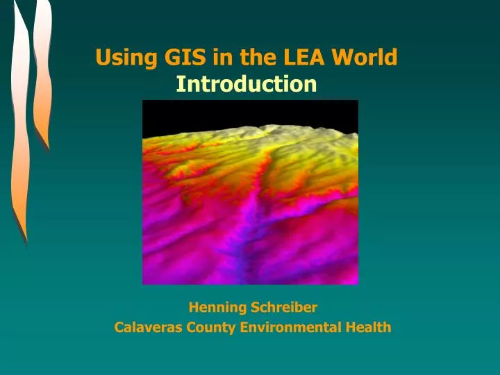
Using GIS in the LEA World Introduction. Henning Schreiber Calaveras County Environmental Health. Our agenda is tentative and, depending on the number of questions, we might move slower or faster. Part 1 – Introduction What is a Geographic Information System (GIS) Capturing Geographic Data

E N D
Using GIS in the LEA WorldIntroduction Henning Schreiber Calaveras County Environmental Health
Our agenda is tentative and, depending on the number of questions, we might move slower or faster. Part 1 – Introduction What is a Geographic Information System (GIS) Capturing Geographic Data Metadata Agenda Part 2.1 – How to work the system • Basics • Information access and visualization Part 2.2 – Using GIS Tools • Basic Tools • Geo-processing Tools • Creating new Datasets/Layers Part 2.3 – Extensions and external software Part 3 – GIS Applications
When is the time to ask questions? Whenever the question arises! Regarding Questions… America needs You rquestions
What is a Geographic Information System (GIS) The “Geographic” Component The “Information” Component The “System” That Combines Both Parts Creating A Basic Map In 20 Minutes Introduction
Introduction The oldest way to describe a spatial context… … is a map. World map by Herodot 450 BC A parcel map from ancient Rome
The early days of GIS … and TIME ! Using a map, a legend and color-coded pins…
What is a GIS? Geographic Information System
What is a GIS? Geographic Information System
The Geographic Component There are four different types of geographic data that can be stored in a GIS. Points one x and y coordinate
The Geographic Component There are four different types of geographic data that can be stored in a GIS. Points one x and y coordinate Lines straight line between two xy coordinates
The Geographic Component There are four different types of geographic data that can be stored in a GIS. Points one x and y coordinate Lines straight line between two xy coordinates Polygons lines between many xy coordinates, line closes
The Geographic Component There are four different types of geographic data that can be stored in a GIS. Points one x and y coordinate Lines straight line between two xy coordinates Polygons lines between many xy coordinates, line closes Raster many xy coordinates in rows and columns
The Geographic Component There are four different types of geographic data that can be stored in a GIS. Points one x and y coordinate In the GIS world these types of geographic data are called Feature classes, and one point or line or polygon is a geographic feature. Sometimes “shape file” or “layer” is used for describing a feature class Lines straight line between two xy coordinates Polygons lines between many xy coordinates, line closes Raster many xy coordinates in rows and columns
The Geographic Component Projections – what is that? “The Earth is a flat disk.” – Not really! • How to get the skin of a ball onto a flat piece of paper? • You have to stretch and bend it! • And the Math behind it is the projection!
The Geographic Component Projections – why bother? • ArcGIS 8.x and 9.x converts on the fly, ArcView 3.x does not!
The Geographic Component Projections – why bother? “The earth is a globe.” – not really either! • ArcGIS 8.x and 9.x converts on the fly, ArcView 3.x does not! • Projection conversions are approximate only.
The Geographic Component Projections – why bother? No projection can display true distances and true areas and true bearings! • ArcGIS 8.x and 9.x converts on the fly, ArcView 3.x does not! • Projection conversions are approximate only. • Projections define how the map looks like
The Geographic Component The accuracy determines at what scale you can present your data. Scale and Accuracy What accuracy and scale should I use? It depends… … on your project. Don’t display your county data on a world map. Don’t spend $$$$ on sub-meter accuracy when you only need a business location. Define your project, look into the future, then determine accuracy. Buildings in my County
What is a GIS? Geographic Information System
What is a GIS? Geographic Information System
The Information Component 80% of all information has a spatial reference! When we talk about gas prices…
The Information Component 80% of information has a spatial reference! When we talk about gas prices… When we talk about weather…
The Information Component 80% of information has a spatial reference! When we talk about gas prices… When we talk about weather… When we talk about solid waste…
The Information Component “Attributes” – the information tied to spatial references. Location: Rock Creek Landfill • Attributes: • Name • Location • Class • Volume • Waste Type #1, #2, … • # employees • # door knobs • …..
The Information Component What kind of information do I need and what would be the appropriate feature class? … again, it depends on scope and scale of the project • Regarding landfills: • If you want to show where they are or how to route trucks – a point feature class is sufficient. • If you need to show the landfill boundaries, calculate area, volume etc. – a polygon feature is appropriate, and a higher accuracy too. • If you want to delineate drainage lines – use a line feature class.
What is a GIS? Geographic Information System
What is a GIS? Geographic Information System
The System Component GIS links spatial information (location) with descriptive information (attributes)and createsa map (layer) Location: Attributes:
In GIS you can overlay these layers. For any point on these layers all information stored as attributes is available. With the selected layers GIS creates a map specific to each project. A map consists of several layers The System Component
A map consists of several layers Main Rivers The System Component • Solid Waste Sites • Main Roads • Main Lakes • Image
A map consists of several layers Main Rivers The System Component • Solid Waste Sites • Main Roads • Main Lakes • Image
The System Component Information Visualization Symbology The tab “Symbology” in the Layer Properties provide various ways to symbolize according to the information displayed.
The System Component Information Visualization Labeling • Select the “label” tab under Layer Properties • Labeling is one of the more difficult tasks while creating a map.
Demo How to create a map!