Download
1 / 20
200 likes | 292 Views
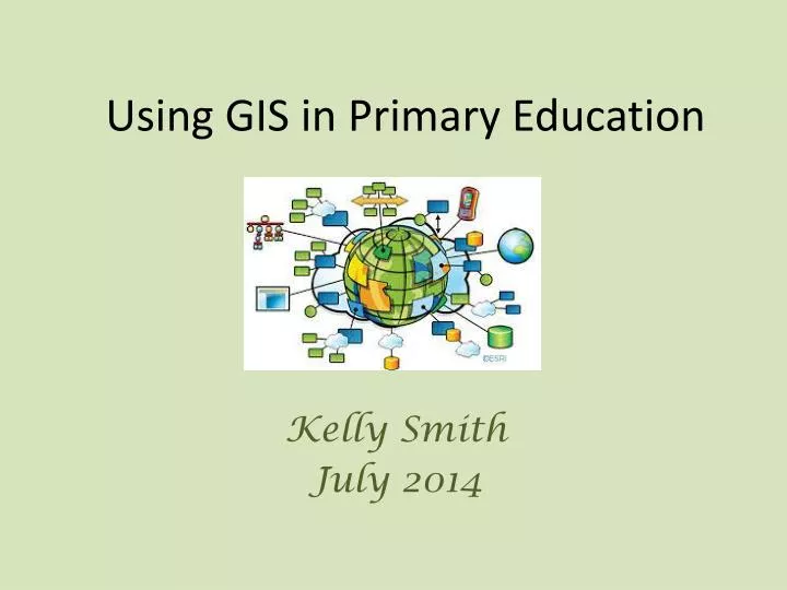
Using GIS in Primary Education. Kelly Smith July 2014. G I S. eographic. nformation. ystems. What is GIS?. Geographical Information Systems (GIS) are all around us! They are information systems where data is captured, stored, managed, presented and referenced on a map.

E N D
Using GIS in Primary Education Kelly Smith July 2014
G I S eographic nformation ystems
What is GIS? • Geographical Information Systems (GIS) are all around us! They are information systems where data is captured, stored, managed, presented and referenced on a map. • IN OTHER WORDS, It’s how: • The takeaway you ordered reaches the correct address, • The closest ambulance finds the quickest route to an accident, • A utilities worker knows where to dig so that they get to the right pipe and don’t damage the wrong one! • An engineering company might find the best location for a wind farm by combining factors such as wind speed and direction on a map, • Police use data to find out the areas that have a particular type of crime problem, • Planners and Architects design new developments for your local area. Can you think of other ways people might use a GIS system? Multi-agency approach
Where does it fit in? Geography Computing • Aims • The national curriculum for geography aims to ensure that all pupils: • develop contextual knowledge of the location of places, seas and oceans, including their defining physical and human characteristics • understand the processes that give rise to key physical and human geographical features of the world, how these are interdependent and how they bring about spatial variation and change over time • are competent in the geographical skills needed to: • collect, analyse and communicate with a range of data gathered through experiences of fieldwork that deepen their understanding of geographical processes • interpret a range of sources of geographical information, including maps, diagrams, globes, aerial photographs and Geographical Information Systems (GIS) • communicate geographical information in a variety of ways, including through maps and writing at length.
Where does it fit in? Geography Computing • Key stage 1 • Pupils should be taught to: • understand what algorithms are; how they are implemented as programs on digital devices; and that programs execute by following precise and unambiguous instructions • create and debug simple programs • use logical reasoning to predict the behaviour of simple programs • use technology purposefully to create, organise, store, manipulate and retrieve digital content • use technology safely and respectfully, keeping personal information private; know where to go for help and support when they have concerns about material on the internet • recognise common uses of information technology beyond school.
Where does it fit in? Geography Computing • Key stage 2 • Pupils should be taught to: • design, write and debug programs that accomplish specific goals, including controlling or simulating physical systems; solve problems by decomposing them into smaller parts • use sequence, selection, and repetition in programs; work with variables and various forms of input and output • use logical reasoning to explain how some simple algorithms work and to detect and correct errors in algorithms and programs • understand computer networks including the internet; how they can provide multiple services, such as the world-wide web; and the opportunities they offer for communication and collaboration • use search technologies effectively, appreciate how results are selected and ranked, and be discerning in evaluating digital content • use technology safely, respectfully and responsibly; know a range of ways to report concerns and inappropriate behaviour • select, use and combine a variety of software (including internet services) on a range of digital devices to accomplish given goals, including collecting, analysing, evaluating and presenting data and information.
What features should you look for in software that children will be used to create digital maps? Ideally such software should have: - the capacity to drag & drop symbols onto the map - paint/drawing tools - the ability to lock an outline map to the background and then build up the map image in layers - hyperlinking from the map to another page, file or text-box
Create a simple map using powerpoint You can create ‘hotspots’ in powerpoint that can be moved around the map to the correct or preferred positions in ‘edit’ mode and activated in ‘slideshow’ mode. These ‘hotspots’ can open up text boxes on the same slide or jump you to other slides containing images and descriptions. 3 1 2 4 In ‘slideshow’ mode, click on the red spot or camera. Click on the spot again to close the text box.
Freely available Maps and data Google maps Google Earth Microsoft ‘Virtual Earth’ Ordnance Survey Visit http://www.ordnancesurvey.co.uk/opendata/viewer/index.html
Available to buy if more detail needed AEGIS3 – www.advisory-unit.org.uk Local Studies – www.soft-teach.co.uk InfoMapper – www.infomapper.com Digital Worlds GIS 2 – www.digitalworlds.co.uk
Potential Uses for GIS • Local area studies • Global Perspective • Geography • Fairtrade • Linking to Science - Linking to History
'to learn with and to learn about GIS' National Curriculum KS3
3. St Margaret’s Cave Queen Margaret came here to pray over 900 years ago. Dunfermline Abbey The Abbey Church is the centrepiece of Dunfermline, one of the oldest settlements in Scotland and once its proud capital. 3 1 2 4 4. Andrew Carnegie Birthplace Museum The tiny weavers cottage where the philanthropist was born. 2. Pittencrieff Park (The Glen) Bought for the people of the town by Andrew Carnegie
3 1 2 4 Dunfermline Abbey and Palace. Former residence of Scottish Kings and Queens.