Download
1 / 11
110 likes | 203 Views
Accelerated Feature Extraction Specialists. Boston Operations-Paragon. Montana Operations- VLS. Location: Woburn, MA Employees 10 Products ELT Series Key Competencies Image Processing Image Exploitation. Location: Missoula, MT Employees 25 Products Feature Analyst LIDAR Analyst

E N D
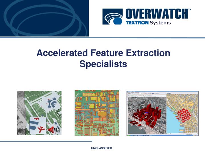
Accelerated Feature Extraction Specialists
Boston Operations-Paragon Montana Operations- VLS Location: Woburn, MA Employees 10 Products ELT Series Key Competencies Image Processing Image Exploitation Location: Missoula, MT Employees 25 Products Feature Analyst LIDAR Analyst Key Competencies Feature Extraction LIDAR Processing Machine Learning TEXTRON SYSTEMS Sterling Operations- IT Spatial And Sensor Systems Location: Sterling, VA Employees 50 Products RemoteView Urban Analyst InterSCOPE Key Competencies Image Processing Photogrammetry Image Exploitation 3D Exploitation GIS Tactical Operations- Austin Information Systems Location: Austin, TX Employees 300 Major Programs ASAS-LT, FCS Products Axis Pro Scout Medina Wireless Key Competencies Multi-INT SW Solutions VLS Now Part of Overwatch US Operations • $100M in Revenue • 375 Employees • Cleared Personnel • Classified Processing Facilities Textron Defense Systems Wilmington, MA PROPRIETARY INFORMATION
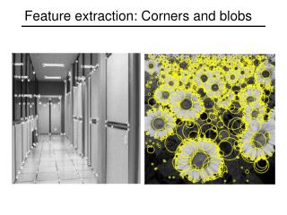
LIDAR and the state of A.F.E • Until recently: Large scale bare-earth models could be only created from stereo imagery. • Low resolution and needed a lot of user interaction. • LIDAR: Possible to extract high resolution bare-earth DEM as well as 3D features accurately and quickly. PROPRIETARY INFORMATION
Squeezing the most out of LIDAR • Bottlenecks during generation of high quality feature databases from LIDAR: • Registration, extraction and attribution – all of which are labor intensive and time consuming • Lack of tools for extraction and attribution • User is expected to have a great deal of knowledge about their data as well as LIDAR technology • Need for a tool that can automatically extract features from the LIDAR data and attribute it accurately and quickly • LIDAR Analyst bridges these gaps! Eliminate production bottlenecks! PROPRIETARY INFORMATION
Lidar Analyst 4.2 • LIDAR Analyst is a 3D extraction solution for collecting features and generating raster and vector data from airborne LIDAR. • Simplifies the process of extracting bare earth, buildings, and trees/forests features. • Provides tools for advanced modification and analysis • Supporting - Defense - Academia - Environmental Organizations - GIS related industries PROPRIETARY INFORMATION
Key Features • Ability to work with Point Clouds, ASCII, Shapefiles, and DEM Raster Data. • Ability to convert ASCII/ Text and Shapefiles to .LAS format • Ability to quickly generate and modify DEM’s (bare-earth) • Process data in a variety of map units • Ability to collect buildings, trees and forest • Classify LAS data • Generate variety of analysis layers • Extract multi-component and complex building features • Advanced building edit tools • Plugin for ArcGIS or ERDAS Imagine software and soon Remote View PROPRIETARY INFORMATION
LiDAR Data Specifications Requirements • 1 meter postings • Data should be clean with no noise • Unfiltered, containing all returns, ground, buildings and trees • Point Clouds in .LAS format or ASCII w/ attributes • Last return is required- First and Last Return allows better accuracy PROPRIETARY INFORMATION
Extraction speed PROPRIETARY INFORMATION
LA and UA are Extending GIS PROPRIETARY INFORMATION
Analyze • Measurement tool suite • Line-of-Sight Tool Suite • Blast Radius Tool • GIS Query Integration • Basic Routing/Path Tools • Sensor Placement • Manage Assets and Resources • Interfaces to existing analytical models such as: • HAZUS MH (multi-hazard) • HPAC (Dispersion) • CPST (RF Propagation) • AXIS (HUMINT) PROPRIETARY INFORMATION
Contact Overwatch For more information please contact: Stop by booth 310 for more information Sales Sales@vls-inc.com 406-829-1384 Free trial software is available at www.featureanalyst.com PROPRIETARY INFORMATION