Download
1 / 10
120 likes | 197 Views
GIS Lab. Measuring Distance in Google Earth. What We are Doing T oday. What is GIS? Google Earth Measuring Distance. What is a GIS??. Geographic Information + System = Geographic Information System. What is Geographic Information?.

E N D
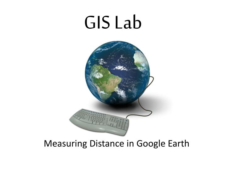
GIS Lab Measuring Distance in Google Earth
What We are Doing Today • What is GIS? • Google Earth • Measuring Distance
What is a GIS?? Geographic Information + System = Geographic Information System
What is Geographic Information? • Information including place/location about things on the surface of the earth • What kind of information is on a map • Rivers • Roads • Cities/towns • Other . . . . ??
Organization and Layers A map overlay is a layer of geographic information
Systems to Organize Geographical Information • Manual Systems • Maps and transparencies • Digital (computer) Systems • Google Earth • ESRI ArcMap
Elements of a Map – Google Earth • Scale – bottom left • Menu “View->Scale legend” • North – the compass rose is top right • you can change this by click and drag • Legend – Places or Layers on the left • click on triangles to expand and see the legend • Sources – bottom center • Title – “Google Earth”
Adding Layers • Go to http://scwibles.ucsc.edu/SCWIBLESModules/Norris_ContourWhat.html • Download (right click) “Watsonville.kmz” and choose “save link as” from the menu, navigate to the desktop and click ‘OK’ • From the file menu in Google earth open “Watsonville.kmz” from the Desktop • It will appear in the “Temporary Places” on the left
Contour Review Which direction does the river flow? • Where is the river? • Which direction does the river flow? http://www.cibolasar.org/minilessons/nav_lesson/USMC_mapfigs.jpg
Measuring Distance in Google Earth • How long is the longest river • Click the “ruler tool” and then click the “Path” tab on the new window • move the cursor (white box) to the end of the river • Click to add points, note the length is being measured • Choose what units to measure in The ruler tool