Download
1 / 30
340 likes | 982 Views
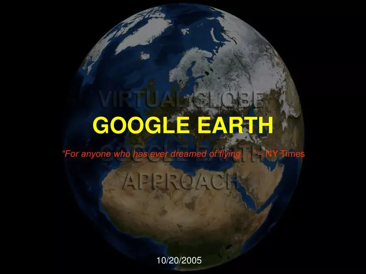
GOOGLE EARTH “For anyone who has ever dreamed of flying….” – NY Times The most popular virtual globe. Developed by Keyhole, Inc. named as Earth Viewer Bought by Google and renamed as Google Earth in 2005

E N D
GOOGLE EARTH “For anyone who has ever dreamed of flying….” – NY Times
The most popular virtual globe. Developed by Keyhole, Inc. named as Earth Viewer Bought by Google and renamed as Google Earth in 2005 uses broadband streaming technology and 3-D graphics to enable users to interactively explore the entire world GOOGLE EARTH - INTRODUCTION
3D buildings in major cities across the World 3D terrain showing mountains, valleys, and canyons around the world Integrated Google Local search to find local information such as hotels, restaurants, schools, parks, and transportation Fast, dynamic navigation Video playback of driving directions Tilt, rotate, and activate 3D terrain and buildings for a different perspective on a location Easy creation and sharing of annotations among users using KML (Keyhole Mapping Language) GOOGLE EARTH - FEATURES
Baseline resolutions U.S.: 15 m Global: Generally 15 m (some areas such as certain oceanic islands are in extremely low resolution) Typical high resolutions U.S.: 1 m, 0.6 m, 0.3 m, 0.15 m (extremely rare; e.g. Cambridge, Ma.) Altitude resolution: Surface: Seabed: Not applicable (the seabed is "printed" on the spherical surface). Age: Usually less than 3 years old. GOOGLE EARTH - Specifications
Getting things done with Google Earth…. The Technical Aspect
Three-dimensional geospatial data are managed in Google Earth using KML (Keyhole Markup Language) KML files are often distributed as KMZ, zipped KML files The KML file specifies a feature (a place mark, image, or polygon) for Google Earth It contains a basic description of the place, longitude, latitude, tilt and other information Getting things done with Google Earth
Getting things done with Google Earth <?xml version="1.0" encoding="UTF-8"?> <kml xmlns="http://earth.google.com/kml/2.0"> <Placemark> <name>The Pentagon</name> <LookAt> <longitude>-77.05580139178142</longitude> <latitude>38.870832443487</latitude> <range>742.0552506670548</range> <tilt>48.09646074797388</tilt> <heading>59.88865561738225</heading> </LookAt> <Polygon> <extrude>1</extrude> <altitudeMode>relativeToGround</altitudeMode> <outerBoundaryIs> <LinearRing> <coordinates> -77.05788457660967,38.87253259892824,100 -77.05465973756702,38.87291016281703,100 -77.05315536854791,38.87053267794386,100 -77.05552622493516,38.868757801256,100 -77.05844056290393,38.86996206506943,100 -77.05788457660967,38.87253259892824,100 </coordinates> </LinearRing> </outerBoundaryIs> <innerBoundaryIs> <LinearRing> <coordinates> -77.05668055019126,38.87154239798456,100 -77.05542625960818,38.87167890344077,100 -77.05485125901024,38.87076535397792,100 -77.05577677433152,38.87008686581446,100 -77.05691162017543,38.87054446963351,100 -77.05668055019126,38.87154239798456,100 </coordinates> </LinearRing> </innerBoundaryIs> </Polygon> </Placemark> </kml> An example to create pentagon polygon using KML
It’s an approach “a way of thinking about the architecture of web applications using certain technologies”. Ajax isn’t something you can download. “Asynchronous JavaScript +CSS + DOM +XMLHttpRequest” AJAX TECHNOLOGY
Standards-based presentation using XHTML and CSS (Cascading Style Sheets (CSS) is a simple mechanism for adding style (e.g. fonts, colors, spacing) to Web documents) Dynamic display and interaction using the DOM Document Object Model (The XML Document Object Model (XML DOM) defines a standard way for accessing and manipulating XML documents) Data interchange and manipulation using XML and XSL Transformations XSL (Extensible Style Sheet language) which is a language for transforming XML documents into other XML documents Asynchronous data retrieval using XMLHttpRequest; XMLHttpRequest is the technical component that makes the asynchronous server communication possible; And JavaScript binding everything together. Ajax incorporates:
Example of AJAX NY seeGoogle Maps with NYC Live Traffic Cams, Yahoo Traffic News and A9 Blockview Photos. AJAX gone wild, gotta love it. The traffic cams are not video, a more accurate description would be live streaming images (some refresh faster than others). http://www.alkemis.com/default.asp?pID=laboratory
The answer is certainly not. They cannot be compared in this sense. Google Earth focuses on presenting data rather than analyzing and processing. The best approach will be to analyze data in Arc GIS and present them using Google Earth. Will Google Earth replace Arc GIS?
Will Google Earth replace Arc GIS? Analysis of data
Will Google Earth replace Arc GIS? Presentation of data
Will Google Earth replace Arc GIS? Analysis of data
Will Google Earth replace Arc GIS? Presentation of data
Combines real-world imaging with the usefulness of a traditional road map by letting people see aerial photos with an overlay of road networks and point-of-interest information Uses Wi-Fi access points or Internet Protocol address geocoding to determine a person’s location Provides users with a simple way to compile search results that can be e-mailed, copied into a document or even added to a weblog on MSN Spaces Can be bookmarked, e-mailed to a friend or copied into a clipboard using Permalink Users can query information in broad, flexible ways using “Yellow Page Directories” feature. MS Virtual Earth
World Wind allows any user to zoom from satellite altitude into any place on Earth It has a full copy of the Blue Marble, a spectacular true-color image of the entire Earth as seen on NASA's Earth Observatory: the Blue Marble Can display a dramatic view of the Earth at eye level. Can take animations and play them directly on the world Is capable of browsing through and displaying GLOBE data based on any time the user wants Has a complete set of borders that traces every country and state Has a full catalog of countries, capitals, counties, cities, towns, and even historical references Has a variety of visual guides that help the user's experience such as latitude and longitude lines, as well as extremely precise coordinate data Has the capability to display actual 3d models of landmarks on the earth NASA World Wind
Comparison • Google Earth, Virtual Earth and World Wind are not entirely comparable, due to significantly different focuses and development history/philosophies • Though Google Earth is not a totally free and open source software (as is NASA World Wind), it is easier to use and also offers wide varieties of features. • Unlike any virtual globe, Google Earth provides data manipulation features and it allows users to access its API’s • Google Earth is popular among the masses so data presentation can be done easily and effectively.
Conclusion • ~12 Million Google Earth downloads. • 164,467 total registered users • 102 registered online • 1683 unregistered online The above figure (unofficial) shows the popularity of Google Earth. In general Google Earth is involving people into the field of GIS. At present Google Earth is used extensively by media for news coverage and other things. It is gaining equal importance among other fields aswell. Arc GIS users and other GIS professionals can use Google Earth for more better and effective performance.