Download
1 / 10
100 likes | 228 Views
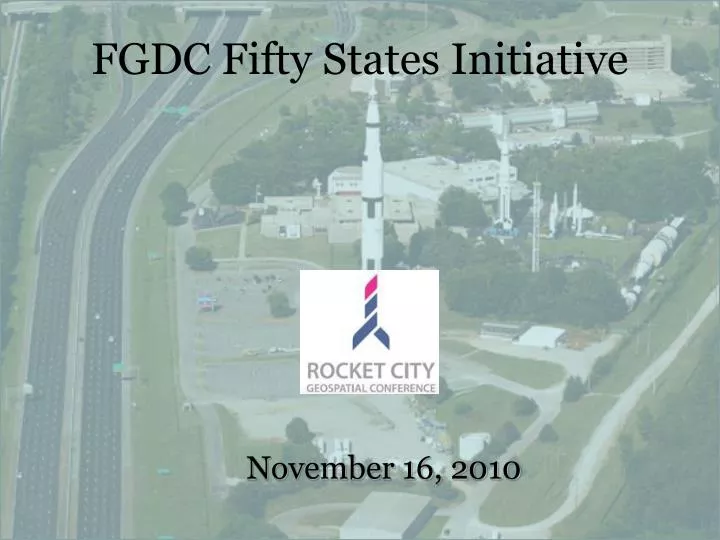
FGDC Fifty States Initiative. November 16, 2010. Federal Geographic Data Committee (FGDC) Fifty States Initiative. USGS Cooperative Agreement Partnership (CAP) Category 3 Strategic Plan Development Alabama GIS Advisory Committee Oversight and Direction

E N D
FGDC Fifty States Initiative November 16, 2010
Federal Geographic Data Committee (FGDC) Fifty States Initiative • USGS Cooperative Agreement Partnership (CAP) • Category 3 Strategic Plan Development • Alabama GIS Advisory Committee • Oversight and Direction • Alabama Department of Economic and Community Affairs (ADECA) • Contract Management and Project Support
State Strategic and Business Planning under the Fifty States Initiative (2006-2010)
Fifty States Synopsis In support of the NSDI and the objectives of the Fifty States Initiative Action Plan, Projects in Category 3 will: • Develop and implement statewide strategic plans • Facilitate the coordination of programs, policies, technologies, and resources that enable the coordination, collection, documentation, discovery, distribution, exchange and maintenance of geospatial information in support of the NSDI…
NSDI Goal: Cross-Governmental Data Sharing • NSDI Framework Layers • Geodetic Control • Cadastral (parcels) • Political Boundaries • Hydrography • Imagery (Orthos) • Elevation • Transportation (e.g., Roads, Air, Rail, Transit, Inland waterways, etc.) • … and Structures “Supply Chain” View Applied Geographics, Inc. 2010
Jefferson County Alabama GIS: Statewide Spatial Data Infrastructure (AL-SSDI) SSDI SC SSDI FL Montgomery County Madison County Tuscaloosa County Statewide Spatial Data Infrastructures & NSDI NSDI 50 States Initiative Data sharing between levels of government • Who has authoritative data? • What data is most needed? • How are gaps covered? City of Birmingham Applied Geographics, Inc. 2010
Applying the NSGIC Guidelines Applied Geographics, Inc. 2010 Strategic and Business Plans are ‘living’ documents (i.e., planning is a process, and plans should evolve to account for changing conditions) Case studies of actual experiences can help make the business case (especially if quantifiable, but also if they tell a meaningful story) We’re going to build on what you’ve already done (i.e. leverage your existing GIS Strategic Plan)
NSGIC Strategic Planning Process Map Strategic Planning Process Applied Geographics, Inc. 2010
Workshop Locations Huntsville Birmingham Montgomery Dothan Foley Applied Geographics, Inc. 2010