Download
1 / 20
200 likes | 349 Views
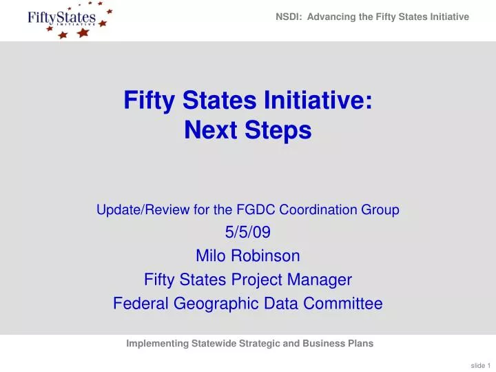
Fifty States Initiative: Next Steps. Update/Review for the FGDC Coordination Group 5/5/09 Milo Robinson Fifty States Project Manager Federal Geographic Data Committee. Outline. Federal Stakeholder Workshop (2/3) NSGIC Mid-Year Kick-Off Workshop for Class of 2009 (2/22)

E N D
Fifty States Initiative:Next Steps Update/Review for the FGDC Coordination Group 5/5/09 Milo Robinson Fifty States Project Manager Federal Geographic Data Committee
Outline • Federal Stakeholder Workshop (2/3) • NSGIC Mid-Year Kick-Off Workshop for Class of 2009 (2/22) • Revised Guidelines (templates) for Strategic and Business Plans • Report from Danielle Ayan on GA’s Effort
Federal Stakeholders Workshop • Positive evaluation (4.3 of 5) • Strengths • Interactive, accommodating comments and recording • Knowledgeable participants, experienced with program • Good case studies of California and New York • Good dialog – important points raised • Improvements • More examples • Need to hear more from the states
What would be the one thing that might help advance the Fifty States Initiative? • Consistency with template • Develop strong regional councils • Follow-on grants to ensure implementation • Focus on specific initiatives (like parcels) • Educate and communicate with Feds
What we heard at the Federal Stakeholder Workshop… • Leverage Federal grant giving and attach “strings” to grants (e.g. minimum required plan components) • Consider both HQ-based and regional Federal perspectives • Giving something back to partners is the basis of a good partnership • Census example (e.g. Boundaries and Annexation Survey) • USGS The National Map: Urban Area Imagery; Geographic names • HSIP Freedom • Evaluate how partnerships are working from multiple perspectives (360 viewpoint)
What we heard at the Federal Stakeholder Workshop… • Think beyond the 7 Framework data sets for “data of national significance” and build “communities of interest” • Recognize limitations of state “self evaluation” for performance measurement • What comes after all Strategic Plans are done? • Seed money for implementation of recommendations • Prioritize funding to those that are making progress • Can other Fed agencies participate in supporting CAP • Identify states that have common interests in a theme • Continue the Fifty States Initiative
WA OR MI DE VA KY AZ AR 50 States: Class of 2009
Arizona AGIC Strategic and Business Plan Project • Strategic Plan: the strategic plan will identify a vision for improved access to geospatial data, the organization required for future statewide coordination to meet state geospatial data and technology needs and support the NSDI. • Business Plan: the business plan will define how objectives will be achieved along with justification for doing them. The business plan will identify partnership opportunities to establish and maintain an Arizona Geospatial Clearinghouse. • Revising AGIC E.O. 2004-19 or establish AGIC in Legislation • Adopting State Geospatial Policies Eugene Trobia, State Cartographer Kevin Blake, AGIC President 2009 Tom Sturm, USGS Geospatial Liaison for AZ & NV AZ
Arkansas Framework Data Development Sustainable Funding Plan • Develop a strategic business plan for the development and maintenance of statewide framework GIS data in Arkansas. The project will involve stakeholder input from all corners of the state. The final deliverable will be a written business plan to assist the Arkansas State Land Information Board and the Arkansas Geographic Information Office in meeting its legislative mandate to develop a coordinated GIS for the State. Learon Dalby, AR Geographic Information Office Bill Sneed, USGS Geospatial Liaison for Arkansas AR
Delaware Delaware Geospatial Data Coordination Strategic Planning • The Delaware Geographic Data Committee (DGDC) will create a strategic plan, and appropriate business plans based on that strategic plan, to coordinate the continued collection of Delaware Spatial Data Framework Layers and the use and sharing of these and other geospatial data in Delaware. The project will also examine integration of Delaware data with national-level geospatial data and data from neighboring states. • A draft strategic plan will be drafted for consideration by the Steering Committee, the full DGDC, and finally the DGDC Executive Council. • Following Executive Council approval of that plan, business plans to manage the maintenance of the state spatial data infrastructure. • The State SDI will enable Delaware’s support for the development of a National Spatial Data Infrastructure (NSDI). Michael Mahaffie, Delaware Office of Management & BudgetKim Cloud, Dept of Technology & Information DE
Kentucky Commonwealth of Kentucky Geospatial Strategic Plan • Kentucky Division of Geographic Information (DGI) will work with the Kentucky Geographic Information Advisory Council (GIAC) membership to develop the Geospatial Strategic Plan for the Commonwealth. • The planning process will evaluate the business needs of all stakeholders, identify opportunities for consolidation of resources and services, and open the flow of geospatial information between agencies. • Additionally, the Enterprise Architecture Standards that relate to GIS Software and Hardware will be reviewed for currency and applicability within today’s information technology environment. Collectively, the process will yield recommendations that will improve the support of GIS initiatives for all member organizations. Kim Anness, Division of Geographic Information Kent Anness, Division of Geographic Information Bruce Bauch, USGS Geospatial Liaison for KY & TN KY
Michigan Creating a Statewide Geospatial Business Plan • With full support of the Michigan State CIO and Center for Shared Solutions and Technology Partnerships (CSSTP), the Local and State Cross Boundary Technology Steering Committee will collaborate with existing geospatial communities to develop a geospatial business plan by: • engaging the support of key state-wide professional associations; • holding a series of independently facilitated stakeholder listening sessions across Michigan; • integrating results to develop win-win ‘local-scale’ solutions completion of the orthoimagery, elevation, transportation, hydrography, and cadastral themes. • This geospatial business plan will use, as a foundation, the goals outlined in the 2008 Michigan IT Strategic Plan. Paul Harmon, MI Technology Partnerships Bill Rowe, Marquette County, IMAGIN Rep Jeroen Wagendorp, Grand Valley St. Univ., MiCAMP Rep Steve Aichele, USGS Geospatial Liaison for Oregon MI
Oregon Oregon Statewide Strategy for Geographic Information Management • Produce a refreshed strategic plan for geographic information management and coordination for Oregon. Previous plan created in 2001, prior to the Fifty States Initiative. A detailed business plan was developed last year for the Oregon program, called navigatOR … but no documentation of the strategy behind that business plan has been produced. • Six facilitated meetings will be conducted • …refreshing and revising our collaborative strategic plan for navigatOR. • ~ ten GIS and accounting professionals from around the country will develop an accounting mechanism to track the accrual of benefits from coordinated development of GIS. Cy Smith, State of Oregon Ed Arabas, State of Oregon OR
Virginia Commonwealth of Virginia Five Year GIS Strategic Plan Development • Virginia Geographic Information Network (VGIN) will develop a five year strategic plan that will focus on three areas: • completion of all framework data layers including sustainability plans; • identification, prioritization and planning for the development of the most commonly needed geospatial services (e.g. web and geoprocessing services); • maturity modeling for the Geospatial Enterprise Platform data repository as the “go to” location for Virginia GIS data. • VGIN is tightly coupled organizationally with the state E911 coordinating body through the Integrated Services Program of the Virginia Information Technologies Agency. This partnership provides unique opportunities to meet the overlapping business needs of GIS and public safety. Daniel Widner, Coordinator, Virginia Geographic Information NetworkStuart Blankenship, Geospatial Projects ManagerDiane Eldridge, USGS Geospatial Liaison for Virginia VA
Washington Update the Washington GIS Strategic Plan & Build a Business Plan for Tracking Progress and Results in Washington • Updating the Washington’s GIS Strategic Plan and building a business plan for framework data that will help guide and track results in Washington. • Updating the existing GIS Strategic Plan to reflect current business needs in Washington and the Fifty States Initiative Action Plan • Developing and building a comprehensive business plan to implement the strategic plan. • Enhance and expand a network of partnerships among GIS practitioners and the Information Services Board Geographic Information Technology Committee (ISB-GIT). Joy Paulus, Washington State Department of Information ServicesScott Van Hoff, USGS Geospatial Liaison for ID & WA WA
Guidance to Class of 2009 • Should use the templates guidelines • Guidelines are effective tools • Guidelines have Flexibility • Mandatory elements identified • Level of commonality • Plans can be better compared and contrasted • Summary information can be assembled • Federal stakeholders see value • Draft Version of Strategic Plan Guidelines • Review and Comment by Coordination Group • Will finalize in May
Kick-off Workshop • Positive evaluation (4.1 of 5) • Strengths • State mini case studies • Discussion was constructive • Strong presenters • Presentations by ’09 grant recipients • Improvements • Timing, Stick to schedule • Offer handouts of slides
What would be “one more thing” that might help advance your planning initiative in support of NSDI? • Seeing more coordination between federal partners who use NSDI • Additional $$$ • Detailed funding models that work • Concise handouts for policy people • Present metrics that demonstrate value of Strategic Planning
Next Steps for 50 States • Improved Templates for Class of 2009 • With Mandatory elements • Keep you informed • Additional presentations by States at Coordination Group • Suggestions? • Next Steps • Assessment • Scoping out CAP 2010 • Report Recommendations
Milo Robinson Federal Geographic Data Committee mrobinson@usgs.gov 703.648.5162