Download
1 / 6
60 likes | 188 Views
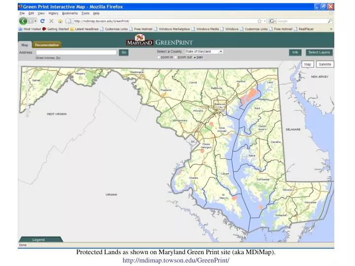
Protected Lands as shown on Maryland Green Print site (aka MDiMap). http://mdimap.towson.edu/GreenPrint/. FCA Easements received from Carroll and Howard Counties. All Protected Lands Layers. FCA Easements against MDiMap base map.

E N D
Protected Lands as shown on Maryland Green Print site (aka MDiMap). http://mdimap.towson.edu/GreenPrint/
American National Standards Institute codes (ANSI codes) have replaced the Federal Information Processing Standards (FIPS) codes. However, the previous FIPS code designations are incorporated into the ANSI system. More information on ANSI codes are available at http://www.census.gov/geo/www/ansi/ansi.html.
Location for downloading template and slides ftp://dnrftp.dnr.state.md.us/Public/Outgoing/CCWS/ForestConservationEasements/template/

![[Insert Your Interpretation of the Title for this Presentation as Shown in the Agenda]](https://cdn4.slideserve.com/849609/slide1-dt.jpg)