Download
1 / 9
90 likes | 232 Views
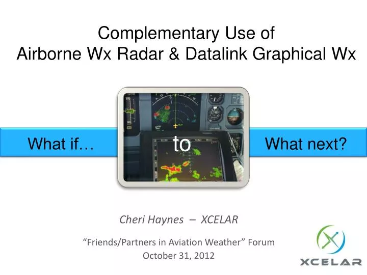
Complementary Use of Airborne Wx Radar & Datalink Graphical Wx. to. What if…. What next?. Cheri Haynes – XCELAR “ Friends/Partners in Aviation Weather ” Forum October 31, 2012. “ What if… ” to “ What next? ”.

E N D
Complementary Use of Airborne Wx Radar & Datalink Graphical Wx to What if… What next? Cheri Haynes – XCELAR “Friends/Partners in Aviation Weather” Forum October 31, 2012
“What if…” to “What next?” Today there are multiple options for delivery, display, content, providers, avionics, installation, and operational approval In moving from the “What if…” to the “What next?” stage, we have the advantage of operational experienceto help shape ideas, safety assessments, and training requirements
Building on Progress to Date • Wealth of operational experience to use in exploring safe expansion to better utilize and benefit from datalink weather; • Some examples are: • Relationship between systems • Complementary systems • Datalink weather as backup for onboard • Improve safety and operational efficiency • Better business cases? Forward thinking needs to view Wx Datalink and other, onboard weather systems as complementarycapabilities, not as separate systems • Explore potential beneficial uses of all flight deck weather sources as integrated capabilities • This will help drive R&D, Business Case development, and regulatory thinking Example: Complementary Weather Radar Operations
Baseline Datalink NEXRAD Use - Strategic Reroutes (Part 121) 1. Normally Planned Route PHL DEN 3. Actual Route Flown with EFB WX Info 2. Planned Re-Route Due to WX Major airline, DEN-PHL planned at 3:45 (normally 3:15) and actual time flown was 3:20, saving 25 minutes and 2,100 lbs. of fuel
Weather Radar MEL Relief (Part 121) • Currently operational onboard weather radar is required, except under very limited forecast conditions • These Minimum Equipment List (MEL) requirements can limit operations, induce cancellations, and affect schedule integrity when equipment fails • Weather radar MEL impacts vary widely with season and daily forecast conditions, adding uncertainty to the equation • Increasing the range of conditions where radar-INOP aircraft could safely be operated would improve: • Carrier efficiency • Schedule reliability • Passenger Value of Time (PVT)
Alternative Weather Radar Operations Side-by-side operational experience with onboard radar and datalink NEXRAD over time – with training – will develop understanding by crews of how… – systemscan be complementary – Use datalink-supplied NEXRAD for MEL relief in certain situations -? • Increase dispatch latitude for onboard radar-INOPconditions • Integral training component as part of carrier’s AQP-measured competencies • Incremental approach
Considerations • Developing history-based plans, training criteria, and simulations • Full POI Op Spec acceptance of end-to-end datalink NEXRAD capability via EFB • Latency, provider reliability, clarity of data latency display • Must address the safety concerns expressed in NTSB Safety Alert on In-Cockpit NEXRAD Mosaic Imagery • Training is a key component for success • Resolution: differences between sources • Does Dispatch have / need the same picture? (same can be said of RADAR) • Approval of MEL relief for NEXRAD-assisted operations
Future Steps • Will future ADS-B (or other link) air-air data relay allow trailing aircraft to view lead aircraft’s onboard radar display, and further the MEL mitigation latitude? • Could future NEXRAD products be used to complement onboard radar for enhanced turbulence warning/avoidance? • Utilize/segregate aircraft passenger Wi-Fi as a conduit for WX information into the Flight Deck • Reduce aircraft Out of Service and required maintenance checks by avoiding severe turbulence • Remove the subjectivity of Light, Moderate or Severe Turbulence via measurement • Simple process changes have the potential to reduce Flight Attendant injuries and reduce passenger injury liability
Cheri Haynes Program Director XCELAR 6300 34th Ave. S. Minneapolis, MN 55450 612-727-1449 888-4-XCELAR www.xcelar.com