Download
1 / 14
160 likes | 298 Views
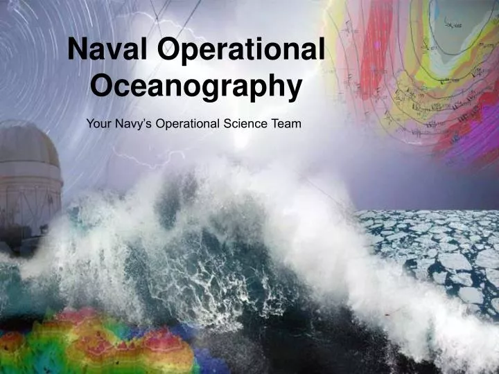
Your Navy’s Operational Science Team. Naval Operational Oceanography. UNCLASSIFIED. An opening thought ….

E N D
Your Navy’s Operational Science Team Naval Operational Oceanography UNCLASSIFIED
An opening thought … “ Our planet is invested with two great oceans; one visible, the other invisible; one underfoot, the other overhead; one entirely envelopes it, the other covers about two thirds of its surface. ” Matthew F. Maury (1855) The Physical Geography of the Seas and Its Meteorology
Aligned to our Navy’s Mission • Protect and defend America on the world’s oceans. • Deployed around the world, around the clock. • Ready to defend America at all times. Warfighting First - Operate Forward - Be Ready!
The Challenges of Today Warfare Effectiveness
The Challenges of Today Safety
The Challenges of Today Crisis Response
Naval Oceanography Core Disciplines We love math and physics! PHYSICAL OCEANOGRAPHY HYDROGRAPHY BATHYMETRY GEOPHYSICS ACOUSTICS METEOROLOGY GEOSPATIAL INTELLIGENCE PRECISE TIME ASTROMETRY
Enabling Capabilities METMF (R) Military Survey Ships HSLs Technical Workforce High Performance Computing Towed Sensors UUVs Expeditionary Teams MSRC Airborne LIDAR Buoys World Class Modeling Satellites International Agreements Expertise Ocean Gliders Fleet Sensed Data
Modeling and Prediction Deliver world-class ocean, atmospheric, and ice forecast capability tuned to global maritime operations High Performance Computing Environment • NOGAPS/NAVGEM • COAMPS • EFS • Coupled forecast systems • Modern data assimilation • Global • Optimized over water • NCOM • HYCOM • WW3 • DELFT 3D • PIPS
Navigation • 6 Multi-purpose Survey Ships • Airborne LIDAR Bathymetry • Autonomous Underwater Vehicles • Cooperative Hydrography • Dedicated Scientific Workforce 10
Master Clock Navigation Platform Orientation Object ID & tracking Positioning & Timing Single DOD source for precise timing and astrometric information Precise Time Earth Orientation Parameters Ensemble of 90 Atomic clocks • Departures from “pure” rotation • Synchs the earth and its orbiting space platforms • GPS Error = 2 meters w/in 1 week & 400 meters at 6 months w/o EOP Rb Fountains IOC 2013 2-Way Satellite Time Transfer (±1 ns) Voice (± 0.1s) Modem (± 1ms) Internet (± 1ms) GPS (± 10 ns) SIPR/NIPR Network Timing Protocol (NTP) Navigation, Precision Location ISR, Communications Internal System clocks Personal Timekeeping Astrometry – star positions & motions Astronomical Applications 11
Deployable Oceanography Teams Strike Antisubmarine Warfare Amphibious Warfare Navy Special Warfare Hydrography Mine Warfare Expeditionary Crisis Response
The Challenges of Tomorrow Arctic Sea Ice Extent