Download
1 / 18
180 likes | 273 Views
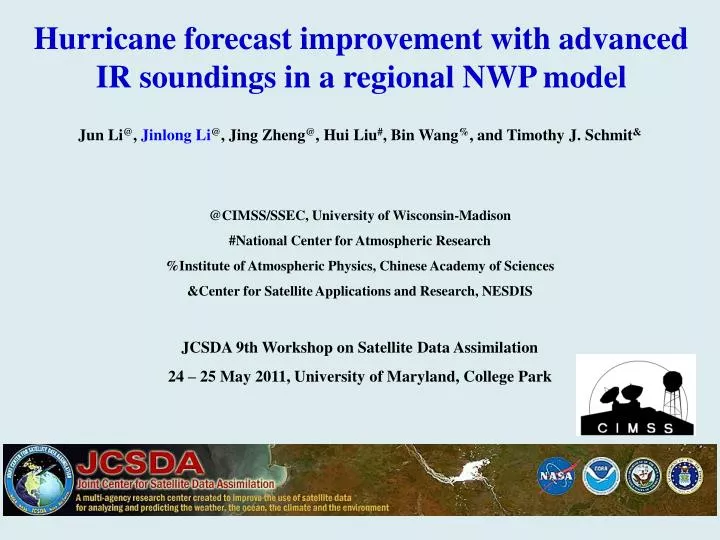
Hurricane forecast improvement with advanced IR soundings in a regional NWP model. Jun Li @ , Jinlong Li @ , Jing Zheng @ , Hui Liu # , Bin Wang % , and Timothy J. Schmit & @CIMSS/SSEC, University of Wisconsin-Madison #National Center for Atmospheric Research

E N D
Hurricane forecast improvement with advanced IR soundings in a regional NWP model Jun Li@, JinlongLi@, Jing Zheng@, HuiLiu#, Bin Wang%, and Timothy J. Schmit& @CIMSS/SSEC, University of Wisconsin-Madison #National Center for Atmospheric Research %Institute of Atmospheric Physics, Chinese Academy of Sciences &Center for Satellite Applications and Research, NESDIS JCSDA 9th Workshop on Satellite Data Assimilation 24 – 25 May 2011, University of Maryland, College Park
Objective • Collaborate with CIRA (MilijaZupanski) on using the combined high temporal GOES-R ABI and hyperspectral IR data from polar-orbiting satellites for hurricane forecast improvement with focus on hurricane intensity • Project “CIMSS Participation in the Utility of GOES-R Instruments for Hurricane Data Assimilation and Forecasting”
Methodologies/technical approaches • Use the GOES Sounder/SEVIRI and AIRS/IASI to emulate the GOES-R ABI and LEO (low earth orbit) hyperspectral IR sounder for this study • Using AIRS single field-of-view (SFOV) soundings (developed at CIMSS) in hurricane forecast through WRF/DARTensembleforecast/assimilation system • 27 km resolution, 32 members • 48-hour analysis followed by 96-hour forecast • Using AIRS SFOV soundings in hurricane forecast through WRF/3DVAR forecast/assimilation system • 12 km resolution • Assimilation followed by 48-hour forecast • Use hurricane track/intensity observations, ECMWF analysis, TRMM precipitation measurements to verify the impact of GOES-R/LEO measurements on hurricane forecast
2010 – 2011 accomplishments • Full spatial resolution (single FOV) AIRS soundings for Hurricane Fred (05 – 14 September 2009) have been processed and provided to CIRA for assimilation experiments • Both WRF/DART and WRF/3DVAR have been implemented and tested at CIMSS computer environment • Both WRF/DART and WRF/3DVAR are used to assimilate AIRS SFOV soundings for Hurricane Ike (2008) case, positive impact on analysis and forecast is found • AIRS sounding assimilation with 4DVAR tested
1. AIRS SFOV soundings processed and provided to CIRA for assimilation experiments (example of retrieved 700 hPa water vapor mixing ratio - 2009.09.10 ) (g/kg) (K) Clear sky AIRS single field-of-view water vapor mixing ratio (g/kg) retrievals at 700 hPa on 10 September 2009, each pixel provides vertical temperature and moisture soundings.
2. Assimilating advanced IR soundings with WRF/DART – hurricane forecast experiments • ~10 AIRS granules over the regional WRF domain • SFOV AIRS soundings (13.5 km at nadir) are derived using CIMSS hyperspectral infrared sounding retrieval (CHISR) algorithm, clear sky only soundings are used • Ensemble assimilation of AIRS soundings followed by ensemble forecast (48 hours assimilation from 20080906 06 UTC followed by 96 hours forecast from 20080908 00 UTC) • CTL run: radiosonde, aircraft, land and marine surface observations, satellite wind observations, vortex locations, Quikscat winds • AIRS run: Same as CTL run plus AIRS SFOV T and Q soundings
Hurricane Ike (2008) 48-hour SLP and track analysis from 20080906 06UTC
Hurricane Ike (2008) 96-hour SLP forecast from 20080908 00UTC Ctrl AIRS SFOV Mean of ctrl run
Hurricane Ike (2008) 96-hour track forecast from 20080908 00UTC Ctrl AIRS SFOV Mean of ctrl run
Typhoon Sinlaku (2008) Fact Sinlaku Path Sinlaku rapid intensification observed
Track and intensity analyses (WRF/DART) for Sinlaku (2008) Rapid intensification from 9 – 10 September 2011 – water vapor soundings are important! CIMSS-T: AIRS SFOV temperature CIMSS-Q: AIRS SFOV water vapor CIMSS-TQ: AIRS SFOV temperature and water vapor
3. Assimilating advanced IR soundings with WRF/3DVAR - Hurricane forecast experiments • 2008090606_WRF/3DVAR (12 km resolution) • CTRL run: use NCEP 6-hour final operational global analysis (1.0 x 1.0 degree grids; http://dss.ucar.edu/datasets/ds083.2/), including radiosondes, satellite winds, pilot report, GPS, ship, profiler, surface observations etc., starting at 06 UTC 06 September 2008 • AIRS (Control + AIRS) run: use clear-skies from granules g066/067/068, but only assimilate 13 levels of AIRS SFOV temperature and moisture profiles between 500 and 800 hPa (TQ58) • Comparisons of hurricane track for the next 48 hour forecast
Hurricane Ike (2008) 48-hour SLP and track forecast from 20080906 06UTC
4. Assimilating advanced IR soundings with AREM/4DVAR – Storm precipitation forecast experiment • Control Run: NCEP-FNL analysis • AIRS Run 1: • Assimilate AIRS T/Q at 2009072206 • AIRS Run 2: • Assimilate AIRS T/Q at 2009072206and 2009072218 • Assimilating window: 00 – 06 UTC and 12 – 18 UTC 2009年7月22日~23日 2009072206 2009072218 300 hPa AIRS temperature (K)
OBS CTRL 24-hour Precipitation Forecast AIRS Run 1 AIRS Run 2
Summary • AIRS SFOV temperature and water vapor soundings improve both the track and intensity forecast for Hurricane Ike (2008) and Typhoon Sinlaku (2008). • Both WRF/DART and WRF/3DVAR provide consistent results on using AIRS SFOV soundings for hurricane assimilation and forecast. • AIRS SFOV moisture soundings improve the definition of the typhoon vortex in the analysis and the forecast of the rapid intensification for Typhoon Sinlaku (2008). • AIRS SFOV temperature and moisture soundings improve 24 hour precipitation forecast with AREM/4DVAR.
Next plans • Conduct assimilation experiments on using operational AIRS soundings (with coarser spatial resolution but better cloudy soundings) • Conduct assimilation experiments on using GOES-R temporal information, the current GOES soundings will be used as proxy for GOES-R • Conduct experiments on GOES Sounder, AIRS and GOES Sounder + AIRS • Conduct assimilation using 4DVAR • Continue collaboration with CIRA on using SEVIRI and AIRS • Improve AIRS SFOV soundings for assimilation experiments
References • Li, J., H. Liu, 2009: Improved hurricane track and intensity forecast using single field-of-view advanced IR sounding measurements, Geophysical Research Letters, 36, L11813, doi:10.1029/2009GL038285. • Liu, H., and J. Li, 2010: An improvement in forecast of rapid intensification of typhoon Sinlaku (2008) using clear sky full spatial resolution advanced IR soundings, Journal of Applied Meteorology and Climate, 49, 821 – 827. • Li, J., H. Liu, and T. Schmit, 2010: Advanced infrared water vapor measurements improve hurricane forecasts. SPIE, 012337/FAE9473B/000053. (http://spie.org/x42479.xml?highlight=x2420&ArticleID=x42479) • Wang, B., J. Liu, S. Wang, W. Cheng, J. Liu, C. Liu, Q. Xiao, and Y. Kuo, 2010: An Economical Approach to Four-dimensional Variational Data Assimilation. Adv. Atmos. Sci., 27, 715 - 727.