Download
1 / 18
190 likes | 197 Views
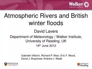
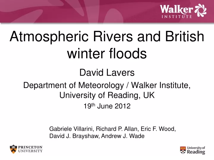
Atmospheric Rivers and British winter floods. David Lavers Department of Meteorology / Walker Institute, University of Reading, UK 19 th June 2012. Gabriele Villarini , Richard P. Allan, Eric F. Wood, David J. Brayshaw , Andrew J. Wade. Contents. Introduction

E N D
Atmospheric Rivers and British winter floods David Lavers Department of Meteorology / Walker Institute, University of Reading, UK 19th June 2012 Gabriele Villarini, Richard P. Allan, Eric F. Wood, David J. Brayshaw, Andrew J. Wade
Contents • Introduction • Hydrologic study of AR-flood links • AR-flood links from an atmospheric standpoint • Conclusions
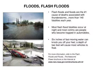
Introduction • Winter Floods have been widespread in Britain (e.g., November 2009). • High economic losses. In Europe economic losses due to floods have exceeded those from any other natural disaster (over last 20 years). • Atmospheric Rivers (ARs) are regions of enhanced moisture transport across the mid-latitudes in warm sector of extra-tropical cyclones. • Most AR-flood research undertaken in western North America.
Basins for AR-flood link assessment Western Britain – impermeable geology/ mountainous; higher rainfall totals; quick response. Ewe at Poolewe; BFI=0.64, 441.1km2 Ayr at Mainholm; BFI=0.29, 574km2 South-eastern Britain – permeable geology (e.g., chalk) / lowland; lower rainfall totals; lagged response. Eden at Temple Sowerby; BFI=0.37, 616.4km2 Dyfi at Dyfi Bridge; BFI=0.39, 471.3km2 Teifi at GlanTeifi; BFI=0.54, 893.6km2 Taw at Umberleigh; BFI=0.43, 826.2km2 Lavers et al., submitted JGR
Seasonality of floods (POT-5) Peaks-over-Threshold (POT) with on average 5 floods per year (1979-2010). The largest and the highest number of floods occur in winter.
November 2009 Cumbrian flood • Peak flow at Eden at Temple Sowerby (267m3/s) on 19th Nov 2009; 3 day rainfall total of 164.5mm near gauging station. • Other areas in Cumbria received >300mm in 24 hours. Cumecs (m3s-1) Data source: UK National River Flow Archive / UKMO MIDAS. Lavers et al., 2011 GRL
Fields at 0600 UTC 19th Nov 2009 Data source: ECMWF ERA-Interim reanalysis. SSMI F16 retrieval of column IWV units: ms-1 Lavers et al., 2011 GRL
IVT at 0600 UTC 19th Nov 2009 Integrated Vapour Transport from 1000 hPa to 300 hPa Data source: ECMWF ERA-Interim reanalysis. units: kg m-1 s-1
IVT at 0600 UTC 19th Nov 2009 Integrated Vapour Transport in different layers Data source: ECMWF ERA-Interim reanalysis. units: kg m-1 s-1
Top 10 winter floods (in WMS) in Eden • Top 10 floods in Winter Maximum Series (WMS) over 1970–2010. • Persistent ARs located over basin in these floods. • ARs have consistent location and orientation. Data source: 20th Century / ECMWF ERA-Interim reanalyses. Lavers et al., 2011 GRL
Atmospheric Circulation (Top 10 floods) Data source: 20th Century / ECMWF ERA-Interim reanalyses.
Conclusions 1 • Damaging British flood (November 2009) linked to persistent AR event. • Ten largest winter floods in a range of British river basins connected to ARs. • ARs were particularly recognisable during winter floods in fast-responding basins; permeable basins require a series of storms to produce floods. • Findings broadly applicable to NW Europe.
AR screening in atmospheric reanalyses • At 900 hPa search between 50°N and 60°N (at 4°W) for q > 5 g/kg and uv > 12.5 m/s; these criteria must exist across North Atlantic (for 20° longitude). • If these conditions exist for 3 time steps over a specific region then a persistent AR is identified (only 4.5° latitude movement). • Applied to the winter half-year (Oct-Mar) over 1979–2009 in five reanalyses. 4°W 60°N 50°N Lavers et al., submitted JGR
AR totals in each winter half-year Twentieth Century 404 CFSR 386 ERA-Interim 369 MERRA 319 NCEP-NCAR 396 Positive NAO (hence stronger westerly winds over the N. Atlantic) tends to be associated with more ARs.
ARs and AMS / WMS floods NCEP-NCAR MERRA ERA-Interim CFSR Twentieth Century 1). Extract peak mean daily river flow in winter half-year (WMS) and water year (AMS). AMS and WMS are generally equivalent. 2). Persistent AR must start 2 days before or on day of flood. e.g., Dyfi has 30/31 years when an AR is linked to a flood. Lavers et al., submitted JGR
AR-flood “hit rate” • Strong connection between ARs and the largest winter floods. • However, how many identified ARs in the reanalyses are not related to flood events? • Using the POT-5 floods in the six basins, we calculate what percentage of ARs were related to these floods. Lavers et al., submitted JGR
Conclusions 2 • Algorithm detects persistent ARs. • Good AR agreement between reanalyses. • Winter floods are the largest. • Strong connection between identified ARs and winter floods in six river basins; in one basin 30/31 years have AR-flood link. • Up to 56 % of ARs related to POT-5 floods.
Thank you for listening David Lavers (d.a.lavers@reading.ac.uk) Visit www.walker-institute.ac.uk