Download
1 / 18
200 likes | 389 Views
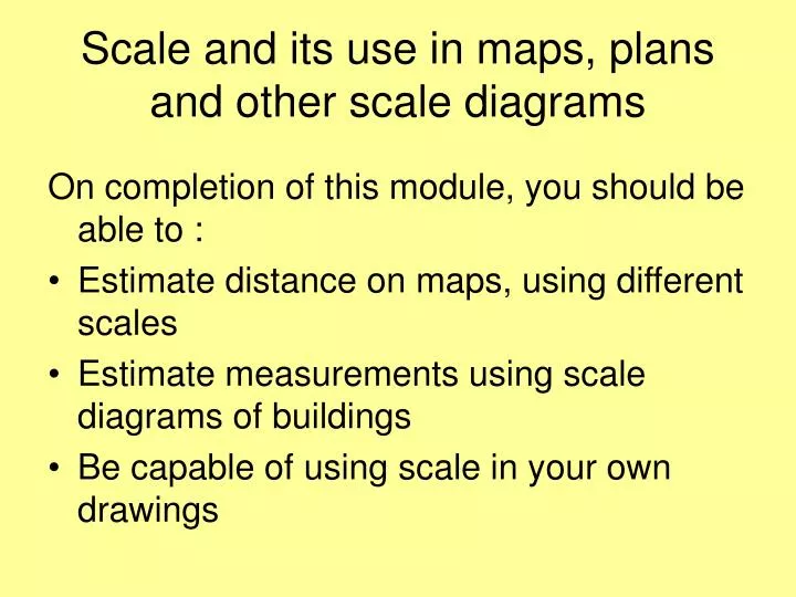
Scale and its use in maps, plans and other scale diagrams. On completion of this module, you should be able to : Estimate distance on maps, using different scales Estimate measurements using scale diagrams of buildings Be capable of using scale in your own drawings.

E N D
Scale and its use in maps, plans and other scale diagrams On completion of this module, you should be able to : • Estimate distance on maps, using different scales • Estimate measurements using scale diagrams of buildings • Be capable of using scale in your own drawings
This is an image from Google Maps. 1. Can you spot where you are ? 2. How far away is New York?
Note that in the bottom left corner, there is a scale, Letting us make measurements on the maps.
This map has a different scale. Approximately how far is London from Paris? • “As the crow flies” • By main roads • How long is the Chanel crossing
As the scale gets smaller, we can make more detailed, local measurements.
Crayford Bexley Estimate the approximate from Bexley to Crayford railway stations, by rail, in Km.
Bexleyheath Broadway Centre Estimate the Area of the Broadway Centre site (shown in Grey)
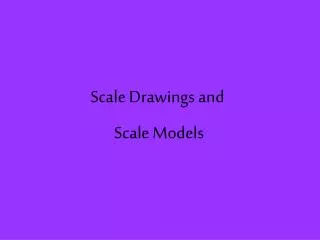
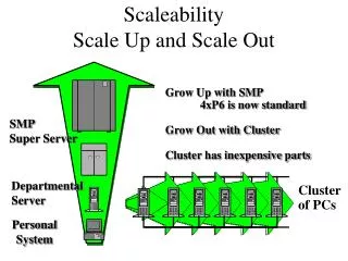
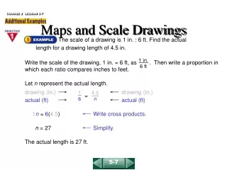
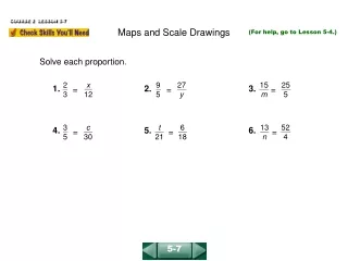
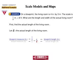
Scale Diagrams/Drawings • Maps are scale drawings • Using the scale you can estimate the distances represented. • Scale diagrams are frequently used to draw accurate representations of Buildings, Bridges etc. • The following link is to a lesson resource on the topic. http://rwp.qia.oxi.net/learning_material/portal/scale-drawings_num_2/m05/t09/index.htm
The following slides illustrate the use of the on line resource
The following slides illustrate the use of the on line resource
The following slides illustrate the use of the on line resource
The following slides illustrate the use of the on line resource
The following slides illustrate the use of the on line resource
The following slides illustrate the use of the on line resource
The following slides illustrate the use of the on line resource


![[4.2] Scale Diagrams](https://cdn1.slideserve.com/2742266/4-2-scale-diagrams-dt.jpg)