Download
1 / 4
40 likes | 170 Views
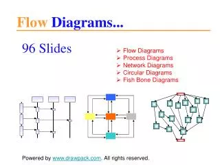
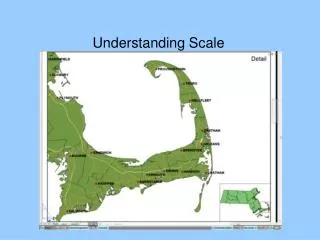
[4.2] Scale Diagrams. The scale for the fish picture is 1:9.2 How big was the actual fish?. If the actual length of the fly is 9 mm… What is the scale factor?. The flying distance from Dawson City to Whitehorse is 540km. The distance shown on the map is 3 cm .

E N D
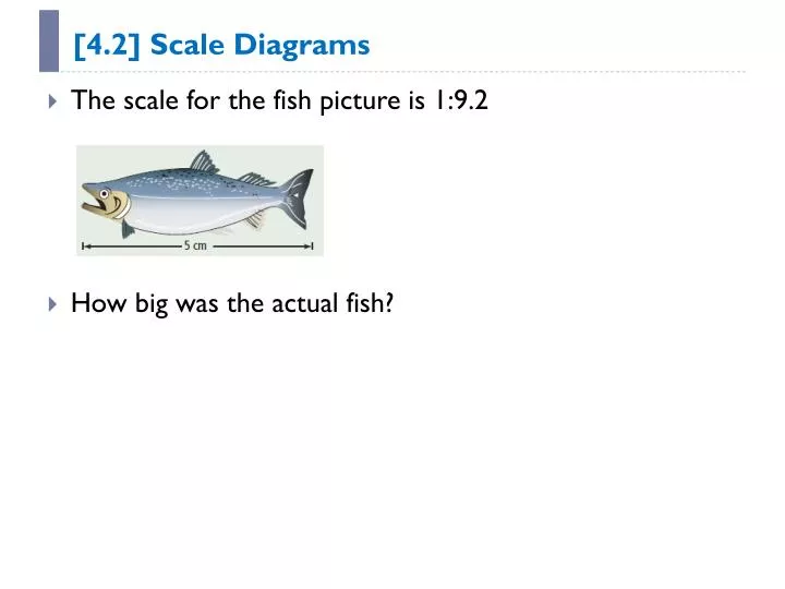
[4.2] Scale Diagrams • The scale for the fish picture is 1:9.2 • How big was the actual fish?
If the actual length of the fly is 9 mm… • What is the scale factor?
The flying distance from Dawson City to Whitehorse is 540km. • The distance shown on the map is 3 cm. • What is the scale of the map?
Ratios • A 75cm long object is drawn to scale. • The drawing is 13cm long. • What is the scale? • Written as a fraction • Written as a ratio