Download
1 / 9
90 likes | 247 Views
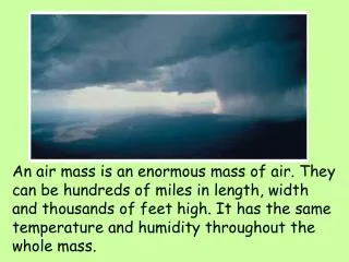
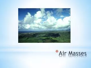
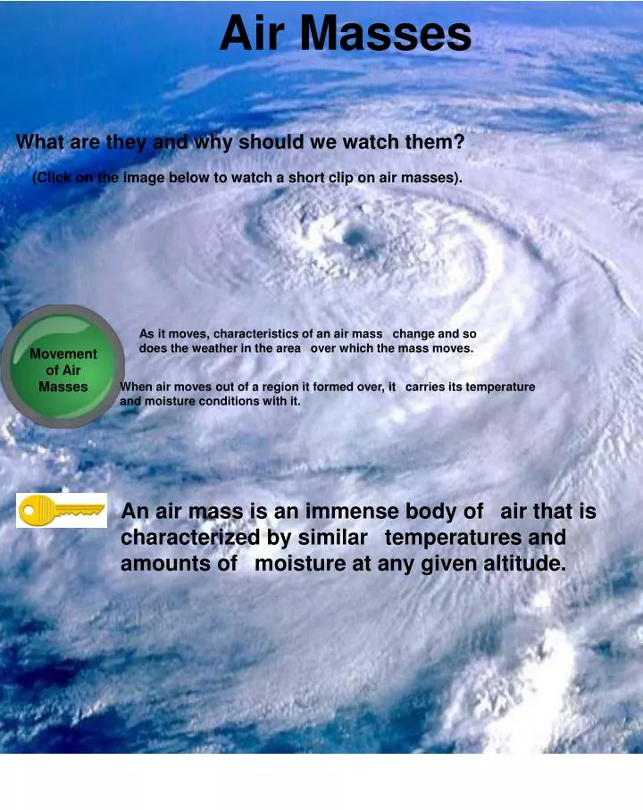
Air Masses. What are they and why should we watch them?. (Click on the image below to watch a short clip on air masses). As it moves, characteristics of an air mass change and so does the weather in the area over which the mass moves. Movement of Air Masses.

E N D
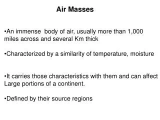
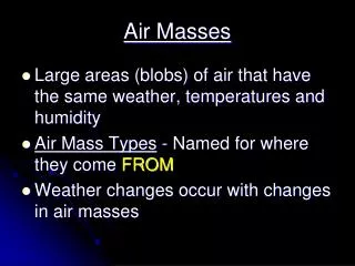
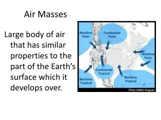
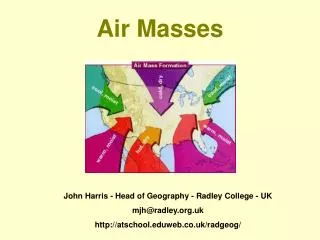
Air Masses What are they and why should we watch them? (Click on the image below to watch a short clip on air masses). As it moves, characteristics of an air mass change and so does the weather in the area over which the mass moves. Movement of Air Masses When air moves out of a region it formed over, it carries its temperature and moisture conditions with it. An air mass is an immense body of air that is characterized by similar temperatures and amounts of moisture at any given altitude.
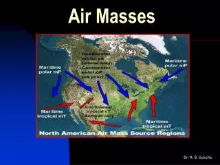
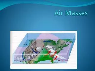
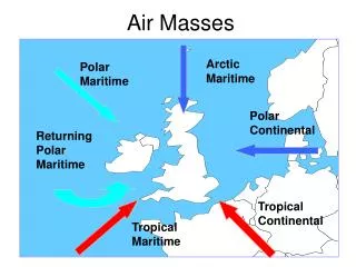
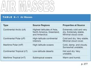
Classifying Air Masses P (or polar) air masses form at high latitudes near the Earth's poles. Air mass that form at low latitudes are T (or tropical) air masses. The terms polar and tropical describe temperature characteristics over which they form. Polar air masses are cold while tropical air masses are warm. Polar & Tropical Air Masses The area over which and air mass gets its characteristic properties of temperature and moisture is called the source region. Air masses are named according to their source region. C (or Continental) air masses form over land. M (or maritime) air masses form over water. Continental and Maritime describe moisture characteristics of air masses. Continental air masses are likely to be dry while maritime are likely to be humid. Continental & Maritime Air Masses In addition to their overall temperature, air masses are classified according to the surface over which they form. There are four basic types of air masses. CP - continental polar which is dry and cool. CT- continental tropical which is dry and warm or hot. MP- maritime polar and MC-continental, with polar being colder, both being wet.
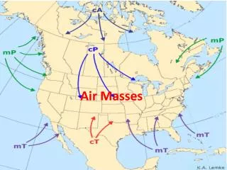
Weather in North America A majority of the weather in North America that is east of the Rocky Mountains, is influenced by cP and mT air masses. Continental Polar Air Masses Maritime Tropical Air Masses * Uniformly cold and dry in summer * Clear and old in the winter - cold front * No heavy precipitation * In Great Lakes can bring snow or showers (lake-effect snow) * warm, loaded with moisture * unstable * responsible for 2/3 of the moisture in N. America * Summer in central and east U.S. brings high temps. and oppressive humidity Maritime Polar Air Masses Continental Tropical Air Masses * have least influence on weather in N. Am. * hot dry masses in S.W. U.S. and Mexico affected * at western U.S. shore during winter brings low clouds & showers * inland it produces heavy rain or snow * in New England it brings cold snowy weather Only occasionally do these masses affect other regions other than the source.
Fronts When two air masses meet, they form a front, which is a boundary that separates two air masses of different properties. Fronts are often associated with precipitation. Types of Fronts: 1) Warm 2) Cold 3) Stationary 4) Occluded
Warm Fronts A warm front forms when warm air moves into an area formerly covered by cooler air. The front moves slowly and as a result in light-to-moderate precipitation over a large area for an extended period.
Cold Fronts A cold front forms when cold dense air moves into a region occupied by warmer air. Because the cold air lifts up the warm air it is often gusty winds and downpours.
Stationary Fronts A stationary front forms when two masses of air come together but neither of them displaces the other. Sometimes a stationary front is associated with gentle to moderate precipitation.
Occluded Fronts When a cold front overtakes a warm front, and occluded front forms. The characteristics are depending of the type of occluded front that forms.
Resources 1) Wikipedia.org 2) Google images 3) Youtube.com 4) Tarbuck & Lutgens. Georgia Earth Science. Pearson Education, 2009.