Download
1 / 8
90 likes | 327 Views
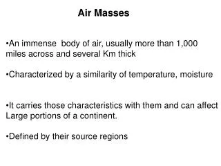
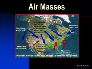
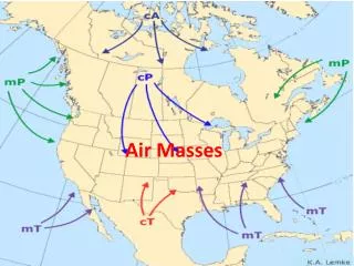
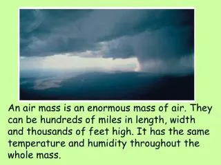
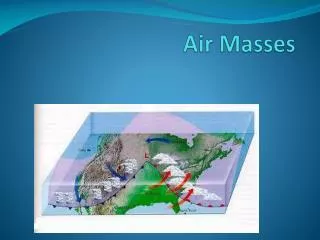
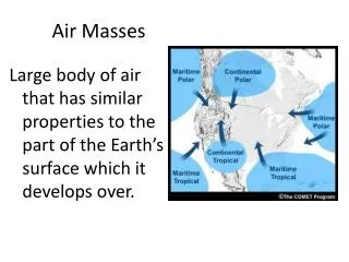
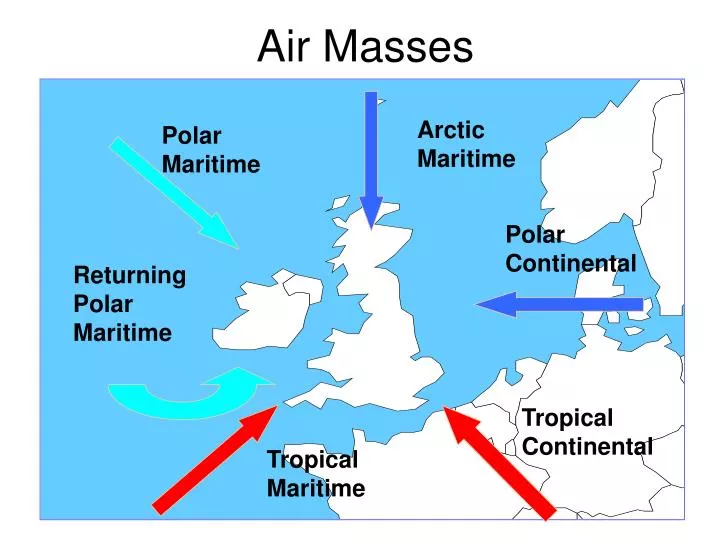
Air Masses. Arctic Maritime. Polar Maritime. Polar Continental. Returning Polar Maritime. Tropical Continental. Tropical Maritime. Norwegian Model. Norwegian Model. Backs slowly Sharp veer Steady again. Passage of a warm front …. On. Before. After. Wind

E N D
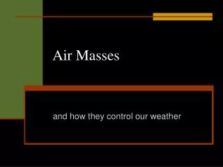
Air Masses Arctic Maritime Polar Maritime Polar Continental Returning Polar Maritime Tropical Continental Tropical Maritime
Backs slowly Sharp veer Steady again Passage of a warm front … On Before After Wind Dew point Pressure Temperature Cloud Visibility Weather Slow increase Sharper rise Steady Usually falls Usually steady Steady Little effect Fall in rain Milder than before Increases & Thick layers Thin layer cloud lowers as rain with some breaks approaches possible Good becoming Poor in rain Moderate or poor moderate Rain turning Short burst Damp, drizzly heavy of heavy rain
Steady Sharp veer Steady (gusty) Passage of a cold front ... On Before After Wind Dew point Pressure Temperature Cloud Visibility Weather Steady Falling Fall continues for a bit Steady Pressure ‘kick’ Rises Mild usually Fall in rain Usually falls Thin low cloud Thick layers Convective cloud some breaks embedded Cb develops after a bit Moderate or Poor in rain Very good poor Light rain or Short burst Dry then showers drizzle of heavy rain
The Station Circle Windspeed and direction Wind from direction of the shaft Triangle = 50 kts Full feather =10 kts Half feather = 5 kts Just shaft < 3kts Type of medium and high cloud. Decode over page Screen temperature in tenths of a degree e.g... 167 = 16.7 C Mean sea level pressure Last 3 figures of the MSL Pressure e.g... 181 = 1018.1hPa 167 181 Visibility 01 to 50 add 00 for visibility in metres 56 to 89 subtract 50 for visibility in km Change in pressure (tendency) Difference in pressure from 3 hours in tenths of hPa and direction of up or down. Decode over page 64 10 045 Past weather Symbols as Present weather Period covered 0000,0600,1200,1800 last 6hrs 0300,0900,1500,2100 last 3hrs All other hours last hour Present weather Symbols Fog Showers 1/30 Drizzle Snow Dew point in tenths of a degree e.g.... 045 = 4.5 C Rain Thunderstorm Type of low cloud Phenomena occurred in past hour. Cloud amount and height ( Low, Medium and High) Amount of cloud in eighths /height of cloud in feet 01 to 50 add 00 for height in feet 56 to 89 subtract 50 for height in thousands of feet
, , Observations 997 9 012 , 11 001 997 007 10 11 8 45 35 06 75 15 65 30 24 20 50 4 7 11 11 9
Tephigrams & Stability The position of the ELR gives the stability of the ascent at that point DALR > ELR > SALR Conditionally Unstable DALR > SALR > ELR Absolutely Stable ELR > DALR > SALR Absolutely Unstable Any point on an ascent