Download
1 / 11
110 likes | 243 Views
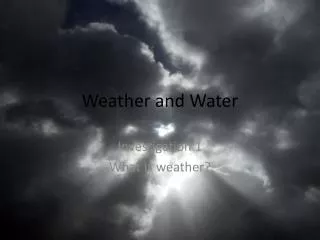
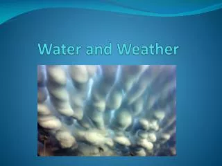
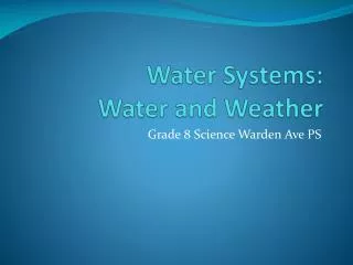
Weather and Water Monday February 25th. Session Topics Hurricanes Weather Fundamentals A review of Cloud & Weather observations from 2/17 -2/15 Observations vs. predictions; a few Internet sites to gather data to make short term forecasts. White White.

E N D
Weather and WaterMonday February 25th • Session Topics • Hurricanes • Weather Fundamentals • A review of Cloud & Weather observations from 2/17 -2/15 • Observations vs. predictions; a few Internet sites to gather data to make short term forecasts White White
Hurricanes (Atmosphere/Ocean storms) A hurricane is a tropical cyclone that occurs in the Atlantic Ocean. What type of pressure system is a hurricane? What is the relationship between hurricane intensity and sea surface temperatures? http://cimss.ssec.wisc.edu/wxfest/explore.html Can you list two big picture ideas from the SMI Weather and Water course related to hurricane development and movement?
Hurricanes (Atmosphere/Ocean storms) Hurricanes stand out on satellite images due to their circular cloud patterns and, in stronger storms, a nearly clear eye at the center. Immediately surrounding the eye is a narrow, circular, rotating region of intense thunderstorms called the eye wall. Winds in the eye wall thrust up as much as a million tons of air every second. Hurricane Iris (2001)
Hurricanes Ingredients for a Hurricane 1) Warm ocean waters about 80°F ( 27°C) or warmer. 2) Lack of vertical wind sheer that might slow or detour rising air drafts. 3) Some sort of pre-existing weather disturbance Hurricanes are essentially large weather engines fueled by the latent heat of water generated when ocean water enters the atmosphere as vapor. The energy required for this evaporation process comes from the Sun, and this energy is lying in wait -latent- ready to be released again when the vapor is condensed into liquid.
Hurricanes POES and GOES monitor hurricanes Visible image from a polar orbiting satellite showing Hurricane Isabel making landfall Infrared images from a geostationary satellite
Hurricanes Hurricane Felix, September 2007
Morning Clouds & Afternoon weather http://www.weather.gov/data/obhistory/KMSN.html
Weather Fundamentals – Fronts Fronts The transition zone or boundary between two distinct air masses.
Weather Fundamentals – Highs and Lows The divergence of air at the surface out of high pressure areas induces sinking air above, causing clear skies and dry conditions. The convergence of air into Lows forces air to rise at the center, leading to moist, cloudy conditions. This is why clear skies on satellite images typically indicate high pressure and clouds indicate areas of low pressure.
Internet sites for short term Weather Forecasting 12Z analysis for Continental United Stateshttp://www.ametsoc.org/amsedu/dstreme/images/sfc_map_12.gif Wisconsin surface Map http://www.crh.noaa.gov/images/grb/maps/wi_sfc.gif Satellite Imagery and animations IR http://www.ssec.wisc.edu/data/east/animation/goeseastir.html VIS http://www.ssec.wisc.edu/data/east/animation/goeseastvis.html Daily Forecast Map http://www.hpc.ncep.noaa.gov/noaa/noaa