Download
1 / 24
240 likes | 327 Views
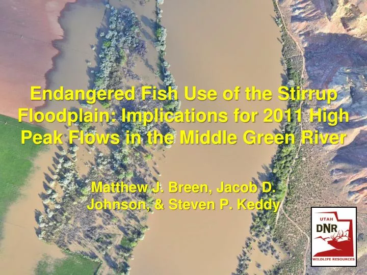
Endangered Fish Use of the Stirrup Floodplain: Implications for 2011 High Peak Flows in the Middle Green River. Matthew J. Breen, Jacob D. Johnson, & Steven P. Keddy. Introduction. Razorback sucker spawn during rising hydrograph Adaptation for larval drift & entrainment in floodplains

E N D
Endangered Fish Use of the Stirrup Floodplain: Implications for 2011 High Peak Flows in the Middle Green River Matthew J. Breen, Jacob D. Johnson, & Steven P. Keddy
Introduction • Razorback sucker spawn during rising hydrograph • Adaptation for larval drift & entrainment in floodplains • Muth et al. (1998) • Unclear how long razorbacks use nursery habitats Razorback sucker (Xyrauchen texanus)
Introduction cont. • Bonytail & Colorado pikeminnow floodplain use • Hedrick et al. (2012) • Stirrup floodplain • Green River Floodplain Management Plan (2003) • Potential to overwinter fish • Single breach wetland Colorado pikeminnow (Ptychocheilus lucius) Bonytail (Gila elegans)
Goal & Objectives • Characterize age of emigration from floodplains to the Green River • Maintain multiple year-classes of razorbacks and bonytail in the Stirrup • Determine duration of floodplain use by stocked fish • Examine floodplain use by other fishes • Stock fish into the Stirrup wetland • YOY, age-1, & age-2 razorbacks stocked from 2007-2009 (7,990 total) • Age -2 bonytails stocked in 2011 • First time stocked in floodplain • Fish were PIT-tagged Stocked 6,804 bonytail April 2011
Methods • Maintain & monitor water quality • Monitor water quality (year-round) • Pump water into Stirrup (November) • Monitor fish movement during high spring flows (May–July) • Operated 3 PIT antennas in the floodplain breach • Solar powered MUX • Installed prior to floodplain connection Stationary PIT array located in the breach
Methods cont. • Breach measurements during floodplain connection • Measured flows in the breach • Measured depth and turbidity gradient (4 locations) • Too deep after May 31st • Fish community sampling post-connection • Fyke nets, trammel nets, boat electrofishing (July & November)
Results 69 days of connection!
Inflow into the Stirrup May 8 May 9 May 10 – 11 cm deep May 11 – 70 cm deep
Fish Detections • 20,884 detections during floodplain connection • 1,216 unique fish detected (1 unaccounted for) • 1,139 bonytail • 16.6% of fish stocked in Stirrup in 2011 • 10 bonytail stocked in the Green River • 63 razorback sucker • 6 fish stocked in Stirrup in 2009 (age-3 fish) • 22 fish stocked in Baeser floodplain (3 for 2nd time at Stirrup) • 35 stocked in middle Green River • 13 pikeminnow • 8 tagged in middle Green River (4 w/ 2010 detections at Stirrup) • 5 tagged in lower Green River • 2001–Green River (RM 26.8) • 2008–White River (RM17.2) • 2009–Green River (RM 329.8)
Breach Discharge Effects on Fish Movement rP = -0.350 P = 0.356 N = 9
Breach vs. Main Channel No relationship with Turbidity
Movements cont. Super-highway under construction • Fish were detected from May 11th to July 16th • Following sufficient depth unt • Diel detections – daytime movements for all species • Bonytail 59% • Pikeminnow 65% • Razorbacks 61% • Nighttime movements in previous years (Hedrick et al. 2012)
Effects of Breach Depth on Fish Movement rS = 0.583 P = 0.067 N = 10
Fish Sampling Juvenile pikeminnow
Conclusions • Extensive floodplain connection = extensive floodplain use • 2008–2010: avg. = 19.7 days; only >20,000 cfs in 2010 • >20,000 cfs for 49 days in 2011; 1,216 fish detected • More fish detected than previous years combined (Hedrick et al. 2012) • Wetland use in multiple years • Floodplain used by 3 endangered species for a variety of reasons • Rearing habitat, refuge & resting locations, foraging opportunities • Underestimate due to high peak flows • Breach widened; antenna avoidance likely • One antenna after June 5th ~21,000 cfs
Conclusions cont. • Floodplain use by bonytail • >16% bonytail (under-estimation) • Important to their life-history? • Active use of Stewart Lake (UDWR, unpub.) • High survival of bonytail for >1 month before moving to river • Viable stocking option to increase survival vs. riverine stockings • Stock different age classes? • Duration of floodplain use • 2 winters for razorbacks; age-3 fish • 57.4% moved out at age-3 • 34% at age-2 (Hedrick et al. 2012) • Duration of breach detections • Probing behavior associated w/ flows?
Recommendations & Future Work • Connection does not dictate fish movements between floodplain and riverine habitats • Breach depth an important factor • Sheet flow until ~18,000 cfs (Hedrick et al. 2012) • Flaming Gorge flow-release requests • PIT antennas provide great tool • Monitor Stirrup in 2012 for bonytail emigration • Relationship between breach conditions & fish movement • More data points • Stewart Lake floodplain study • Entrainment, seasonal use, & emigration • Connects at lower flows & we can manipulate draw-down period
Questions? • T. Hedrick, L. Johnson, & J. Skorupski assisted with fieldwork • Funding provided by the Bureau of Reclamation / Upper Colorado River Endangered Fish Recovery Program
Turbidity Effects on Fish Movement rS = 0.294 P = 0.369 N = 11