Download
1 / 19
190 likes | 335 Views
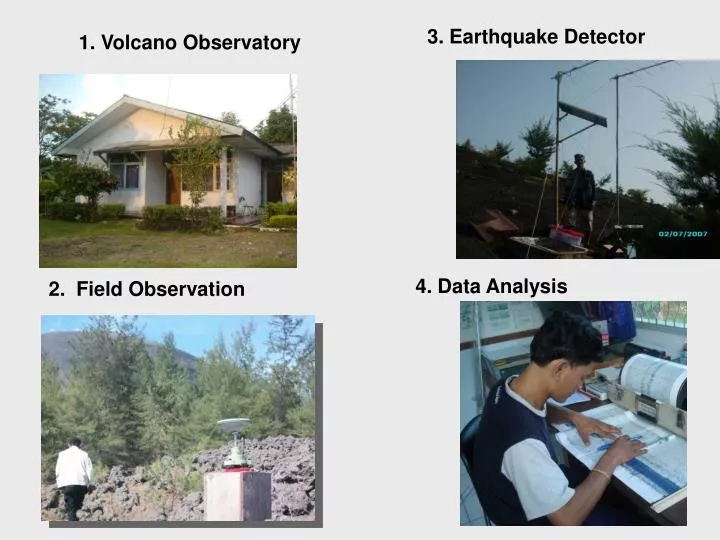
3. Earthquake Dete ctor. 1. Volcano Observatory. POS PGA G. Anak Krakatau, Pasauran. 4. Data Analysis. 2. Field Observation. III. THE 2010 MERAPI ERUPTION. After 2004 Tsunami in Aceh, the Indonesian government made two important laws, UU no. 24 Tahun 2007 on ” Disaster Management ”

E N D
3. Earthquake Detector 1. Volcano Observatory POS PGA G. Anak Krakatau, Pasauran 4. Data Analysis 2. Field Observation
III. THE 2010 MERAPI ERUPTION • After 2004 Tsunami in Aceh, the Indonesian government made two important laws, • UU no. 24 Tahun 2007 on ”Disaster Management” • UU no. 26 Tahun 2007 on ”Spatial Planning” • Based on these laws, disaster management paradigm is changed, now the disaster management in Indonesia are focused on risk reduction in pre-disaster phase.
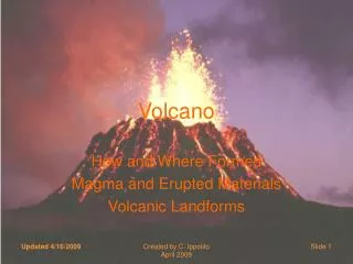
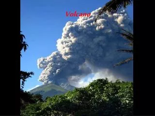
III. THE 2010 MERAPI ERUPTION Merapi is geographically locatedat position 7⁰ 32.5’ S dan 110⁰ 26.5’ E, at an altitude of 2980 m msl (before 2010 crisis). Merapi stratovolcano located 25-30 km north of Yogyakarta city-Indonesia, and in densely populated area. Merapi is one of the most active and dangerous volcanoes in Indonesia (more than 40,000 people living nearby the volcano). Eruptive activity during the 20th century typically reccured every 4 to 6 years (produce lava dome and pyroclastic flow) with VEI 1-3. The latest eruption 2010 , Merapi’s eruption had a VEI of about 4. CVGHM-Geological Ageny has a task to monitor its activity and issue early warning to the people around the volcano.
Chronologyof The 2010 Eruption of Merapi Eruption in 19th century, its intensity relatively bigger, whereas eruption in 20th century is more frequent. The possibility of big eruption occurs once in 100 years (Newhall, 2000). Example : Scale of 2006 eruption was VEI 2. The early warning system at Merapi (as at all volcanoes in Indonesia) comprises 4 alert level and it is based on the analysis of instrumental and visual observation.
The early warning system at Merapi (as at all volcanoes in Indonesia) comprises 4 alert level and it is based on the analysis of instrumental and visual observation. Level III Level IV
DEFORMATION OF SOUTHERN FLANK Erupt W S A Summit inflation only measured in southern side (>3m). Another side is stable.
“AWAS” Merapi (alert level IV) 25 October 2010, 06:00 am : SIAGA AWAS Safety zone out of 10 km in radius from the summit of Merapi SO2 flux = 249 tons/day 26 October 2010, 5:02 pm : First eruption www.klaten.go.id
Recommendation On 21 October CVGHM-Geological Ageny raised the alert from level II to III due to an increased likelihood of eruption. On 25 October , after seismicity and deformation increased, CVGHM- Geological Ageny raised the alert from level III to IV. • Visitors and residents were prohibited from approaching the crater within a 10-km-radius
“AWAS” Merapi (alert level IV) 29 -30 October 2010 : Eruption was more explosive 3 November 2010 : The series of pyroclastic flows occurs that began at 11:11 am, an increase in SO2 flux measured by mini DOAS (reached 500 ton/hari) 4:05 pm : Safe zone out of 15 km in radius from the summit 5:30 pm : Pyroclastic flow travelled down to 9 km into K. Gendol (southern part)
Recommendation On 3 November , a large eruption occured, CVGHM-Geological Ageny recommended extending the evacuation zone on the west and south From 10 km to 15 km, which increased the number of displaced people (> 100,000).
“AWAS” Merapi (alert level IV) 4 November 2010 : continuous and overscale tremor and also increasing SO2 mass in atmosphere reached more than 100 kilotons safe zone out of 20 km from summit 5 November 2010 : Dome collapsed generating pyroclastic flows with traveling distance to 15 km from the summit into Kali Gendol. OMI Boston Globe
“AWAS” Merapi(alert level IV) 6 November 2010 : Tremor is still continuous and overscale SO2 mass reached the peak at 250 - 300 kiloton. 13 November 2010 : Decrease in eruption intensity change in safe zone radius
“AWAS” Merapi (alert level IV) • November 2010 : Decrease in eruption intensity • change in safe zone radius
“AWAS” Merapi(alert level IV) Total victims caused by Merapi crisis 2010 is 249 people (BNPB) Maximum refugee reached 410.388 people (BNPB)
“SIAGA” Merapi(alert level III) On 3 December 2010, the alert level was downgraded to Level III (siaga) from Level IV.
IV. Conclusion • Early warning (Level I - Level IV) is not to predict volcanic eruption (when and how big the eruption will be), but each level depends on the level of activity and the potential hazards that may increase the hazard risk. • Rapid population growth and development of settlements in Indonesia (including Merapi) increased vulnerability in geological hazard risk management. • Volcanic Hazard Maps for all type-A volcanoes (volcanoes that have erupted at least one time since 1600) in Indonesia have been published and received by local governments. • In a volcanic eruption hazard risk reduction required the cooperation of all parties, where people live around the volcano is the subject. Education to the community in anticipation of the threat of volcanic eruption hazards become a key so that people can live in harmony with volcanoes. Volcano is a blessing for the surrounding community. Volcanoes provide important in life and living: soil fertility, provide water, provide the magnificence, so that people can live in prosperity and peace.