Download
1 / 15
150 likes | 157 Views
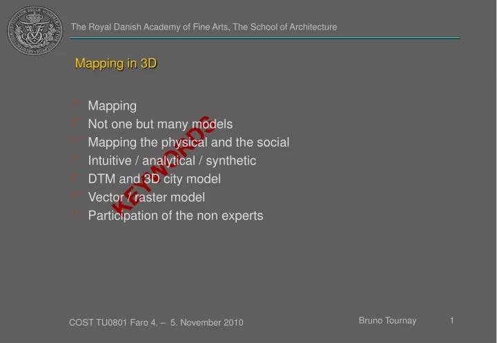
Mapping in 3D. Mapping Not one but many models Mapping the physical and the social Intuitive / analytical / synthetic DTM and 3D city model Vector / raster model Participation of the non experts. KEYWORDS. Mapping and urbanism.

E N D
Mapping in 3D • Mapping • Not one but many models • Mapping the physical and the social • Intuitive / analytical / synthetic • DTM and 3D city model • Vector / raster model • Participation of the non experts KEYWORDS
Mapping and urbanism “Urban space and cartographic space remain inseparable. As each is transformed the relationship between them alters, and current visual technologies mean that the opportunity in shaping and recording urban experience is greater than ever, as too is the need for critical attention to the making and meaning of both public and privates urban spaces,” Denis Cosgrove in Geography & Vision, Seeing, imagining and representing the world Lindsay Bresser, Claudia Dorner and Sergio Reyes Rodriguez, 123, Design Research Lab (DRL), Architectural Association, London, 2009
Intuitive / analytical / synthetic Data Map/3D model
Conclusion • Mapping combines different models • Visualize both physical and social relation • Models can be intuitive or analytical • Use different visualization of the same data • Model can be based on vector, raster or voxel • Model must be open to the participation of the non experts