Download
1 / 21
210 likes | 574 Views
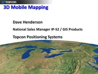
3D Mapping Robots. Intelligent Robotics School of Computer Science Jeremy Wyatt James Walker. What Are 3D Mapping Robots and Their Uses?. Robots which produce a 3-dimensional model of their environment from the data they collect

E N D
3D Mapping Robots Intelligent Robotics School of Computer Science Jeremy Wyatt James Walker
What Are 3D Mapping Robots and Their Uses? • Robots which produce a 3-dimensional model of their environment from the data they collect • They can be used by people who need to know more about the interior of a building: • Architects • Fire fighters • Human rescue workers
Types of Sensing Techniques • Stereo vision • Laser range finders • A combination of the two
Stereo Vision • Use stereo disparities to compute depth • Inaccurate in detecting the position of walls and objects especially in cluttered environments
Laser Range Finders • Very accurate in measuring distances to walls and objects in the environment • Has a range of 8m with a resolution of 1mm and a statistical error of +/-10mm • Can not detect any texture in the environment so can only produce single coloured models
A Combination of the Two • Laser range finders for detecting the distance of walls and objects • An omni-cam for producing texture maps for a realistic visualisation of the environment
The GATech Robot • Equipped with a laser range finder positioned vertically to scan perpendicular to the movement of the robot
How the Robot Builds the 3D Models • Collects raw data from the environment using the laser range finder • Converts the raw data into Cartesian co-ordinates • Converts the Cartesian co-ordinates into a mesh for the 3D model
How the Robot Collects the Raw Data • Laser moves through 180˚ in 0.5˚ steps from one side of the robot over the top to the other recording the distance • Approximately 38 scans are completed every second • Robot moves forward at 0.25m/s • Therefore approximately one scan every 5cm
Transforming the Raw Data Into Co-ordinates • Raw data is in the form of cylindrical co-ordinates • Transformed using the pose of the robot, the angle of the scan and the height of the centre of the laser scanner
Collecting the Co-ordinates to Form Triangles • Choose two scan points p1 and p2 from the same scan, taken at angles α and α + 0.5˚ • Choose the two corresponding points q1 and q2 from the next scan • Form two triangles p1p2q1 and q1p2q2 • For each triangle calculate its normal vector
Disadvantages of This Approach • The corridor appears to be slightly curved due to the way the robot moves • Obstacles below a height of 0.52m can not be detected by the robot • No filtering techniques were used so the model is very noisy but retains a high level of complexity because of this
Further Examples: Thrun et al • Uses two laser range finders and an omni-cam • Uses a technique called expectation maximisation • Processes the data to reduce the noise
Expectation Maximisation • Estimates the number of surfaces and their location • Adds and removes surfaces until it converges on the best fit model for the data
Summary • Brief overview of what 3D mapping is and some uses for 3D mapping • Different types of sensors used • How to collect data and convert it into a 3D model • Some more advanced methods for 3D mapping and processing of the data
References • www.cc.gatech.edu/ai/robot-lab/research/3d/ • www-2.cs.cmu.edu/~thrun/3d/