Download
1 / 62
620 likes | 621 Views
Learn how to use GPS technology in 4-H programming for educational and operational purposes, including wildlife mapping, high adventure activities, search and rescue, science and technology projects, and more.

E N D
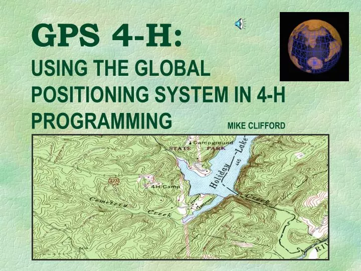
GPS 4-H:USING THE GLOBAL POSITIONING SYSTEM IN 4-H PROGRAMMING MIKE CLIFFORD
Global Positioning System A network of satellites that continuously transmit coded information, which makes it possible to precisely identify locations on earth by measuring distance from the satellites. THE GPS SATELLITE CONSTELLATION From GPS Land Navigation by Michael Ferguson
GPS and GIS DEFINITIONS • GPS is short for Global Positioning System which is • "a network of satellites that continuously transmit coded information, which makes it possible to precisely identify locations on earth by measuring distance from the satellites". • Of course, many users also refer to their hand-held GPS receivers as "my GPS" ... as in the statement "my GPS' • batteries went dead and I got lost!" • GIS is short for Geographic Information System(s). "In the strictest sense, a GIS is a computer system capable of assembling, storing, manipulating, and displaying geographically referenced information , i.e. data identified according to their locations. Practitioners also regard the total GIS as including operating personnel and the data that go into the system" • ( from: http://www.usgs.gov/research/gis/title.html ).
The NAVSTAR System 24 Satellites 6 orbital plates 11,000 miles up 12 hour orbit from GPS Land Navigation by Michael Ferguson
THE EARTH: Latitude & Longitude from GPS Land Navigation by Michael Ferguson
ERROR SOURCES Multipath interference Atmospheric Geometric DOP Clock Ephemeris S.A. (now turned off) LINE OF SIGHT from GPS Land Navigation by Michael Ferguson
ACCURACY STANDARD CIVILIAN RECEIVERS (Selective Availability OFF) HORIZONTAL ACCURACY TO 15 METERS (49.2’) OR BETTER VERTICAL ACCURACY (altitude) TO 100 METERS (328’)
DIFFERENTIAL GPS (DGPS) SYSTEMS TO IMPROVE POSITION ACCURACY • Coast Guard • Commercial Ground & Satellite Based Correction • Wide Area Augmentation System (WAAS)
WIDE AREA AUGMENTATION SYSTEM FAA SPONSORED GEO-STATIONARY SATELLITES FREE ACCESS ACCURACY TO 3 METERS INSTALLED ON MOST NEW (2001+) GPS MODELS
MILITARY MARITIME AUTOMOTIVE SURVEYING AVIATION FORESTRY ENVIRONMENTAL PUBLIC SAFETY ETC. HIKING HUNTING NATURE STUDY FISHING BOATING BIKING SKIING SNOWMOBILING GEOCACHING GOLF ! ETC. SOME GPS APPLICATIONS COMMERCE & GOVERNMENT RECREATIONAL
HOW CAN WE UTILIZE GPS IN 4-H PROGRAMMING? EDUCATIONAL & OPERATIONAL USES WILDLIFE MAPPING HIGH ADVENTURE LEADER TRAINING SEARCH & RESCUE BIG TREE SEARCH SCIENCE & TECHNOLOGY HUNTER EDUCATION TRIP PLANNING & SAFETY ENVIRONMENTAL EDUCATION FISHING & CANOEING AND LOTS MORE !
NAVIGATION BASICS 1. KNOW YOUR POSITION 2. PLAN YOUR ROUTE 3. STAY ON YOUR ROUTE 4. RECOGNIZE YOUR DESTINATION
BASIC NAVIGATION INFORMATION • PROVIDED BY GPS UNITS . . . • YOUR CURRENT POSITION • COORDINATES (LATITUDE & LONGITUDE, UTM, MGRS, ETC.) • ELEVATION (0R BETWEEN WAYPOINTS) • DIRECTION TO SPECIFIED WAYPOINTS • DISTANCE TO SPECIFIED WAYPOINTS • (0R BETWEEN WAYPOINTS • YOUR SPEEDOF TRAVEL • YOUR DIRECTIONOF TRAVEL
. . . AND OFTEN MUCH MORE MAPS TIME OF DAY CROSS TRACK ERROR ESTIMATED TIME OF ARRIVAL ESTIMATED TIME ENROUTE COORDINATES OF CITIES & TOWNS ETC.
USING THE GARMIN eTrex
ENTERING COORDINATES TO CREATE A NEW WAYPOINT IN ETREX • FIND “ MENU” PAGE • SELECT “MARK” • NAME IT & SELECT SYMBOL (optional) • ENTER ELEVATION (optional) • ENTER COORDINATE DATA • SELECT “OK” AND YOU’RE DONE
PROJECTING COORDINATES TO CREATE A NEW WAYPOINT IN ETREX YOU CAN ALSO CREATE A NEW WAYPOINT BY ENTERING A BEARING AND DISTANCE FROM YOUR CURRENT POSITION OR AN EXISTING WAYPOINT • ON “ MENU” PAGE SELECT “WAYPOINTS” • SELECT AN EXISTING WAYPOINT AND ENTER • SELECT “PROJECT” AND ENTER • NAME IT & SELECT SYMBOL (optional) • ENTER DISTANCE • ENTER BEARING • SELECT “OK” AND YOU’RE DONE
SPEED TRIP ODOMETER TRIP TIME SUNSET SUNRISE LOCATION ELEVATION BEARING HEADING MAX SPEED AVERAGE SPEED
AERIAL PHOTO TOPOGRAPHIC MAP
HIGHWAY MAPS VIRGINIA ROAD MAP Latitude-Longitude coordinates & grids ALEXIS ROAD MAP UTM & MGRS coordinates & grids
MAP DATUMS • WGS84 World Geodetic System 1984 Default datum on Garmin and most other GPS receivers. Most accurate datum, but not yet in wide use on maps. • NAD27 (NAD27CONUS) North American 1927 Older datum used on most USGS topographic maps. (We will be using this datum for the workshop) • NAD83 North Amerian Datum 1983 Very similar to WGS84. Used on newer USGS maps. • and hundreds of others!
COORDINATE SYSTEMS • LATITUDE / LONGITUDE(ANGULAR) DEGREES - MINUTES - SECONDS • UTM / UPS (RECTANGULAR, METRIC) UNIVERSAL TRANSVERSE MERCATOR(WE WILL BE USING UTM IN OUR FIELD EXERCISES) UNIVERSAL POLAR STEREOGRAPHIC • MGRS (UTM USING ALPHANUMERIC I.D.) MILITARY GRID REFERENCE SYSTEM OTHERS … TOWNSHIP & RANGE, STATE PLANE COORDINATE, ETC.
FOUR COMPASS STYLES ... BASEPLATE - MIRROR - LENSATIC - SIGHTING