Download
1 / 12
120 likes | 263 Views
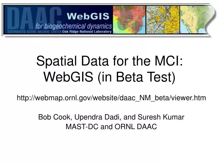
Spatial Data for the MCI: WebGIS (in Beta Test). http://webmap.ornl.gov/website/daac_NM_beta/viewer.htm Bob Cook, Upendra Dadi, and Suresh Kumar MAST-DC and ORNL DAAC. WebGIS.

E N D
Spatial Data for the MCI:WebGIS (in Beta Test) http://webmap.ornl.gov/website/daac_NM_beta/viewer.htm Bob Cook, Upendra Dadi, and Suresh Kumar MAST-DC and ORNL DAAC
WebGIS • An Internet based technology that enables users to browse, query, display, and download spatial data using a standard web site • Users can manipulate map features and extract and download selected map features including map layers (shape files).
Click to get map legend Layers Displayed: towers, counties, MCI Boundary
WebGIS Tools Display labels for map features: AmeriFlux Towers Use “select by rectangle” to query active layer (AmeriFlux Towers) Links to flux data for selected towers
Use “extract” to create zip file of selected features Zip file
Extracting Layers from WebGIS Shape Files
Additional Features • WebGIS includes a number of land cover, biophysical, elevation, and geopolitical layers, as well as access to other relevant Open Geospatial Consortium (OGC) layers • Please send comments on this beta test version and underlying data to Bob Cook cookrb@ornl.gov