Download
1 / 15
150 likes | 233 Views
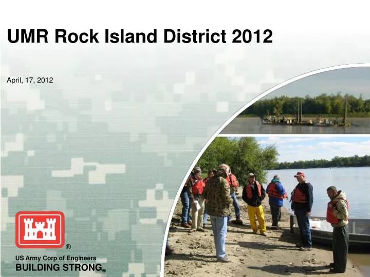
April, 17, 2012. UMR Rock Island District 2012. Overview. Hydraulic Dredging Mechanical Dredging Additional Items 2012 plans DMMP’s Cave Hollow Keithsburg Finley's/Hurricane FWS – Pool 15 Mussel Restoration. UMR Hydraulic Dredging. Pool 22 Cave Hollow RM 306

E N D
April, 17, 2012 UMR Rock Island District 2012
Overview • Hydraulic Dredging • Mechanical Dredging • Additional Items • 2012 plans • DMMP’s • Cave Hollow • Keithsburg • Finley's/Hurricane • FWS – Pool 15 Mussel Restoration
UMR Hydraulic Dredging Pool 22 • Cave Hollow RM 306 • Mechanical Beneficial Use • Pool 21 • LaGrange RM 336 • Hogback RM 332 • Pool 20 • Buzzard RM 349 • Pool 18 • Keithsburg Lower RM 426
Pool 21 – Hogback RM 332 (1)Mechanical - Sept • Amount Dredged: • 2,973 cy • Placement Site: • Thalweg RM 330.8 • Dredging Depth: 11’ • Beneficial Use: No • Water Quality Monitoring: Per MODOC and ILDNR
Pool 21 – Hogback (2&3)Hyd. Dredge Goetz – Oct & Nov • Amount Dredged: • 2 – 28,325 cy (had to suspend to do Keithsburg) • 3 – 35,925 cy • Placement Site: • 2 – Bankline RM 331.5-331.8L • 3 – Thalweg RM 330.9 • Dredging Depth: 11’ • Beneficial Use: No • Water Quality Monitoring: Per MODOC and ILDNR
Pool 21 – LaGrange RM 336 • Amount Dredged: • 48,705 cy • Placement Site: • Bankline stockpile RM 336.2 – 336.5R • Dredging Depth: 11’ • Beneficial Use: No • Water Quality Monitoring: Per MODOC
Pool 20 – Buzzard RM 349 (1&2)Mech (1) & Hyd Dredge Goetz (2) • Amount Dredged: • 1 – 8,419cy • 2 – 57,102 • Placement Site: • 1 – Thalweg RM 348.6T • 2 – DMMP Stockpile RM 348.8-349.1R • Dredging Depth: 11’ • Beneficial Use: Yes • Water Quality Monitoring: Per ILDNR & MODOC
Pool 16- Lock 16 Lower • Amount Dredged • 14,235 yards • Placement Site • Bankline stabilization, RM. 456 • Dredging Depth 11’ • Water Quality Monitoring Per ILDNR
Pool 16 – Buffalo RM 472 (Mech) • Amount Dredged: • 3,907cy • Placement Site: • Pocket Beaches RM473 L & Buffalo Shores RM471.6R • Dredging Depth: 11’ • Beneficial Use: Yes • Water Quality Monitoring: Per ILDNR
Pool 16 – Linwood/Horse Island RM 475.7-476.2 (Mech) • Amount Dredged: • 33,955 cy • Placement Site: • Buffalo Shores/Beach RM 471.8 &472.6R and Cent. Bridge RM 482.0 L • Dredging Depth: 11’ • Beneficial Use: Yes • Water Quality Monitoring: Per IADNR
Pool 16 – Lock 15 Lower RM 482.5 (Mech) • Amount Dredged: • 5,317 cy • Placement Site: • Cent. Bridge RM 482.0 L • Dredging Depth: 11’ • Beneficial Use: Yes • Water Quality Monitoring: Per ILDNR
2012 Miss Rvr Dredging • Pool 11 • Turkey River RM 609 • Hurricane RM 599 • Finleys RM 596 • Pool 12 • Island 241 RM 562 • Pool 13 • Sabula Lower RM 533 • Dark Slough RM 531 • Pool 14 • LeClaire Canal RM 494 • Pool 16 • Linwood/Horse Island RM 475 • Lock 15 Lower RM 483 • Pool 17 • Bass Island RM 477.5 • Pool 18 • Keithsburg Lower RM 425 • Oquawka RM 415 • Furnal Island RM 448 • Pool 19 • Burlington Bluff RM 401 • Kemp’s /Craigel RM 400 • Pool 20 • Lock 20 Upper 343 • Pool 21 • Lonetree RM 331 • Hogback RM 332 • Pool 22 • Whitney Island RM 314 • Turtle Island RM 312 • Cave Hollow RM 306
LaGrange Pool-Copperas Creek • Amount Dredged • 48,400 yards • Placement Site • Bankline stabilization, RM. 136.5-137.1 • Dredging Depth 11’ • Water Quality Monitoring Per ILDNR
LaGrange Pool-Beardstown • Amount Dredged • 25,000 • Placement Site • Beneficial Use, RM. 87 • Dredging Depth 11’ • Water Quality Monitoring Per ILDNR
2012 Ill Rvr Dredging • Marseilles • Dresden Lower, RM. 271, 8,700 yds. • Grist Island, RM. 259, 15,000 yds. • Starved Rock • Bull’s Island Upper, RM. 241, 2,300 yds. • Peoria Pool • Starved Rock Lower, RM. 229, 18,600 yds. • Illinois Power, RM. 212, 5,000 yds. • Henry, RM. 196, 5,000 yds. • Senachwine Creek, RM. 181, 5,000 yds. • Dresden Pool • Treat’s Island, Rm. 279, 8,000 yds • LaGrange Pool • Mackinaw River, RM. 147, 55,000 yds. • Kingston Mines, RM. 146, 35,000 yds. • Beardstown, RM. 88, 65,000 yds. • Brigg’s Landing, RM. 84 35,000 yds.