Download
1 / 5
50 likes | 160 Views
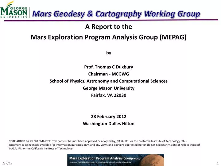
Mars Geodesy & Cartography Working Group. A Report to the Mars Exploration Program Analysis Group (MEPAG) b y Prof. Thomas C Duxbury Chairman - MCGWG School of Physics, Astronomy and Computational Sciences George Mason University Fairfax, VA 22030 28 February 2012

E N D
Mars Geodesy & Cartography Working Group A Report to the Mars Exploration Program Analysis Group (MEPAG) by Prof. Thomas C Duxbury Chairman - MCGWG School of Physics, Astronomy and Computational Sciences George Mason University Fairfax, VA 22030 28 February 2012 Washington Dulles Hilton NOTE ADDED BY JPL WEBMASTER: This content has not been approved or adopted by, NASA, JPL, or the California Institute of Technology. This document is being made available for information purposes only, and any views and opinions expressed herein do not necessarily state or reflect those of NASA, JPL, or the California Institute of Technology. TCD: LOLA / LROC
Mars Geodesy & Cartography Working Group NAC R • Reports to the Mars Exploration Program Scientist • Dr. Richard Zurek, JPL • Participating Members (Volunteers) Funded Independently • NASA, ESA, Roscosmos, . . . • Provides IAU with Improved Mars Geodetic / Cartographic Constants, Conventions • Spin Pole Direction, Spin Rate, Prime Meridian • Recommend to NASA and International Mars Projects and Geodesy / Cartography • Research Groups “Best” Data Sets to Use • Planetary Ephemerides, Phobos / Deimos Ephemerides, Digital Terrain Models, • Reconstructed Orbits, Spin Pole / Rate and Prime Meridian, NAIF SPICE Kernels, • Provides an Independent Review / Validation of Precision Cartographic Landing • Site Map Products used for Mission Operations • MPF, MPL, Beagle 2, MER, Phoenix, MSL, PhSRM (GRUNT) • Makes Observation Recommendations to Individual Projects that Support MGCWG • Objectives • Observe Geodetic / Cartographic Targets • VL-1, VL-2, MPF, MER-A/B, Phoenix, Airy 0, . . . MSL • Track Landers for Spin Property Improvements • Provides Mechanism to Discuss Instruments / Datasets Across Projects NAC L TCD: LOLA / LROC
MARS PRIME MERIDIAN – AIRY 0 TCD: LOLA / LROC
MARS POLE / SPIN RATE • Current Model of the Form: • Does not Reflect Seasonal Mass Movements Between the Poles or Improved • Spin Rate (Konopliv, et. al., Folkner, et. al.) • Periodic Variations Having Amplitudes of up to 15 meters ( ~100 HiRISE pixels)
NEW FORM OF MARS SPIN DIRECTION / RATE • An Update to the Mars Spin Pole Direction and Spin Rate is Being Prepared to be • Provided this summer to the IAU as the New Recommended Standard – Awaiting • New Results from Konopliv, et. al. • Example of new form derived from Konopliv, A., et. al., Folkner, W., et. al. • Will be provided to the US / International Community as NAIF SPICE Kernel. Each • Project / Research Group will Evaluate for Adoption.