Download
1 / 17
170 likes | 186 Views
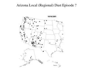
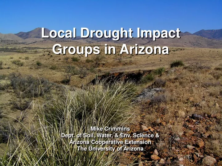
Local Drought Impact Groups in Arizona. Mike Crimmins Dept. of Soil, Water, & Env. Science & Arizona Cooperative Extension The University of Arizona. Governor’s Office & Cabinet. Arizona Department of Water Resources. Monitoring Committee. Interagency Coordinating Group. Local Drought

E N D
Local Drought Impact Groups in Arizona Mike Crimmins Dept. of Soil, Water, & Env. Science & Arizona Cooperative Extension The University of Arizona
Governor’s Office & Cabinet Arizona Department of Water Resources Monitoring Committee Interagency Coordinating Group Local Drought Impact Groups (LDIGs) Mitigation & Response Assessment & Adaptation Arizona Drought Preparedness Plan: Organizational Structure Monitoring & Preparedness From ADWR 2006
Local Drought Impact Groups • Geographic Scale: County-level • Leadership: Organized and coordinated by local Cooperative Extension and Emergency Management; oversight by AZ Dept of Water Resources • Membership: Local municipal officials, natural resource managers, agricultural producers, water mangers/providers, concerned citizens/watershed groups • Function: Organize local-level drought impact monitoring, assess local vulnerabilities, develop response, mitigation, and outreach plans
LDIG Development • Six established groups • Two in initial meetings stage • Six to be developed over next 2 years
LDIG Activities • Development of subcommittees: monitoring, mitigation/response, education/outreach • Quarterly full group meetings, periodic subcommittee meetings • Developing monitoring plans/recruiting volunteers (impact reporting, precipitation) • Providing local reports for state drought status maps • Finding local support ($$), initiating local efforts (e.g. Santa Cruz NRCD – meteorological stations with soil moisture at several ranches throughout county)
Successes and Challenges • LDIG meetings have been well attended – broad interest in drought monitoring and preparedness • Are all of the necessary stakeholders at the table in each county? • Volunteer participation has continued beyond initial planning stages – enthusiasm and interest continues, but… • No financial support for coordination or activities at county level – how long can initiatives be maintained? • Exciting, innovative approach to drought monitoring and planning • Exciting, innovative approach to drought monitoring and planning
Arizona Drought Impact Reporting System • Impact monitoring = key LDIG task • Why?: better characterizations of drought, vulnerability assessments • Requested development of tool to facilitate collection and synthesis of impact reports • Initial effort was a hardcopy impact checklist adapted from Colorado Drought Plan; iteratively adjusted with feedback from all LDIGs • Request for transition to web-based tool
AZ-DIRS Development • Temporary, form-based system (v1.0) deployed for testing in 2006 • Feedback from LDIGs and MTC = focus group meetings, teleconference meetings, and email communications • ‘Mock up’ system being used to gain feedback on system design, features, and general structure continued interaction with LDIGs to guide development process • Operational system in place by spring 2008
AZ-DIRS v1.0 • Project Partners • AZ Governor’s Drought • Task Force • Arizona Coop. Ext. • Arizona Dept. of Water • Resources ($) • USDA-NRCS ($) • NDMC ($) • University of Arizona • Research Centers • (SAHRA($), WRRC($) • OALS) • County LDIGs http://java.arid.arizona.edu/ccdis
AZ-DIRS v2.0 Impact observed? Yes/No yes no Trends, specific impact details, and additional geographic info provided here http://dirs.arid.arizona.edu/index.html
AZ-DIRS: Impact reporting sectors • Agricultural Operations • Livestock Production and Rangelands • Economic, Cultural, Recreation • Aquatic Species/Riparian Areas • Terrestrial Wildlife • Plant Communities/Ecosystem Function • Hydrology/Water Resources
AZ-DIRS: Custom Features • User profile management (customize geographic areas, sectors) • Observed impacts will be switched on/off each month • Automated email notifications will remind observers to revisit previously reported impacts (e.g. ‘turn off’ impact that is no longer occurring • Notification when impacts are reported in geographic areas of interest (RSS feeds, email alerts)
AZ-DIRS: Custom Features • Additional data types (e.g. NRCS/NRCD vegetation monitoring, photo points) • Google Map platform will allow impact maps to be exported into Google Earth • Customized reporting (agencies vs. media) • Integration into Arizona Hydrologic Information System (Rainlog, Arizona Flood Warning &Drought Monitoring System, Arizona Wells Database…) • Coordination/connection to National Drought Impacts Reporter
Implementation of AZ-DIRS • Identify key impact reporters (by watershed and sector) • Training workshops • Web-based training materials • Administrative tools LDIGs manage impact reporter accounts • Monthly/quarterly reports • Additional reports based on requests to reporter email list
Stay tuned…crimmins@u.arizona.eduhttp://cals.arizona.edu/climate