Download
1 / 13
130 likes | 276 Views
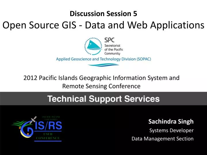
Discussion Session 5 Open Source GIS - Data and Web Applications. 2012 Pacific Islands Geographic Information System and Remote Sensing Conference. Sachindra Singh Systems Developer Data Management Section. Misconceptions. Is the software really free?

E N D
Discussion Session 5Open Source GIS - Data and Web Applications 2012 Pacific Islands Geographic Information System and Remote Sensing Conference Sachindra Singh Systems Developer Data Management Section
Misconceptions • Is the software really free? (Yes) – Free as in “free speech”, not “free beer” • Do its capabilities really compare with closed source software that I pay money for? (Yes) – e.g. OsGeo Projects – approx 10 web mapping solutions plus 3 complete Desktop GIS solutions • Can I get support for it? (Yes) – large community, donor support, commercial support, global conferences • Can it work together with my existing commercial software? (Yes) – OGC services compliancy, interoperability across different platforms and solutions
Why SOPAC? • Existing relationships with GIS Units in the Pacific, data providers, donors, global agencies. • CRGA (SPC/SOPAC Governing Council) Endorsement “44. Strongly recommend that the SOPAC Division continues to prioritise, support, maintain and extend its existing open source analysis and data management tools and systems for partners and island members; and provide appropriate advocacy and support to island members in using open source technologies for ICT systems development.”
But a TOOL. Open source geospatial systems are NOT the end goal, but one just approach to promote and advocate the importance of GIS. Not a "end all" and "be all" solution.
Maturity Desktop GIS is a bit immature. Only basic functionality is stable. On the enterprise/server side – it is ready for production. (1:1 Feature Parity)
Total Cost of Ownership But there is a cost associated with both OSS and Proprietary software.
Not FREE in monetary cost Focus on ROI not TCO
FOSS does have LOWER TCO Reduced Costs: Sweden A feasibility study conducted by the Swedish Agency for Public Management concludes: Increased competition. Improved interoperability. Reduced costs. for administration in the public sector. Free and open source software is not any makeshift phenomenon, but instead a fully adequate and dependable competitor to existing proprietary products and solutions. Full report available online at: http://www.statskontoret.se/pdf/200308eng.pdf
Taki, Piracy Unethical and illegal
Clear Adoption Path Open Source GIS -> (getting started) Propriety Advanced-level products -> Cloud (ArcServer etc.) or Self-Hosting (Geonode etc.) dependent on costing and human resources.
Outcome To encourage cost-effective adoption of GIS in the Pacific, and to counter GIS commercial software privacy, the conference decided that open source geospatial systems should be explored in depth and adopted after careful analysis and study, and if found suited to the immediate requirements.
sopac-gis-os GIS-oriented Linux (Operating System) Distribution based on Free and Open Source Components built and supported by SOPAC. http://ict.sopac.org/gisos