Download
1 / 32
320 likes | 408 Views
ATM 401/501 Status of Forecasting: Spring 2013. 1. Forecasting at NCEP Environmental Modeling Center http://www.emc.ncep.noaa.gov/ Ocean Prediction Center http://www.opc.ncep.noaa.gov/ National Hurricane Center http://www.nhc.noaa.gov/ Hydrometeorological Prediction Center

E N D
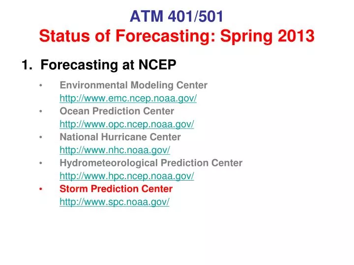
ATM 401/501Status of Forecasting: Spring 2013 1. Forecasting at NCEP • Environmental Modeling Center http://www.emc.ncep.noaa.gov/ • Ocean Prediction Center http://www.opc.ncep.noaa.gov/ • National Hurricane Center http://www.nhc.noaa.gov/ • Hydrometeorological Prediction Center http://www.hpc.ncep.noaa.gov/ • Storm Prediction Center http://www.spc.noaa.gov/
ATM 401/501Status of Forecasting: Spring 2013 See also: Hitchens, Nathan M., Harold E. Brooks, 2012: Evaluation of the Storm Prediction Center’s Day 1 Convective Outlooks. Wea. Forecasting, 27, 1580–1585. (PDF Link)
Super Tuesday Tornado Outbreak February 5-6, 2008 • 63 tornadoes, 57 fatalities • Deadliest event since ’85 • Outlook issued 6 days prior • POD 100% for tornadoes occurring in SPC watches • Average warning lead time 17 min x
February 5-6, 2008 Tornado Outbreak Hazards Assessment x
February 5-6, 2008 Tornado Outbreak Day 4-8 x
Day 3 Categorical Probabilistic February 5-6, 2008 Tornado Outbreak Categorical Probabilistic Day 2 x
Day 1 Convective High Winds February 5-6, 2008 Tornado Outbreak Hail Tornado x
June 17, 2010 • Tornado Outbreak – Upper Midwest • Record tornado day in Minnesota (48 tornadoes) • 17 EF2+ tornadoes including four rated EF4 (in MN and ND) • 3 killed, more than 40 injured, and widespread damage • Strongly forced situation with well-defined frontal boundary Tornado Damage in Holmes, ND From Steve Weiss’ Talk at 2010 NCEP Review
Deterministic 00z WRF Model Forecasts valid 18z-04z EMC 4 km WRF-NMM NSSL 4 km WRF-ARW From Steve Weiss’ Talk at 2010 NCEP Review
WRF Simulated Reflectivity 18 hr Forecast valid 18z 17 June 2010 NMM4NSSL4 Radar
WRF Simulated Reflectivity 19 hr Forecast valid 19z 17 June 2010 NMM4NSSL4 Radar
WRF Simulated Reflectivity 20 hr Forecast valid 20z 17 June 2010 NMM4NSSL4 Radar
WRF Simulated Reflectivity 21 hr Forecast valid 21z 17 June 2010 NMM4NSSL4 Otter Tail Cnty EF4 1 Killed Radar
WRF Simulated Reflectivity 22 hr Forecast valid 22z 17 June 2010 NMM4NSSL4 Radar
WRF Simulated Reflectivity 23 hr Forecast valid 23z 17 June 2010 NMM4NSSL4 Polk Cnty EF3 1 Killed Radar
WRF Simulated Reflectivity 24 hr Forecast valid 00z 18 June 2010 NMM4NSSL4 Radar Freeborn Cnty EF4 1 Killed
WRF Simulated Reflectivity 25 hr Forecast valid 01z 18 June 2010 NMM4NSSL4 Radar
WRF Simulated Reflectivity 26 hr Forecast valid 02z 18 June 2010 NMM4NSSL4 Radar
WRF Simulated Reflectivity 27 hr Forecast valid 03z 18 June 2010 NMM4NSSL4 Radar
WRF Simulated Reflectivity 28 hr Forecast valid 04z 18 June 2010 NMM4NSSL4 NSSL WRF developed excessive cold pool and surged leading edge of convection too far southeast across Iowa. Initially “slow” NMM was better with location but intensity was too weak near Mississippi River. Radar
SSEF Tests of Double-Moment Microphysics 27 hr Forecast valid 03z 18 June 2010 Thompson WDM6 All members identical to SSEF 4 km ARW control run (upper left) except for different double-moment microphysics schemes. All moved convection southeastward too rapidly. Morrison Radar