Download
1 / 6
60 likes | 175 Views
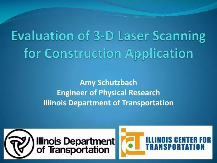
Evaluation of 3-D Laser Scanning for Construction Application. Amy Schutzbach Engineer of Physical Research Illinois Department of Transportation.

E N D
Evaluation of 3-D Laser Scanning for Construction Application Amy Schutzbach Engineer of Physical Research Illinois Department of Transportation
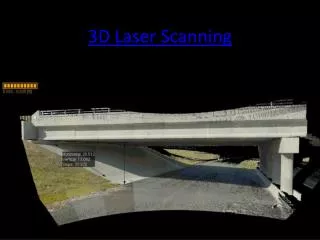
3-D Glasses not Included | The 3-D laser scanning set-up used by researchers in this study. The inset is a diagram of the 3-D scanner that shows the laser device’s degrees of movement potential. Project Information • ID: R27-30 • Project Cost: $199,246 • Project Duration: 23 months • Principal investigators – SIU - Edwardsville: • Dianne K. Slattery, Ph.D., P.E. • Kerry T. Slattery, Ph.D., P.E.
Primary goal: Use of laser scanner to evaluate pay quantities for earthwork operations Results: • Time and manpower cost savings - 18 man-hours/mile (scan) vs. 28 man-hours/mile (conventional) • Accurate to within .1 foot on rough terrain to distances of 600 feet • Provides multiple ways of displaying data without additional field work – cross sections, skewed sections, intersecting roads • Field techniques for collection and office work already within skill sets of survey personnel and resident engineers • Need to develop standard practices for error analysis when using scanner
Secondary goal: Use laser scanner for real-time monitoring of settlement during pile driving operations Results: • Values appear to be within error of laser scanning operation – movement of less than .1 foot cannot be measured with confidence • Accurate to within +/- .1 foot, requiring additional surveying support to verify accurate measurements • Variation likely due to slight movement of scanner during the operation
Other goals Successful: • GIRDER DEFORMATION • Accurate; measures movement > .01 foot in single scan • Allows for less worker time in roadway and keeps surveyors out of roadway during scanning • May be able to scan without any lane closure • Scan can be completed in 15 min. Some Success: • archaeological investigations • Not feasible to determine characteristics outside of the scanner’s line of sight (eg., depth of excavation) • Provides valuable 3D summary of location of visible features Inconclusive: • PAVEMENT SMOOTHNESS • GS type scanner inconclusive; vertical accuracy ≈.10 foot. • GX type scanner may produce better results
Other goals Unsuccessful: • EVALUATING GRAVEL AND PAVEMENT THICKNESS • GS 200 was not adequate to calculate granular base or pavement thicknesses for quality control purposes • GX type scanner may produce better results due to dual axis compensation Unsuccessful: RECONAISSANCE FOR DESIGN -MEASURING FOR PAYMENT BEFORE START OF CONSTRUCTION IN WOODED OR HIGHLY VEGETATIVE SURFACES • Limited use/little utility – ground must be mowed, harvested or lightly cleared to ensure that accuracy is within .1 foot