Download
1 / 28
280 likes | 433 Views
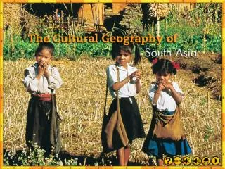
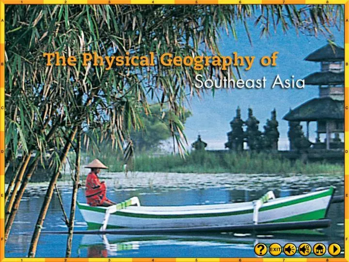
Intro 1. South East Asia Landforms and Resources. Southeast Asia has two distinct subregions. The southeastern corner of the Asian mainland and a great number of Archipelagos , or island chains.

E N D
South East Asia Landforms and Resources
Southeast Asia has two distinct subregions. The southeastern corner of the Asian mainland and a great number of Archipelagos, or island chains. Mainland Southeast Asia lies on two peninsulas: the Indochinese Peninsula and the Malay Peninsula. On the islands, most of the mountains are volcanic. The mainland has several mountain ranges.
Southeast Asians rely on waterways for transportation, communication, and food. Mainland rivers originate in the northern highlands and flow south toward the Gulf of Thailand. The Mekong Riverbegins in China and crosses several South East Asian Nations before becoming a wide Delta on Vietnams coast.
Fertile soil is a valuable resource in Southeast Asia. Both volcanic activity and flooding rivers add nutrients to the soil. Southeast Asians also have access to large numbers of fish in the rivers and nearby sea. Parts of the region have mineral resources, which build industry. Indonesia, one of the leading producers of oil, is a member of OPEC.
South East Asia Climate
A tropical wet climate is found in coastal parts of Myanmar, Thailand, Vietnam, and Oceania, and in most of Malaysia, Indonesia, and the Philippines. Temperatures are high and rain falls year round. Elevation, ocean breezes, and other factors can create cooler temperatures. Bordering the tropical wet climate zone is the tropical wet and dry climate zone. In this zone, monsoons shape the weather. This climate is found in parts of Myanmar, Thailand, Laos, Cambodia, and Vietnam. Parts of Oceania and northern Australia also have this climate.
Human Environment Interaction South East Asia
Natural disasters and their effects are part of everyday life in many parts of Southeast AsiaMuch of Southeast Asia is part of the Ring of Fire and is subject to earthquakes and volcanic activity.
Java,an Indonesian island, is one of the Ring of Fire’s most active areas. In 1883, the eruption of Krakatau (Krakatoa) in Indonesia caused massive destruction and great loss of life.
Earthquakes can lead to Tsunamis, giant waves caused by displaced ocean water often caused by earthquakes or landslides. The day after Christmas in 2004, an earth quake of the coast of Indonesia set off a series of devastating Tsunamis killing more than 225,000 and displacing a million people in 11 countries. Seismographs measured the quakes magnitude between 9.1 – 9.3. It created waves 100 feet high that smashed into coastal communities. In addition to the loss of human life the tsunami wiped out infrastructure, killed crops, and disrupted labor and governmental forces leaving the countries in economic ruin. Standing water, no sanitation, and decaying bodies put the surviving population at great risk. Humanitarian Aid has helped the region rebuild and develop a warning system.
Flash floods occur periodically from Monsoons, Cyclones, and Typhoons..
As industrial output increases, the standard of living has risen, but industrial pollution also has affected many areas. In Singapore, strictly enforced environmental laws keep the city extremely clean, making it an exception in Southeast Asia.
Oceania and Antarctica Landforms and Resources
No one knows how many islands exist in the Pacific Ocean, but some geographers estimate that there are more than 20,000. As a group, the Pacific Islands are called Oceania. Most Pacific islands fall into one of two categories: high islands created by volcanoes or low islands made of coral reef build up created by a submerged volcanoes. Most low islands are Atolls.
New Zealand has two main islands, North Island and South Island. Running down the center of South Island is a 300-mile-long mountain range called the Southern Alps. North Island is much less mountainous than South Island. North Island has fertile farmland and forests that support the lumber industry. New Zealand’s swift-flowing rivers have allowed it to build dams that generate electricity. Also, North Island has a volcanic area with underground steam.
Australia is the smallest of the continents, and the flattest. Near the eastern coast is a chain of highlands called the Great Dividing Range. To the west of this coastal range stretches a vast expanse of plains and plateaus, broken only by low hills and scattered, very low mountain ranges. Australia has few rivers that flow all the time. Among those that do flow all year is the Murray River, Australia’s longest river, which flows into the Southern Ocean. Along Australia’s northeast coast lies the Great Barrier Reef, a 1,250-milelong chain of more than 2,500 reefs and islands.
Oceania and Antarctica Climate
Most of Oceania features a tropical rain forest climate.In general, Oceania does not have diverse vegetation. The low islands have poor soil and small amounts of rain, so plants do not grow well. Some high islands have rich, volcanic soil and plentiful rain. These islands have abundant flowers and trees, such as the coconut palm.
New Zealand and the southern part of Australia’s east coast share a marine west coast climate. The seasons have mild temperatures because ocean breezes warm the land in the winter and cool it in the summer. New Zealand receives rainfall year round. However, the amount varies dramatically from one part of the country to the other.
Mountains influence Australia’s climate, with the Great Dividing Range forcing moisture-bearing winds to rise and shed their rain before moving inland. One-third of Australia is desert. The desert area lies in an oval in the center of the continent. This region is known as the Outback. It receives less than ten inches of rain a year. Encircling the desert is a band of semiarid climate. This area receives no more than 20 inches of rain a year.
Kookaburra Kangaroo Outback - is the term for the dry and unpopulated interior region of Australia Goanna Wombat Platypus Frillneck Lizard The Outback has many unique animals. Emu Koala echidna
Antarctica is the 5th largest continent. It’s ice sheet is the largest supply of freshwater. Antarctica is the Earth’s coldest and driest climate. It is often called a Polar Desert. The only things that can survive there are lichens and mosses that can with stand cold and periods of long darkness. It’s animals are mostly birds and sealife.
Human Environment Interaction Oceania
In 1859, Thomas Austin released 24 rabbits into Australia so he could hunt them. The rabbit population grew faster than anyone could control it. A single pair of rabbits can have up to 184 descendants in 18 months. Plus, rabbits have few natural enemies among Australia’s wildlife. By 1900, Australia had more than a billion rabbits. .
Rabbits wiped out native plants and destroyed crops. They ruined pastures. Some of Australia’s native animals became endangered because of competition for food. Australians imported foxes to prey on rabbits, but the growing fox population endangered Australian wildlife. In the early 1900s, the government built a 2,000-mile fence to keep rabbits from spreading to the southwest. This fence succeeded only temporarily before rabbits broke through to the new region. In the 1950s, the government infected wild rabbits with a disease killing more than 90 percent of the total rabbit population. But rabbits became immune to the disease and their numbers boomed again. Now Australians are using poison, introducing new diseases, erecting fences, and destroying the warrens and burrows where rabbits live.
During the arms race with the Soviet Union, the United States wanted to test nuclear bombs without endangering American citizens. In the 1940s and1950s, the United States conducted 66 tests in the Pacific. The U.S. government chose Bikini Atoll for testing because it lay far away from regular shipping and air travel routes. In 1946, the government moved167 Bikini Islanders to another atoll and conducted two atomic-weapons tests. From 1951 to 1958, the U.S. government held several more tests there. Bikini Islanders would like to move back to Bikini Atoll. A cleanup began in 1988. No one knows when Bikini Atoll will be suitable for human life.