Download
1 / 20
200 likes | 204 Views
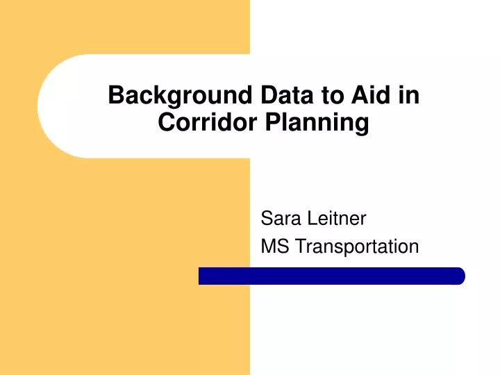
Background Data to Aid in Corridor Planning. Sara Leitner MS Transportation. What is Corridor Planning?. A framework to enhance the connection between land use and transportation planning City of Austin has created a corridor planning guidebook to aid in this process Objective:

E N D
Background Data to Aid in Corridor Planning Sara Leitner MS Transportation
What is Corridor Planning? • A framework to enhance the connection between land use and transportation planning • City of Austin has created a corridor planning guidebook to aid in this process • Objective: • To identify issues that need to be addressed on the candidate corridor
Background Data • Area Maps • Corridor Boundaries, Land Use, Neighborhood Associations, Facilities • Pedestrian Walkable Catchments • Accident Type and Location • Other
Data Sources • City of Austin GIS Data Sets website • Orthophotographic Imagery
Creating Area Maps • Easy to create using basic functions learned in class this semester
Pedestrian Walkable Catchment Areas • Method used presented by the Congress for the New Urbanism in a Transportation Tech Sheet • “Maps showing the actual area within a five- to ten- minute walking distance from any activity center or transportation stop.” • A good target is 60%
Method for Determining Walkable Catchments • Set-up ArcView Themes • Add Themes to view and change units to feet • Add Network Analyst Extension • Choose Find Service Area Option • This will allow the five- and ten- minute walking distances to be entered into the program • Choose Line Length as the Cost Field
Method for Determining Walkable Catchments • Locate the Site using the address button • Specify 1320 feet (one-quarter mile, five-minute distance) • Solve • Two new themes are created: Network area and the the Network itself.
Method for Determining Walkable Catchments • Find the parcels touching the network
Method for Determining Walkable Catchments • Edit the new Shapefile
North Loop Branch Library Catchment • The area of the parcels touching the network is 46.4 acres making a walkable catchment of 37.1%.
Transportation Stop • The five-minute area is 79.2% (45.0%). • The ten-minute area is 48.1% (39.5%).
Concerns with this Method • Not totally accurate due to the use of the Street Network not Sidewalk Network • Jaywalking, ADA ramps, Crosswalks and Cut-Thrus • Could help discontinuity
Conclusions on GIS use for Background Data in Planning • Provides an easy way to present visual cues in corridor studies • Walkable Catchments are fast and easy to determine • This will help determine areas of the street network that needs to be concentrated on for pedestrian accessibility.