Download
1 / 21
210 likes | 293 Views
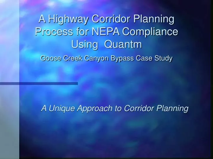
A Highway Corridor Planning Process for NEPA Compliance Using Quantm Goose Creek Canyon Bypass Case Study. A Unique Approach to Corridor Planning. Acknowledgements. Co-Authors – Dale Anderson, Karen Comings, Trevor Howard – Entranco, Inc. Len Bettess – Quantm, Inc. Jason Brinkman - ITD.

E N D
A Highway Corridor Planning Process for NEPA Compliance Using Quantm Goose Creek Canyon Bypass Case Study A Unique Approach to Corridor Planning
Acknowledgements Co-Authors – Dale Anderson, Karen Comings, Trevor Howard – Entranco, Inc. Len Bettess – Quantm, Inc. Jason Brinkman - ITD
What are our presentation objectives? • Discuss challenges – Highway Corridor Planning for NEPA Compliance • Present unique approach using Quantm and GIS • Describe solutions • Provide model for future NEPA work
What is purpose of Bypass? • Construct safe, economical, and environmentally acceptable highway around Goose Creek Canyon. • Why? • Narrow 22-foot wide roadway • Steep 7 percent grades • Shaded areas - frequent icing • Poor curvature, low driving speeds, • Inadequate passing opportunities.
What are challenges of the Highway Environmental Process? • Previously studied highway alternatives • Evaluate the existing highway upgrade comparably to new highway alternatives • Consider other highway alternatives with dollar and time limitations
What are challenges of the Highway Environmental Process? • Gain the trust and confidence of the citizens and resource agencies • Obtain concurrence on highway alternatives screening • Agree on how much data is enough to make a screening decision
What is Quantm? • Provides a highway planning, computer-based optimization tool • Helps locate highway alternatives • Meets pre-determined engineering & environmental criteria • Staff training and support
How was Quantm Applied to the Goose Creek Project? • Develop GIS data base • Linear Features - Roads, Railroads, Utility Network (power lines and power transfer stations), Streams, Nordic and Snowmobile Trails • Special Zones - Wetlands, Lakes, northern Idaho ground squirrel habitat (surveys from the recovery team field work), bald eagle habitat, cultural areas, public land, 4(f) recreational property and historic property, private land, and land use • Additional Data - Geologic Zones
Baseline highway alternatives – no environmental constraints
Establishing highway corridors – Quantm generates array of alternatives
Establishing highway corridors – Quantm generates array of alternatives
Establishing highway corridors – variable width corridor for detailed environmental inventory
How did our approach address challenges? • Previously studied highway alternatives? Imported into Quantm – compared on equal basis for engineering and environmental • Evaluate the existing highway upgrade? – Optimization for canyon route – not cost effective to meet design standards • Other alternatives with dollar and time limitations? Used existing GIS data, established design criteria, looked at new alignment within days
How did our approach address challenges? • Gain the trust and confidence of the citizens and resource agencies? Timely results for skeptical stakeholders – objective – costs and environmental impacts • Obtain concurrence on screening? Collaborate with stakeholders through workshops – demonstrate Quantm attributes – work through alternatives together • How much data is enough to make a screening decision? Agree on data needs for screening and corridor inventories – maintain flexibility – provide clear documentation
Where should we go from here? • Established highway corridor planning / environmental / engineering process • Establish highway corridors • Selects alternatives • Complies with NEPA • Addresses challenges – objective, cost-effective – quicker • We believe – it is worth repeating in Idaho