Download
1 / 21
210 likes | 222 Views
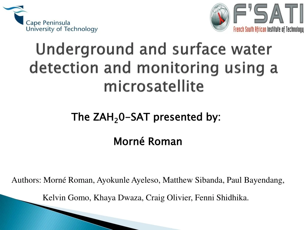
Underground and surface water detection and monitoring using a microsatellite. The ZAH 2 0-SAT presented by: Morné Roman. Authors: Morné Roman , Ayokunle Ayeleso , Matthew Sibanda, Paul Bayendang , Kelvin Gomo , Khaya Dwaza , Craig Olivier, Fenni Shidhika. Outline. Introduction

E N D
Underground and surface water detection and monitoring using a microsatellite The ZAH20-SAT presented by: Morné Roman • Authors: MornéRoman, AyokunleAyeleso, Matthew Sibanda, Paul Bayendang, Kelvin Gomo, KhayaDwaza, Craig Olivier, FenniShidhika.
Outline • Introduction • Key concept and business impact on society • Business model structure • Business feasibility • Logistical feasibility • Risk analysis
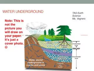
Introduction • Africa’s urban areas are growing at a significantly faster rate compared to the rest of the world • 240 million Africans are living in urban areas where the water supply is insufficient. • Number of people living with no access to drinking water has risen from 30 million in 1990 to 55 million in 2008. • A satellite mission to detect and monitor freshwater resources, is proposed.
Key concept and business impact on society Freshwater affects different aspects of our daily lives. Water Electricity generation Industry Health Agriculture Economic growth
Key concept and business impact on society • The proposed mission will provide water data. • Relevant authorities will use the information provided. [1] [2]
Business model structure Business Model Structure for freshwater source and level detection using the ZAH20 microsatellite
Business feasibility Cost estimation
Business feasibility Customers Projected Revenue (M$) Period (years) Period (years) Revenue projections for satellite in-operation period Customer or client base projections for satellite in-operation period
Business feasibility Yearly revenues and expenditures
Logistical feasibility Logistical feasibility Satellite bus Payload Launch Water (subject) Ground station
Payload • Sensors capable of detecting and monitoring surface and underground water are needed • Altimeter - surface water • Synthetic Aperture Radar (SAR) – underground water [3] [4]
Altimeter - Surface water • Altimeters determine the height of the ocean floor. • They make very accurate measurements of the oceans geography. Satellite Jason-2 using altimetry to monitor the ocean [5]
Altimeter - Surface water Altimeters used on satellite missions
Synthetic Aperture Radar - Underground water Satellite with a SAR EM radar waves Earth’s surface SAR EM waves reflecting back to the satellite [13]
SAR - Underground water SAR instrument technology: Mass/Power reduction versus increased capability [14]
SAR - Underground water SARs used on satellite missions N.A.: Not available
Business feasibility- Funding Yearly revenues and expenditures
Thank You!!! [29]
References [1] Rainharvest.co.za. “ Water crisis time bomb ticking”. Available online at: http://www.rainharvest.co.za/2010/08/water-crisis-time-bomb-ticking/ (Accessed 2 October 2012). [2] The virtual industrial exhibition. “Aqua-aerobic systems”. Available online at: http://www.directindustry.com/prod/aqua-aerobic-systems-inc/supervisory-control-and-data-acquisition-softwares-for-water-treatment-applications-89335-876909.html. (Accessed 2 October 2012). [3] USGS science for a scientific world. “Aquifers”. Available online at: http://ga.water.usgs.gov/edu/earthgwaquifer.html. (Accessed 2 October 2012). [4] H20-Tap water or bottle water—L’chaim. “High standards”. Available online at: http://www.jewishrecipes.org/food-health/water/high-standards.html. (Accessed 2 October 2012). [5] Eumetsat. “Jason-2: using satellite altimetry to monitor the ocean”. Available online at: www.eumetsat.int/jason/print.htm, 2009 (Accessed 14 August 2012). [6] GEOSAT. “GEOSAT (geodetic / geophysical satellite)”. Available online at: https://directory.eoportal.org/web/eoportal/satellite-missions/g/geosat (Accessed 14 August 2012). [7] GEOSAT. “U.S Navy GEOdeticSATellite”. Available online at: science.nasa.gov /missions/geosat/(Accessed 14 August 2012). [8] S. Mattei, et al. “Microsatellite laser altimeter feasibility study.” IEEE transactions on aerospace and electronic systems, 2006, 42(4): 1187-1197. [9] NASA. “Mercury laser altimeter (MLA)”. Available online at: nssdc.gsfc.nasa.gov /nmc/experimentDisplay .do?id=2004-030A -05 (Accessed 14 August 2012). [10] S. G. Moon, et al. “Towards a miniaturized photon counting laser altimeter and stereoscopic camera instrument suite for microsatellites”. 7thIAA symposium on small satellites for earth observation, 2009, 1-9. [11] ESA. “BepiColombo overview”. Available online at: http://www.esa.int/esaSC/120391_index_1_m.html (Accessed 14 August 2012). [12] N. Thomas. “The BepiColombo Laser Altimeter (BELA): Concept and baseline design”. Planetary and space science, 2007, 55:1398-1413. [13] COMET. “How Interferometry works”. Available online at: comet.earth.ox.ac.uk/schools/radar_interferometry/3 (Accessed 14 August 2012). [14] NASA. “DESCANO performance metrics”. Available online at: http://descanso.jpl.nasa.gov/PerformMetrics/SARTech.pdf, 2012 (Accessed 31 July 2012). [15] ESA. “ERS at a glance”. Available online at: www.esa.int/esaEO/SEMGWH2VQUD_index_0_m.html , 2012 (Accessed 31 July 2012).
References [16] ESA. “Space segment”. Available online at: https://earth.esa.int/web/guest/missions/esa-operational-eo-missions/envisat/satellite/space-segment (Accessed 31 July 2012). [17] Celentano, A. “ERS/ENVISAT ASAR Data Products and Services”. Available online at: www.unoosa.org/pdf/pres/stsc2006/ind-02.pdf (Accessed 13 August 2012). [18] R. Torres. “The ENVISAT ASAR instrument verification and characterisation”. Proceedings of the CEOS SAR workshop, 1999, 303-310. [19] Jaxa. “Advanced land observing satellite (ALOS)”. Available online at: www.jaxa.jp/projects/sat/alos/index_e.html, 2011 (Accessed 31 July 2012). [20] A. Rosenquist. “ALOS PALSAR: technical outline and mission concepts”. 4thInternational Symposium on Retrieval of Bio- and Geophysical Parameters from SAR Data for Land, 2004, 1-7. [21] ESA. “RADARSAT-2”. Available online at: https://earth.esa.int/web/guest/missions/3rd-party-missions/current-missions/radarsat-2 (Accessed 31 July 2012). [22] Canadian space agency. “RADARSAT-2 innovation”. Available online at: www.asc-csa.gc.ca/eng/satellites/radarsat2/innovations.asp (Accessed 31 July 2012). [23] NASA. “NASA radar finds ice deposits at Moon’s north pole”. Available online at: www.nasa.gov/mission_pages/Mini-RF/multimedia/feature_ice_like_deposits.html (Accessed 31 July 2012). [24] Chandrayaan. “Miniature imaging synthetic aperture radar”. Available online at: www.isro.org/Chandrayaan/htmls/minisar_nasa.htm (Accessed 31 July 2012). [25] The Hindu. “Mini-SAR on Chandrayaan-1: ISRO release”. Available online at: www.thehindu.com/sci-tech/article124968.ece (Accessed 31 July 2012). [26] Sumantyo, J. T. S. “Development of Circularly Polarized Synthetic Aperture Radar(CP-SAR) Onboard Small Satellite.” PIERS Proceedings, 2011, 334-341. [27] M. Harada. “Development of the compact infrared camera (CIRC) for earth observation”. International conference on space optics, 2010, 1-6. [28] T. Kimura, “Small SAR satellite technology promotes dissemination of a comprehensive space utilization system”. NEC technical journal, 2011, 6(1):71-75. [29] Rainharvest.co.za. “ Africa: “Efficient use of water critical“-Clinton”. Available online at: http://www.rainharvest.co.za/2012/06/africa-efficient-use-of-water-critical-clinton/ (Accessed 2 October 2012).