Download
1 / 32
480 likes | 1.09k Views
SAROPS Search and Rescue Optimal Planning System. SAROPS Technologies for Search, Assistance, and Rescue Seminar, Le Quartz, Brest, France, 18 – 20 October 2004 Malcolm L. Spaulding Applied Science Associates, Inc.(ASA), Narragansett, RI. SAROPS Team. United States Coast Guard

E N D
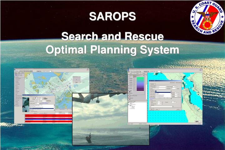
SAROPS Search and Rescue Optimal Planning System
SAROPS Technologies for Search, Assistance, and Rescue Seminar, Le Quartz, Brest, France, 18 – 20 October 2004 Malcolm L. Spaulding Applied Science Associates, Inc.(ASA), Narragansett, RI
SAROPS Team • United States Coast Guard • Northrop Grumman • Applied Science Associates (ASA) • Metron
Search & Rescue Problem • Create a SAR case when alerted • Gather data, estimate uncertainties • Use model to determine search area • Estimate resource availability and capability • Plan the next search • Promulgate the search plan • Perform the search plan • Evaluate the completed search • Repeat above until survivors are found and rescued
USCG Transition • SARTools • Joint Automated Worksheet (JAWS) • Near-shore search planning • Based on 1950’s paper & pencil technology • Computer Assisted Search Planning (CASP) • Offshore search planning • Based on 1970’s technology • SAROPS • Technologically current software tool • Near-shore and offshore search planning • Extensible to land-based search planning
SAROPSGoals • To provide fast, simple Search & Rescue predictions • Minimize data entry and potential for error • Automate data linkages • Environmental data inputs • Search Action Plan outputs • Simple visualization of results
SAROPS Scenario Types • Voyage scenario where object can pass through or loiter in a number of locations (positions or areas) using any combination of great circle and rhumb line routes • Initial Position (with bivariate normal uncertainty) and time uncertainty for an event, plus an offset for initial location and time of distress • Positions obtained from COSPAS-SARSAT, other GMDSS • Lines of Bearing (from Radio Direction Finding, Flare Sightings, Loran, and others) • Areas defined by polygons • “Reverse Drift” scenarios • Scenarios may be “weighted” COSPAS-SARSAT – Satellite based emergency beacon locator for search and rescue, GMDSS – Global Marine Distress Safety System
Fishing Area A Probable Error of Turn Point Position Home Port Fishing Area B Example Scenario A Sample Voyage
SAROPS Components • Graphical User Interface/ (GUI) • Environmental Data Server (EDS) • Simulator (SIM)
GUI Requirements • Deployable on ESRI® GIS mapping engine (C/JMTK) • Wizard based interface • Minimize keystrokes • Chart support (vector/raster) • Display environmental data • Animated display capabilities • Display recommended search plans/areas/patterns • Display probability maps (by scenario, object type or combined) • Reporting C/JMTK – Commercial/Joint Mapping Tool Kit
GUI • Wind Data • User Defined • Point/Gridded Fields • Regional • Global SRU Deployment Tools Simulator (SIM) ENV. DATA SERVER • Current Data • User Defined • Point/Gridded Fields • Regional • Global Results
SIM Requirements • “Monte Carlo” (particle) simulation (random walk/flight) • Simulate pre-distress motion & fixed hazards • Simulate distress incidents and outcomes • Simulate post-distress motion (drift) • Calculate near-optimal search plan (max POS) • Simulate simultaneous SRU and search object motion (use POD vs. range at CPA on each leg) • Compute cumulative POS • Account for effects of previous unsuccessful searching when recommending subsequent search plans. POD- probability of detection, POS- probability of success, SRU- search rescue unit, CPA –closest point of approach
SIM • Particle Filter Sample Paths • Example Below: 10,000 particles, only 5 shown. • Time t1 red ellipse • Time t2 lavender ellipse • Time t3blue ellipse t1 t3 t2
EDS Requirements • Surface current data • Surface wind data • Other (visibility, cloud cover, sea state, etc) • Automatically accommodate variable spatial scales/resolution • Select best data available • Global land database • Expansion of data products and uses
Gridded Point Finite Element SIM Common File Format (netCDF) EDS
XML SHP/DBF DBF NetCDF How do they communicate? GUI SIM “launch process” Sarops COM Extension SaropsSim Java EDS .NET Web Services
ArcGIS based Architecture - Conceptual WWW C O P EXT ArcGIS Mapping Framework TMS GEBASE EDS Maptech MORE EXT’S 3D Analyst • SAROPS Extension • GUI • SIM • SAR Tools Extension • Flares, Patterns, Etc Spatial - A GeoStat - A WeatherFlow * COP – Common Operational Picture, GEBASE – USCG GIS data distribution system C-Map Other…
SAROPS-EDS (COASTMAP)Currents:*User specified * NOAA/NOS tidal currents* Global atlas * Navy global ocean hydrodynamic model * Lake, coastal, and estuarine hydrodynamic models * HF radar systems Winds:* User specified* Navy global meteorological model* NOAA/NWS station forecasts
NOAA Great Lakes Environmental Research Laboratory, Hydrodynamic Forecasting System
Related DevelopmentDemonstration of linkage of SAROPS/ SARMAP to high frequency radar surface current data Sponsor: US Coast Guard, Research and Development Center Project Team: Anteon, ASA, University of RI and CT, and Rutgers University
Major Study Components • Link HF radar (Block Island Sound(BIS) and Mid Atlantic Bight (MAB)) to SARMAP/SAROPS • Extend development of short term forecasting system to include wind forcing • Compare random walk and random flight model predictions, using HF radar as input, to observed trajectories of 7 drifting buoys deployed in BIS and MAB • Demonstration of integrated system in operational setting for USCG