Download
1 / 20
200 likes | 284 Views
Digital Map Sources I. The first rule of building a GIS. Try to use somebody else’s data before you even think of generating your own. 1. Geographic data portals. Nat. Geospatial Data Clearinghouse. Composed of many federal agency reps. Developing the National Spatial Data Infra-structure

E N D
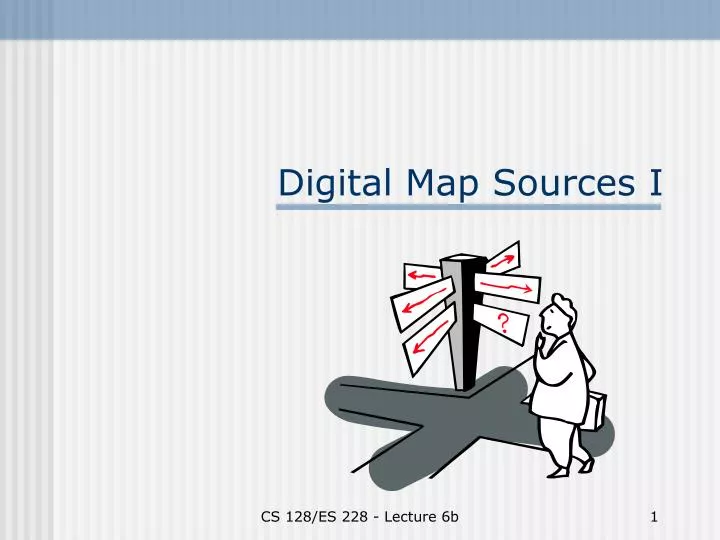
Digital Map Sources I CS 128/ES 228 - Lecture 6b
The first rule of building a GIS Try to use somebody else’s data before you even think of generating your own CS 128/ES 228 - Lecture 6b
1. Geographic data portals CS 128/ES 228 - Lecture 6b
Nat. Geospatial Data Clearinghouse • Composed of many federal agency reps. • Developing the National Spatial Data Infra-structure • Working with Office of Homeland Security CS 128/ES 228 - Lecture 6b
USGS: National Mapping Info. • Primary responsibility for US mapping • Mapping standards and metadata • Topographic maps • GNIS CS 128/ES 228 - Lecture 6b
US Bureau of the Census • Address and population data, tied to the census tract • TIGER maps CS 128/ES 228 - Lecture 6b
NYS GIS Clearinghouse Familiar site? • Statewide aerial photographs • DOT maps • Gateway to many USGS & NYS products CS 128/ES 228 - Lecture 6b
University sites Prominent GIS programs: • Cornell U. • U. Buffalo • U. Calif., SantaBarbara • U. Minnesota CS 128/ES 228 - Lecture 6b
Commercial sites • ESRI’s site (nice move, licensing GIS.com!) • The GIS portal!~ 100 GIS links • GIS World CS 128/ES 228 - Lecture 6b
2. Geographic exchange formats • De facto standard: a.k.a. “industry standard” based on market success of a particular software standard (ex. ArcView shapefile) • De jure standard: developed by professional organization, such as ANSI or ISO (ex. SDTS in US) • Regulatory standard: enforced by government (ex. cadastre maps for property/tax purposes) CS 128/ES 228 - Lecture 6b
Value of digital exchange standards CS 128/ES 228 - Lecture 6b
Examples of national standards • SDTS (US): Spatial Data Transfer Standard (now mandatory for all federal agencies) • CGIS (Canada): Canadian Geomatics Interchange Standard • NTS (UK): National Transfer Standard CS 128/ES 228 - Lecture 6b
3. Raster data formats CS 128/ES 228 - Lecture 6b
Remote sensing data sets • NASA’s EOS program • France’s SPOT http://earthobservatory.nasa.gov CS 128/ES 228 - Lecture 6b
EOS 19 Feb news item: Lack of Snow Drives Iditarod North CS 128/ES 228 - Lecture 6b
Digital Raster graphs (DRGs) • Scanned topographic maps at various scales • Resolution: 400 dpi typical • Projection and coordinate system: varies (read the metadata!) • Accuracy: roughly that of paper source maps • Layers: either 1 or 2. No full GIS capability CS 128/ES 228 - Lecture 6b
Sources of DRGs Commercial sources(e.g., Delorme, Silva) • 1:24,000 or 1:100,000 • ~ $100/state • various tools, but one layer CS 128/ES 228 - Lecture 6b
3-D renderings CS 128/ES 228 - Lecture 6b
USGS DRGs • 1:24,000 or 1:100,000 • two layers - features - topography • feature classes can’t be separated CS 128/ES 228 - Lecture 6b
DRG – viewing both layers The contour layer covers the features layer!What to do??? CS 128/ES 228 - Lecture 6b