Download
1 / 10
100 likes | 164 Views
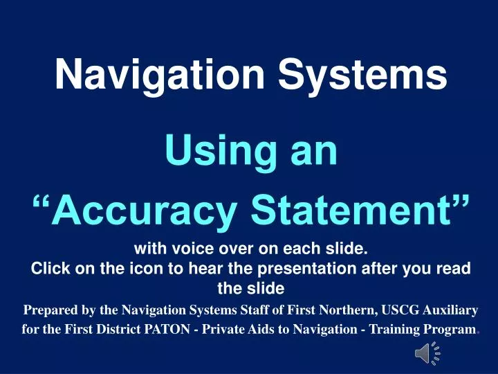
Navigation Systems Using an “Accuracy Statement” with voice over on each slide. Click on the icon to hear the presentation after you read the slide

E N D
Navigation Systems Using an “Accuracy Statement” with voice over on each slide. Click on the icon to hear the presentation after you read the slide Prepared by the Navigation Systems Staff of First Northern, USCG Auxiliary for the First District PATON - Private Aids to Navigation - Training Program.
This is the standard “Accuracy Statement” • A Garmin GPS 76 GPS with WAAS enabled, operating in 3D Differential was used to fix the aid. On-scene EPE was 7.0 feet. Pre-underway accuracy was checked with another GPS. • A Hummingbird Wide 100 echo sounder was used to take the depth. Pre-underway accuracy was checked at the dock with a hand-held echo sounder. Correction for the transducer is 0.8 feet. The on-scene Substation was Neponset River on Boston. • The reported fix and depth were taken approximately 3 feet from the aid.
Some contents of the “Accuracy Statement” are fixed • Manufacturer’s name and model numbers of all the electronic measuring equipment being used. • Special GPS features that measure quality. • A digital record of the equipment being used is established. The next slide shows this data.
ACCURACY STATEMENT: • A Garmin GPS 76 GPS with WAAS enabled, operating in 3D was used to fix the aid. On-scene EPEwas 7.0 feet. Pre-underway accuracy was checked with another GPS. • A Hummingbird Wide 100 echo sounder was used to take the depth. Pre-underway accuracy was checked at the dock with a hand-held echo sounder. Correction for the transducer is 0.8 feet. The on-scene Substation was Neponset River on Boston. • The reported fix and depth were taken approximately 13 feet from the aid.
Pre-underway Check Review of Measuring Equipment Step 1 – The GPSis checked. Step 2 – TheEcho Sounder is checked. The next slide shows you how to record the pre-underway accuracy of your electronic measuring equipment on an Accuracy Statement.
ACCURACY STATEMENT: • A Garmin GPS 76 GPS with WAAS enabled, operating in 3D Differential was used to fix the aid. On-scene EPE was 7.0 feet.Pre-underway accuracy was checked with another GPS. • A Hummingbird Wide 100 echo sounder was used to take the depth.Pre-underway accuracy was checked at the dock with a hand-held echo sounder.Correction for the transducer is 0.8 feet. The on-scene Substation was Neponset River on Boston. • The reported fix and depth were taken approximately 13 feet from the aid.
Equipment Accuracy checks when on scene at the aid • GPS quality checks: • Record the 3D – needs 4 or more satellites. • Record the EPE – should be under 20 feet, or • Record the HDOP – should be between 1 and 2 • Echo Sounder quality checks: • Sanity check for accuracy. • Record the H.O.T. – Height of Tide. • Record the Substation used. • Distance off PATON. • Record on the Accuracy Statement. The next slide demonstrates this data.
ACCURACY STATEMENT: • A Garmin GPS 76 GPS with WAAS enabled, operating in 3Dwas used to fix the aid. On-scene EPE was 7.0 feet. Pre-underway accuracy was checked with another GPS. • A Hummingbird Wide 100 echo sounder was used to take the depth. Pre-underway accuracy was checked at the dock with a hand-held echo sounder. Correction for the transducer is 0.8 feet. The on-scene Substation was Neponset River on Boston. • The reported fix and depth were taken approximately 13 feet from the aid.
Four Easy Steps Step 1.Maintain a copy of an “Accuracy Statement” on your computer’s desktop, updated with the fixed features of your GPS and Echo Sounder. Usually, this data doesn’t change unless you change OPFACs. Step 2.Update with your pre-underway data checks. Normally, this data stays the same for the PATONs being verified during the same patrol. Step 3.Update with your on-scene data checks. This data is recorded for a specific PATON. Step 4.Copy and paste the “Accuracy Statement” to your “7054 AV Verification Report.”
7054 Verification Report Copy the “Accuracy Statement” from your desktop and paste it to your “7054 AV Verification Report.” A special field is provided for this purpose.