Download
1 / 77
790 likes | 1.06k Views
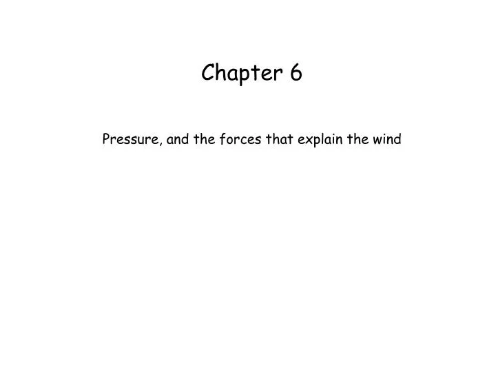
Chapter 6. Pressure, and the forces that explain the wind. D z. area. Hydrostatic balance: The upward pressure gradient force is equal and opposite to the gravity. aneroid barometer. mercury barometer. aneroid barograph. What is the typical SLP? How much does it vary ?. 780.

E N D
Chapter 6 Pressure, and the forces that explain the wind
Dz area Hydrostatic balance: The upward pressure gradient force is equal and opposite to the gravity
aneroid barometer mercury barometer aneroid barograph
780 Average air pressure in Laramie
We need to reduce station pressure to a standard height, for instance sea level Why? Because winds are driven by horizontal pressure differences
Where are you more likely to find a pressure value of 994 mb? At A or B ?
Becoming acquainted with contouring and frontal analysis • http://cimss.ssec.wisc.edu/wxwise/contour/index.html • http://cimss.ssec.wisc.edu/wxwise/fronts/fronts.html Defining patterns on a surface weather chart • lows and highs • trofs and ridges • saddle
ridge trof
The PGF is directed from high to low pressure, and is stronger when the isobars are more tightly packed
in reality, winds do not blow from high to low, at least not along the shortest path … so there must be other force(s)
Coriolis force Geostrophic wind balance: a balance between the PGF and the Coriolis force link
Buys-Ballot law • When you face downwind, the low will be on your left • Vice versa in the southern hemisphere you (seen from above)
The geostrophic wind blows along the isobars (height contours), counterclockwise around lows (in the NH), and at a speed inversely proportional to the spacing between the isobars (height contours)
in the southern hemisphere, the low is on your right when you look downwind L
There is a third force, important only near the ground Friction slows the wind
1008 1004 1000 • Interplay between 3 forces • Pressure gradient force • Coriolis force • Friction (near the ground) • Check out how they affect the wind! Guldberg-Mohn balance
Trajectories spiral out of a high, and into a low • ~ 10° over oceans • ~ 30° over land • > 30° near mountainous terrain
finally, a fourth force: centrifugal force CFF PGF Coriolis PGF Coriolis CFF faster-than-geostrophic wind (supergeostrophic) slower-than-geostrophic wind (subgeostrophic)
The jet stream wind is subgeostrophic in trofs, and supergeostrophic in ridges slow fast fast slow
subsidence leads to clear skies rising motion leads to cloudiness and precipitation
300 mb height, 9 Nov 1975, 7 pm Find the trofs Fig. 10.13
fast upper-level divergence, low-level convergence slow surface low 300 mb height, 9 Nov 1975, 7 pm Fig. 10.13
Today’s surface weather analysis http://www.rap.ucar.edu/weather/surface/sfc_den.gif http://weather.uwyo.edu/surface/front.html Today’s upper-air maps http://weather.uwyo.edu/upperair/uamap.html
Upper level charts are NOT plotted at constant height, eg 18,000 ft. Rather, they display the topography of a pressure surface, eg 500 mb
Pressure Approximate Height Approximate Temperature* 1013 mb 0 m (sea level) 0 ft 15 °C 59 °F 1000 mb 100 m 300 ft 15 °C 59 °F 850 mb 1500 m 5000 ft 5 C 41 F 700 mb 3000 m 10000 ft -5 C 23 F 500 mb 5000 m 18000 ft -20 C -4 F 300 mb 9000 m 30000 ft -45 C -49 F 200 mb 12000 m 40000 ft -55 C -67 F 100 mb 16000 m 53000 ft -56 C -69 F Approximate conversion of pressure level to altitude
Why do isobar and height contour charts look (almost) the same? 1560 m height high low 1500 m pressure surface sea level New York Boston Pressure decreases with height at about 10 mb every 100 m