Download
1 / 16
180 likes | 316 Views
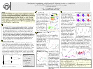
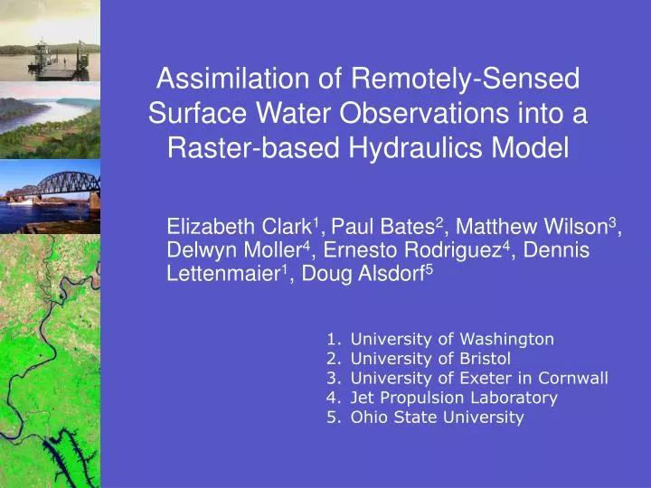
Assimilation of Remotely-Sensed Surface Water Observations into a Raster-based Hydraulics Model. Elizabeth Clark 1 , Paul Bates 2 , Matthew Wilson 3 , Delwyn Moller 4 , Ernesto Rodriguez 4 , Dennis Lettenmaier 1 , Doug Alsdorf 5. University of Washington University of Bristol

E N D
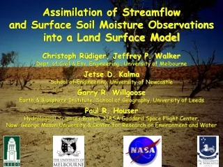
Assimilation of Remotely-Sensed Surface Water Observations into a Raster-based Hydraulics Model Elizabeth Clark1,Paul Bates2, Matthew Wilson3, Delwyn Moller4, Ernesto Rodriguez4, Dennis Lettenmaier1, Doug Alsdorf5 • University of Washington • University of Bristol • University of Exeter in Cornwall • Jet Propulsion Laboratory • Ohio State University
Purpose • Globally, discharge measurements are sparse and non-continuous • Knowledge of global discharge aids in: • Closing the global water balance • Transboundary water management • Prediction of biogeochemical fluxes • Estimation of freshwater fluxes to the Arctic • Satellite altimetry is able to estimate water level of rivers, reservoirs, lakes, and wetlands • We would like to extract discharge from water level
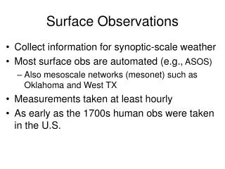
Water Elevation Retrieval • Ka-band SAR (synthetic aperture radar) with two 50 km swaths • Uses low incidence angle (<4o) to increase the brightness signal of water relative to land • Produces heights and co-registered imagery • IS IT POSSIBLE TO OBTAIN DISCHARGE FROM WATER LEVEL? • Also see Doug Alsdorf’s talk tomorrow at 11:55 am Lido Room Image from Ernesto Rodriguez
Heritage: Estimation of Streamflow from Water Level • Stage-discharge relationships derived for several locations in Congo River basin (Coe and Birkett, 2004) • Regression models, generally based on Manning’s equation (Bjerklie et al., 2003)
Heritage: Hydrologic Data Assimilation • Soil moisture (e.g. Margulis et al., 2002; Crow and Wood, 2003; Reichle et al., 2002) • Snow water equivalent (Andreadis et al., in review; Durand and Margulis, 2004)
Context: Virtual Mission Conceptual Design • Truth model: • Hydrologic model to generate lateral inflows and boundary conditions • Hydrodynamic model to generate ‘true’ stage • Measurements: • Instrument simulator to add measurement error • Inversion problem: • Now can we estimate the ‘true’ inflows from the synthetic measurements?
Context: Virtual Mission Hydrologic Model (VIC) Spatial and Temporal Resolution Tradeoffs Lateral inflows and boundary conditions Simulated Streamflow Simulated Interferometric Altimeter Swaths Measurement Error Simulated Surface Water Extent and Elevation Hydraulics Model (LISFLOOD- FP) NASA/JPL Instrument Simulator “Truth” Back Calculation of Discharge (Data Assimilation) Inversion
Study Domain • Ohio River flood during 1996 • 14 km hydrologic model resolution • 270 m DEM for hydraulics model • 50 m simulated satellite sampling resolution
Model Inputs • Discharge (lateral inflows and boundary conditions) generated by VIC model
LISFLOOD-FP • 1-D finite difference solutions of the full St. Venant equations • 2-D finite difference and finite element diffusion wave representation of floodplain flow Qij=AijRij2/3Sij1/2/n, i= upstream cell j= downstream cell n varies (channel vs. floodplain)
Simulated Truth • Water depth and discharge from 1995-1998 • 20 s time step • Output for every ~11 hours
Observations 39.2oN, 81.7oW Observed “True” Error • Generated by JPL Instrument Simulator 80.6 km 38.5oN, 82.3oW Water elevation (m) Error (m)
Data Assimilation: Ensemble Kalman Filter • Boundary condition (BC) and lateral inflow (LI) ensemble members represent propagation through VIC model of input errors from: • Precipitation (Nijssen and Lettenmaier, 2003) • Temperature (Andreadis, 2004) • LISFLOOD-FP propagates error from these BCs and LIs • Observations synthesized to minimize model errors versus normally-distributed measurement errors • Water level and discharge (states) updated
Prospects for Data Assimilation 2-D System Model Lisflood-FP • Perturbed INPUTS • Simulated discharge from VIC • Manning’s n • STATE • Water depth • Spatially distributed discharge Schematic of Ensemble Kalman Filter Filter incorporates available measurements to minimize error • MEASUREMENTS • Swaths of remotely-sensed water elevation with known error distribution • UPDATED STATE • Water depth • Spatially distributed discharge Kalman Filter Analysis Step Error is introduced into model Model propagates error • OUTPUTS • Estimated water depth • Estimated discharge • Associated error distributions
What will we learn from this exercise? • Feasibility of recovering discharge with little to no in-situ data • Evaluation of trade-offs between acceptable error and spatial resolution • Will elevation recovery work for streams of different sizes? • How fast does the ability to recover discharge degrade with spatial resolution?
Conclusions • Satellites have a great potential for measuring the stage of inland waters. • The use of data assimilation has been effective in other hydrologic applications and will likely play a role streamflow estimation. • Results of this exercise will show the extent to which discharge can be recovered from surface water elevations.