Download
1 / 27
270 likes | 424 Views
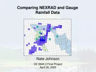
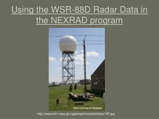
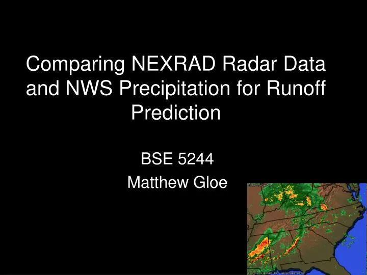
Comparing NEXRAD Radar Data and NWS Precipitation for Runoff Prediction. BSE 5244 Matthew Gloe. Nex t Generation Rad ar (NEXRAD) is a doppler radar system used to measure meteorlogic events. Emits energy pulses which reflect off of objects (raindrop, snowflake, insects, bids etc)

E N D
Comparing NEXRAD Radar Data and NWS Precipitation for Runoff Prediction BSE 5244 Matthew Gloe
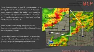
Next GenerationRadar(NEXRAD) is a doppler radar system used to measure meteorlogic events • Emits energy pulses which reflect off of objects (raindrop, snowflake, insects, bids etc) • Computers analyze reflected energy for travel time and frequency shifts
NEXRAD scans in three different modes, dependent on weather conditions occurring Severe Weather Clear Air Precipitation
NEXRAD produces two precipitation specific images than can be useful for quantifying rainfall in a GIS Storm Total Precipitation One Hour Precipitation
Data can be ordered for specific time periods using the NCDC data inventory search. This data can be made GIS ready using the NOAA Weather and Climate Toolkit www.ncdc.noaa.gov/nexradinv/
In the event a storm spans multiple days, individual radar files must be imported, converted, and combined to gain accurate accumulation = +
NWS observed precipitation archives are available online http://water.weather.gov/precip/download.php
The NWS observed precipitation is a combination of radar data, satellite precipitation images, and rainfall gauge reports HRAP Sphere GCS – requires reprojection
Runoff predictions were made utilizing soils and NLCD datasets. Calculations were performed similar to our class lab.
NWS - IDW NEXRAD
NWS - Spline NEXRAD
NEXRAD NWS - Kriging
It can be seen that raw NEXRAD data comparatively under predicted runoff • Radar inaccuracies can result from freezing or frozen precipitation, radar beam blockages, and the large area scanned (16km2) • NWS data utilizes correction factors from rainfall gauges and satellites to increase precision and accuracy