Download
1 / 14
210 likes | 603 Views
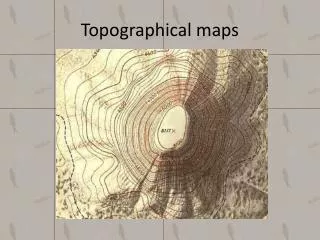
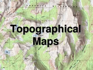
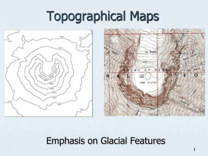
Topographical Maps. Emphasis on Glacial Features. Basic Definitions. Topography refers to the elevation and relief of the Earth’s surface. Landforms are the topographic features on the Earth’s surface. Geomorphology is the study of earth surface processes and landforms. .

E N D
Topographical Maps Emphasis on Glacial Features
Basic Definitions • Topography refers to the elevation and relief of the Earth’s surface. • Landforms arethe topographic featureson the Earth’s surface. • Geomorphology is the study of earth surface processes and landforms. Topographic Elevation map Infrared Aerial Photo Surface Sediments and Geomorphology This location is interesting because it contains elements of a natural and human altered physical environment. The lake in the image, (coded blue in the topographic and geology map, and black in the infrared aerial photo) was formed by artificial damming a stream the flows through this landscape.
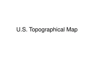
Topography Blue Ridge Piedmont Coastal Plain
Where photograph was taken U shaped valley Truncated spurs Misfit stream Flat glacial trough; no contour lines
Cirque Contour lines suggest height mountains, where cirques are found
Topographic Map of Crib Goch Cirque Arête Ribbon Lake
Topographic map of Mount Wilbur Ribbon Lake Glacial Horn Cirque U-shape Valley?
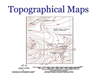
What is a topographic map? • A topographic map, also known as a contour map, is a map that shows the shape of the land using contour line. • It is a map that shows and elevation field, meaning how high and low the ground is in relation to sea level.
What are contour lines? • Contour lines are lines that connect points that are of the same elevation. • They show the exact elevation, the shape of the land, and the steepness of the land’s slope. • Contour lines never touch or cross.
What if my contour lines are far apart? • If the contour lines are far apart, then that indicates the land has a gentle slope (low slope).
What if my contour lines are close together? If the contour lines are close together, then that indicates that area has a steep slope.
What do the dark colored contour lines mean? • The dark colored contour lines represent every fifth contour line to make it easier to read the map.
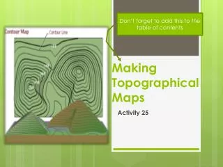
Creating a 3d Model From a Contour Map -Work in groups of TWO only -Use the template provided -Divide up the work… save time!