Download
1 / 19
190 likes | 309 Views
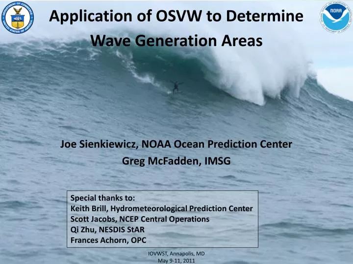
Application of OSVW to Determine Wave Generation Areas. Joe Sienkiewicz, NOAA Ocean Prediction Center Greg McFadden, IMSG. Special thanks to: Keith Brill, Hydrometeorological Prediction Center Scott Jacobs, NCEP Central Operations Qi Zhu, NESDIS StAR Frances Achorn , OPC.

E N D
Application of OSVW to Determine Wave Generation Areas Joe Sienkiewicz, NOAA Ocean Prediction Center Greg McFadden, IMSG Special thanks to: Keith Brill, Hydrometeorological Prediction Center Scott Jacobs, NCEP Central Operations Qi Zhu, NESDIS StAR Frances Achorn, OPC IOVWST, Annapolis, MD May 9-11, 2011
In search of wind fetch • NOAA/NWS - increasing focus on coastal effects: near shore waves, rip currents, inlets, water level, inundation • GOAL– objective method to estimate the magnitude of fetch for favored wave generation areas relative to specific coastal sites • Applicable to both NWP and gridded OSVW products • Use as a diagnostic by comparing remotely sensed and NWP sources • Give forecasters an early indication of potential threat, validity of NWP wind and wave predictions NASA OVWST, Boulder, CO May 18 – 20, 2008
In search of wind fetch • Thoughts • Forecasters rely very heavily on NWP sources for wave forecasts (weakness is NWP winds) • Present methods • subjective, limited scope (local) • inconsistent between offices/forecasters • Observing network (buoys) focused on nearshore and coastal areas (limits warning time for U.S.; other areas - no warning) • Opportunity to: • Optimize use of OSVW (full vector, global) • Extend awareness of wave generation and threat potential seaward • Provide objective and consistent methodology to understand and estimate wind/wave system NASA OVWST, Boulder, CO May 18 – 20, 2008
Approach • Developed a function in GEMPAK to calculate unit vectors of great circle paths emanating from a given Lat, Lon point (Great Circle Rays) • Terminate rays when strike land (GEMPAK function) • Apply unit vector field to gridded sources of wind (NWP and/or remotely sensed OSVW) to determine wind component opposing GC ray (site specific fetch) (negative values of dot product) MagSGCr=GCr.Vqscat Vqscat GCr Cape Hatteras MagSGCr If MagSGCr< 0 NASA OVWST, Boulder, CO May 18 – 20, 2008
Distant Storm Impacts North Pacific Storm – the Source 4 days later New Guinea – Wave Inundation QuikSCAT wind component – long fetch of Hurricane Force Winds GFS wind component – fetch of Gale Force Winds
1415 UTC 10 Feb 2011 SW Ireland
ASCAT (NOAA) GFS 10 – 1238 UTC F12 VT 10-1200 OSCAT ECMWF 10-1425 UTC F12 VT 10-1200
ASCAT (NOAA) GFS 10 –1420 UTC F18 VT 13-1800 OSCAT ECMWF 10-1604 UTC F18 VT 10-1800
1815 UTC 12 Feb 2011 Bay of Biscay
ASCAT (NOAA) GFS 13–0035 UTC F48 VT 13-0000 OSCAT 130246 ECMWF 11f48 13-0246 UTC F48 VT 13-0000
ASCAT (NOAA) GFS 13 –1317 UTC F60 VT 13-1200 OSCAT ECMWF 11f60 13-1515 UTC F60 VT 13-1200
ASCAT (NOAA) GFS 14– 0013 UTC F72 VT 14-0000 OSCAT ``` ECMWF 11f72 14-0155 UTC F72 VT 13-0000
Satellite Altimeter Wave Heights Significant Wave Height Average of 1/3 highest waves (feet) 57-66 ft 290 nm >45ft 600 nm >30ft North Atlantic Feb 14, 2011
Summary • Potential as tool for wave generation areas • OSVW • Threat Assessment • Diagnostic in comparison with NWP output • NWP (winds and waves) • Education tool for forecasters to objectively estimate sensitive areas (fetch windows) • Learning curve as how best to use (fields / displays) • Progress • Distribute GC grids and technique to NWS Coastal Offices working with WFO Juneau, AK • OPC web based displays for coastal areas of interest for • OSVW and NWP - completed for ASCAT and GFS • Guidance to serve coastal areas (education needed)