Download
1 / 36
370 likes | 422 Views
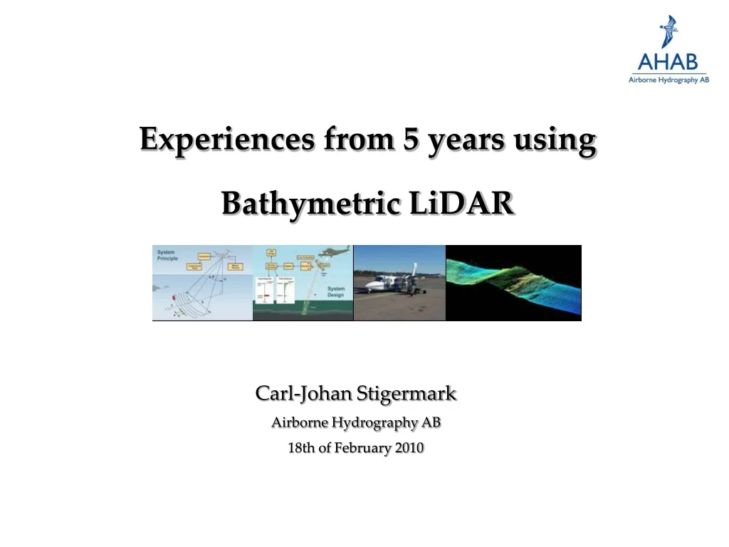
Experiences from 5 years using Bathymetric LiDAR. Carl-Johan Stigermark Airborne Hydrography AB 18th of February 2010. Simultaneous Survey of Land & Water with HawkEye II. Acqusition Rate 4000 soundings/second in water 64 000 soundings/second on land.

E N D
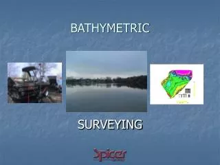
Experiences from 5 years using Bathymetric LiDAR Carl-Johan Stigermark Airborne Hydrography AB 18th of February 2010
Acqusition Rate4000 soundings/second in water 64 000 soundings/second on land
Sea Bed Identification By return Intensity • HawkEye sea-bed reflectance maps have been delivered to a number of commercial projects Sea-bed depth map Sea-bed reflectance map
Sea Bottom InventoryTregor, France Case One
Sea Bottom InventoryTregor, France • Working in 3-Dimensions • Orthophoto • Digital Terrain Model • Digital Profile
Sea Bottom InventoryTregor, France • Covering large areas in short time • Up to 30 km2/hour • Resolution 1,6 x 1,6 m in water • 0,4 x 0,4 m on land
Beach Restoration PlanningGulf of Aigues-Mortes, France Case Two
Beach Restoration PlanningGulf of Aigues-Mortes France - LiDAR technology allows to describe the topo-bathymetry of nearshore areas; - acquisition of topo-bathymetric data and orthopohotos with LiDAR technology is 30% less expensive than by traditional ways; - acquisition of a very large dataset by LiDAR technology allows to improve the quality and the precision of DTMs, DEMs and DSMs.
Beach ReclamationIsland Sylt Germany Case Two
Beach ReclamationIsland Sylt Germany Flightlines are 100 m wide incl overlap Survey flightlines 4km 1 minute Turning flightlines 10 km 3,5 minute Long and narrow flightlines
Total Marin InventoryIrish Seabed Survey Case Three
Construction PlanningYstad, Sweden Case Four
Construction PlanningYstad, Sweden Harbour Inlet 5 flightlines Pier
Erosion DetectionYstad Sweden Case Five
Erosion DetectionYstad Sweden Ystad before and after
Surveying in unknown waters Greenland, Denmark Planning Map Profile and Orthophoto
Eelgras PasturesYstad Sweden Case Five
Eelgras PasturesYstad Sweden Bottomclassification from laserdata: Low vegatation (algea, etc.) Ealgrass Sand Referensp0ints from underwatervideo (Lunds Universitet, Teknisk Geologi): Red points: Ealgrass Yellow points: Other No classification
Mine Detection Swedish & German Navy (South coast Sweden) Case Nine
River MorphologyGardon France Case Ten
River MorphologyGardon France • Unique features of laserbathymetry is • Wide range of applications areas • Nautical charting and sea bottom morphology • Marine biological habitat protection • Environment protection programs and to oversee resources in the coastal sea • Cost efficient in comparison with other survey methods • Low mobilizations costs to remote areas • High areal coverage 50-70 km2 per survey hour • Safe in dangerous areas and tidal zones • HawkEye II brings the future closer