Download
1 / 8
90 likes | 553 Views
Google Earth Introduction and Basics Content What is Google Earth Options of Google Earth Example of Google Earth applications How to get Google Earth Navigating Create a flight path 1. What is Google Earth

E N D
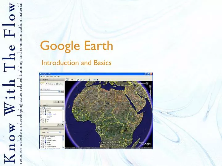
Google Earth Introduction and Basics
Content • What is Google Earth • Options of Google Earth • Example of Google Earth applications • How to get Google Earth • Navigating • Create a flight path
1. What is Google Earth Google Earth is a program which visualizes the globe in a 3D way. Maps of the globe are obtained from satellite images, air photographs and GIS. Google Earth is widely used and nowadays you see it more and more in papers and on television, for example in news broadcastings to show locations of events.
2. Options of Google Earth • Navigate the earth • Search for places • Mark places on the earth • Show your project area • Make flight paths
3. Example of Google Earth in use • Evaporation in Vietnam Source: waterwatch
4. How to get Google Earth • Google Earth is a free program which you can download at: earth.google.com • Minimum requirements of your computer: • Windows 2000 or Windows XP • CPU: Pentium 3, 500Mhz • System Memory (RAM): 128MB • Hard Disk: 400MB free space • Network Speed: 128 Kbits/sec • Graphics Card: 3D-capable with 16MB of VRAM • Screen: 1024x768, "16-bit High Color"
5. Navigating in Google Earth • With the navigation controller • With the mouse by dragging • With the key arrows on your keyboard
6. Create a flight path • Create new folder: Add > folder. Type folder name and click OK • Add placemarks on the map • Fly to your destination and go to add > new placemark. Adjust settings of placemark. • In the window “Google Earth new placemark” click on advanced. • To remove the icon, put scale on 0 at icon options. To adjust label size, change scale at label options. • To adjust tilt and heading, go to the tab “view” and adjust heading and tilt. • When everything is set, press OK • To start the tour, click on tools >play tour. The tour will fly to every place mark which is checked in the boxes. He will start from the top and goes down. So also other folders with checked boxes will be part of the tour.


